Togo PowerPoint Map
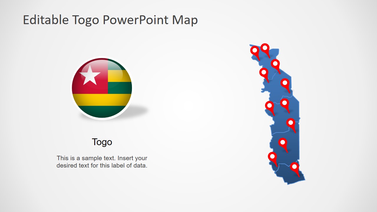
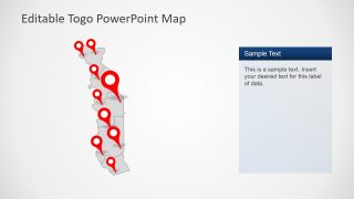
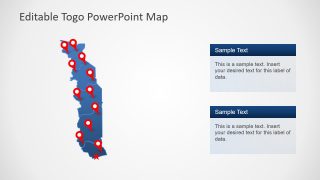
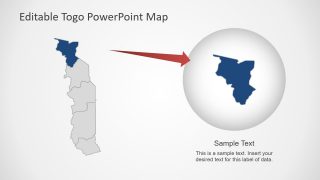
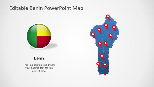
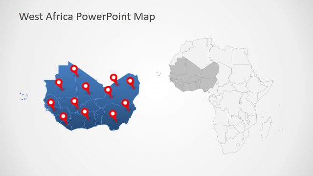
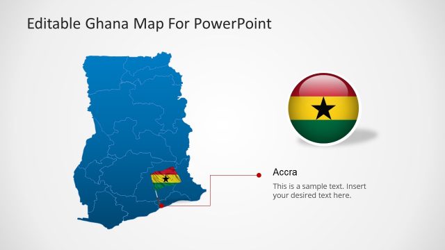
The Togo PowerPoint Map is an editable outline template of West African country. The PowerPoint map contains 8 slides of multiple layout designs. These slides include several clipart icons and shapes to support of Togo PowerPoint maps. Such as location pin markers, flags, and text placeholders. These are editable elements of PowerPoint, assisting presenter to describe multiple topics about Togo as a country. Especially to represent the country at international level such as economic forums, political, or business ventures.
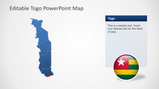
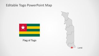
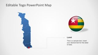
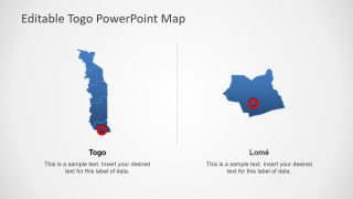
Togo, officially known as Togolese Republic, shares its borders with Benin, Ghana, Burkina Faso, and Gulf of Guinea. Here, the template of Togo map displays five administrative regions of country. And highlights the capital city Lome, which is also a capital city of Togo with zoom-in feature. Because each region of country is an individual segment, join to demonstrate map of Togo. These regions have outlines that depict territories. The users can change the colors of these territories and region from outline and shape fill features of PowerPoint.
The Togo PowerPoint Map shows eight slides of blue and gray of outline silhouette design. There are multiple versions of editable map that users can select for their presentations. Simply copy the desired slide layout and make changes like color, outline, size, text to adjust in presentation PowerPoint. These slides are ideal for statistical survey presentations such as economic growth and business opportunities. But this layout is also suitable for geography lessons in education industry.
