Subway Map Infographic PowerPoint Template
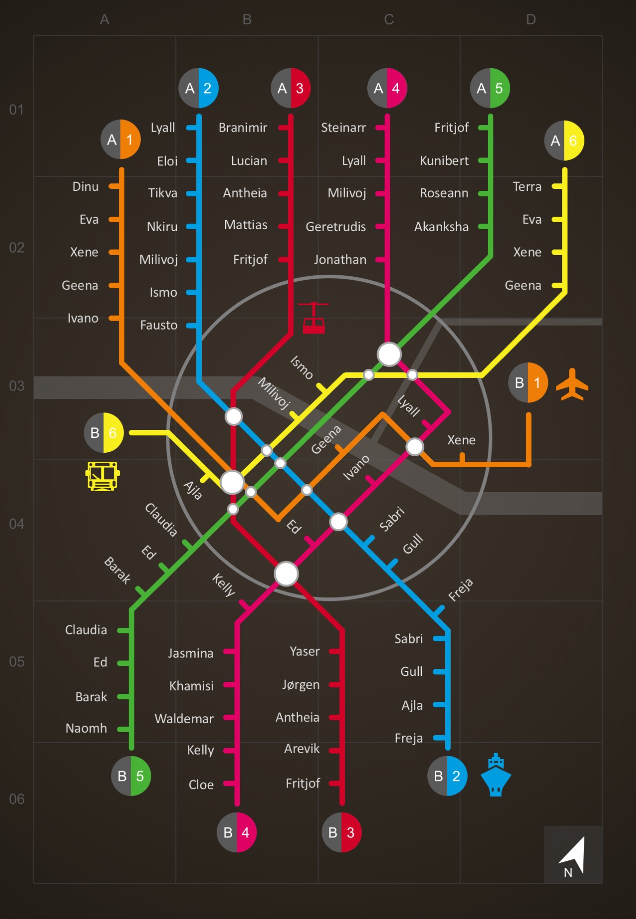
Subway Map Infographic PowerPoint Template is an easy-click PowerPoint tool to add stations to your subway map. It allows you to control how you create new terminals, stopovers, add text labels and icons. This PowerPoint infographic contains flat lines, gas stations, bus stations, airports, ports and other landmark objects.
This infographic is much cooler and more functional than any typical Subway Map design. The endless possibilities of using this subway map include feasibility studies, business locations, market study and other presentations on the distance between places.
This dark-themed subway map is visualized with neon color lines, cool PowerPoint shapes, and map tools. The route map highlights A and B destination terminals with six stations, whether it’s a bus or port station, for example. Each station is designed with text fields in which you can easily put the name of places accordingly.
Specifically, this allows you to have ownership of your Subway Map Infographic PowerPoint Template. For instance, you can place your business logo, phone number, email address and website. This is not only made functional but visually appealing as well.
PowerPoint Legend Icons:
- Airport
- Ports
- Gas stations
- Bus Stations
- Traffic Lights
- Train Stations
- Interchange lines
- Subway Lines
- Directional Arrows, and other;
- PowerPoint Infographic Elements
Alternatively, you can creatively do more with this Subway Map Template, combine with other maps for presentations, or you may opt to integrate this with our other PowerPoint Designs.
