South Dakota US State PowerPoint Map
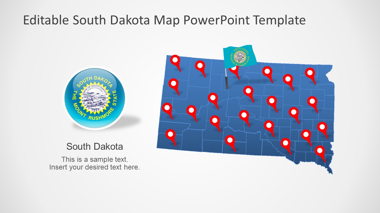
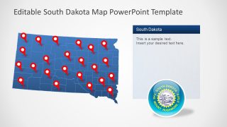
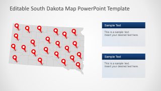
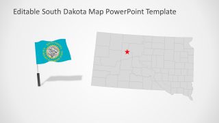
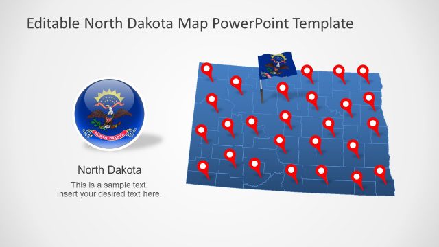
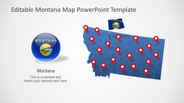
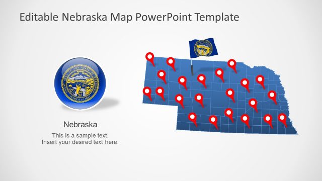
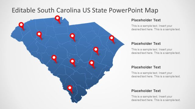
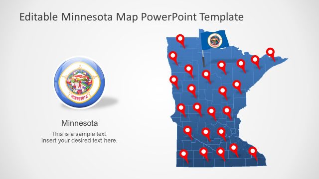
The South Dakota US State PowerPoint Map presents the vector-based editable maps for the state of South Dakota. There are seven editable maps that are high-resolution PowerPoint shapes. Each map is a combination of individual 66 counties outlining their borders. An advantage of these editable maps is that you can customize the colors or resize shapes of each county. All seven maps include various map-related clipart icons such as location markers and the design of flags. The location markers will come in handy to navigate specific areas of the region. Whereas, flag icons represent the values of South Dakota through its symbols.
South Dakota is a landlocked state in the midwest of the USA. It is connected to the borders of North Dakota, Nebraska, Minnesota, Iowa, Wyoming, and Montana. The PowerPoint map collection of North America contains editable maps of these US states. North Dakota is known for its historical tourist attractions and monuments. Its economy mostly relies on agriculture. This template of PowerPoint maps could be used to mark important locations or economic growth.
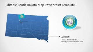
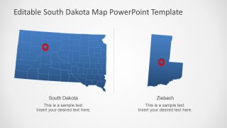
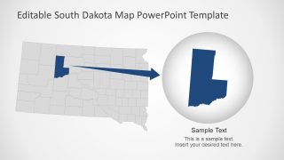
The South Dakota US State PowerPoint Map also provides two slides highlighting counties. These slides give an idea of how you can create similar slides of any county by simply resizing PowerPoint shapes. Moreover, you can apply animations on the location markers, flag, or text placeholders to create engaging content.
