Sint Maarten PowerPoint Map
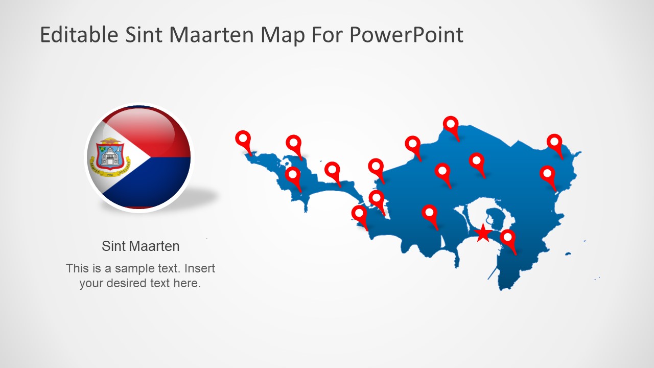
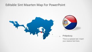
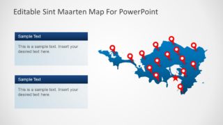
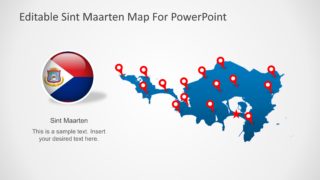
The Sint Maarten PowerPoint Map is a geographical presentation in SlideModel Map collection. It is a silhouette PowerPoint map design contain high-resolution graphics. These graphics enable users to customize maps by changing colors, resizing shapes, and adding multiple effects. Because these maps and vector PowerPoint shapes and modifications do not affect image quality of presentation. Therefore, it is an ideal business and academic PowerPoint to describe regional concepts. For example, display geographic importance of Sint Maarten in an educational PowerPoint. Or, use the outline map of Sint Maarten to display tourist attractions, business opportunities, demographics or economic statistics.
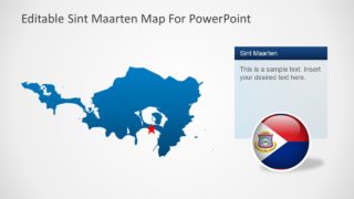
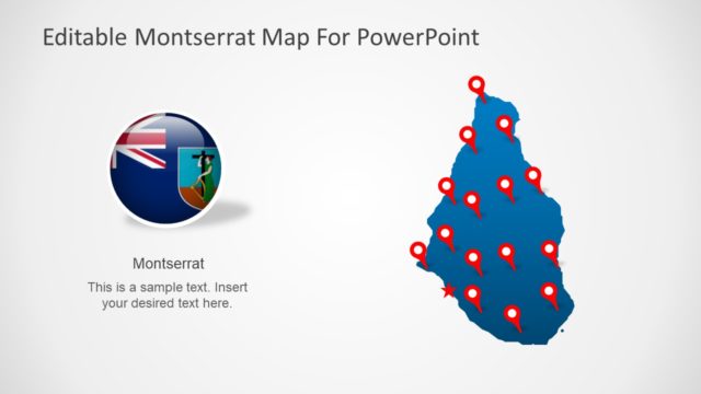
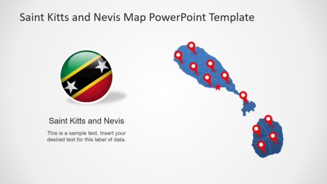
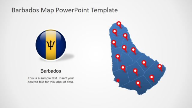
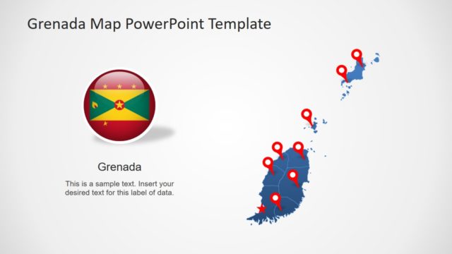
It is an editable Map template of Sint Maarten that provides 7 slides of blue and gray silhouette maps. However, users can easy change these colors from solid fill and outline fill option in format menu of PowerPoint. These slides further include clipart icons such as GPS location marker, flag shape, and text placeholders. These PowerPoint objects will help users to customize map PowerPoint template according to their presentation topics.
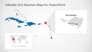
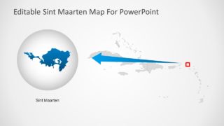
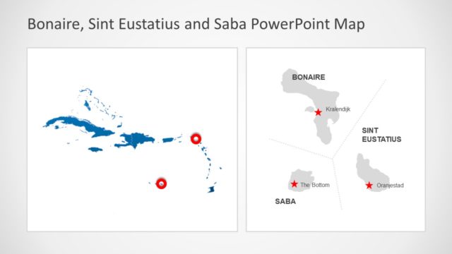
The Sint Maarten PowerPoint Map is a latest slide deck in Map templates of Caribbean Sea. The SlideModel catalog provides a wide collection of maps in North America. Sint Maarten is located in northeastern Caribbean Sea and also knowns as Saint-Martin.
