Rhode Island US State PowerPoint Map
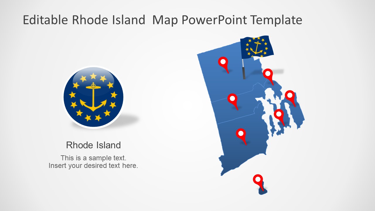
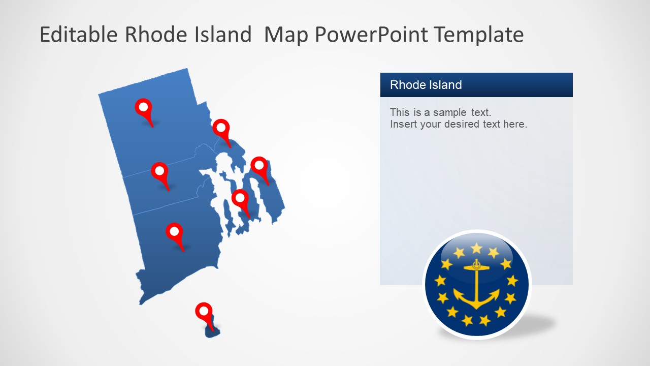
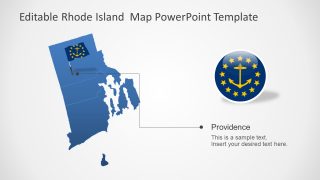
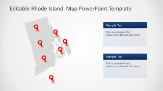
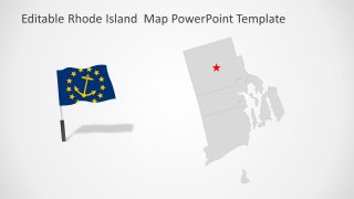
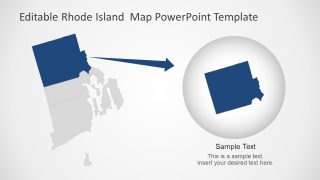
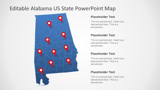
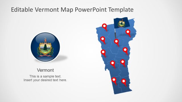
The Rhode Island US State PowerPoint Map is a collection of high-resolution maps for the state. There are 7 variations of PowerPoint maps that you can use to visualize the geographic region of Rhode Island. All these maps are fully editable in PowerPoint. It means are you can easily edit the colors and shapes by using the formatting menu of Microsoft PowerPoint. For example, change the colors of silhouette maps or resize the map shapes. These editable map templates also include supporting contents such as location markers and clip art icons for the Rhode Island flag.
Rhode Island is one of the 50 US states it is famous for its Sandy shores and seaside towns. It shares borders with Massachusetts on the East and Connecticut on the west. The PowerPoint map templates offer various editable maps for the US States. You can download these templates to display surveys, demographics, or political opinions about different states.
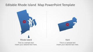
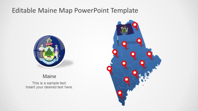
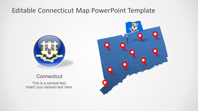
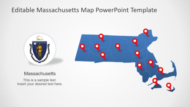
The Rhode Island US State PowerPoint Map contains two color formats for outline maps. You can change the colors of both counties and their borders. The location markers and flag icons will help navigate to the specific location on the map. In this way, you can prepare an engaging presentation to demonstrate Rhode Island’s regional concepts. However, these editable maps could be used for a range of business, advertisement, and educational presentations.
