Pennsylvania State PowerPoint Map
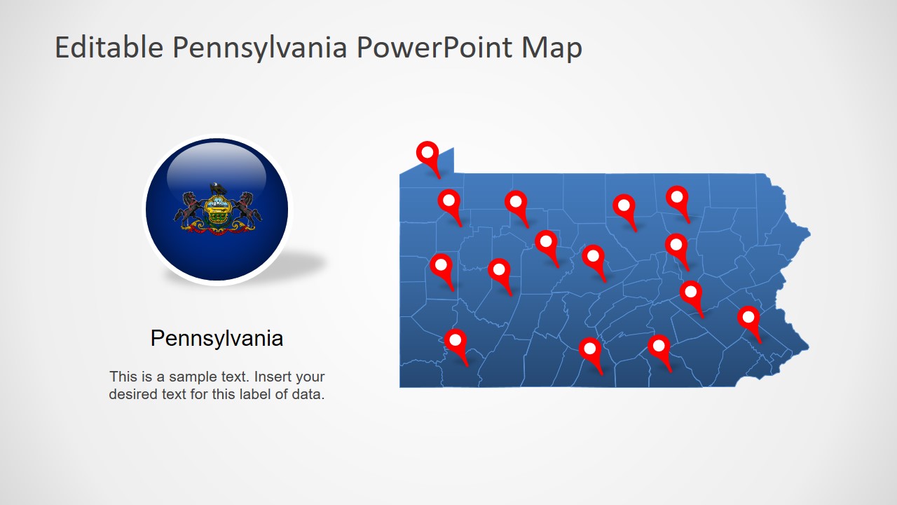
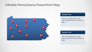
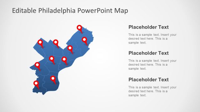
The Pennsylvania State PowerPoint Map is an editable layout for geographical mapping of US State. It presents an editable outline map of all individual counties of Pennsylvania. It will help display the virtual location of marketing segments, population, business opportunities, and more. Therefore, professionals can use these map slides to present multiple regional discussions. This map of Pennsylvania is an addition to US State maps like New York, California, and Philadelphia. These maps of American states are resourceful for presenting nationwide business and marketing campaigns.
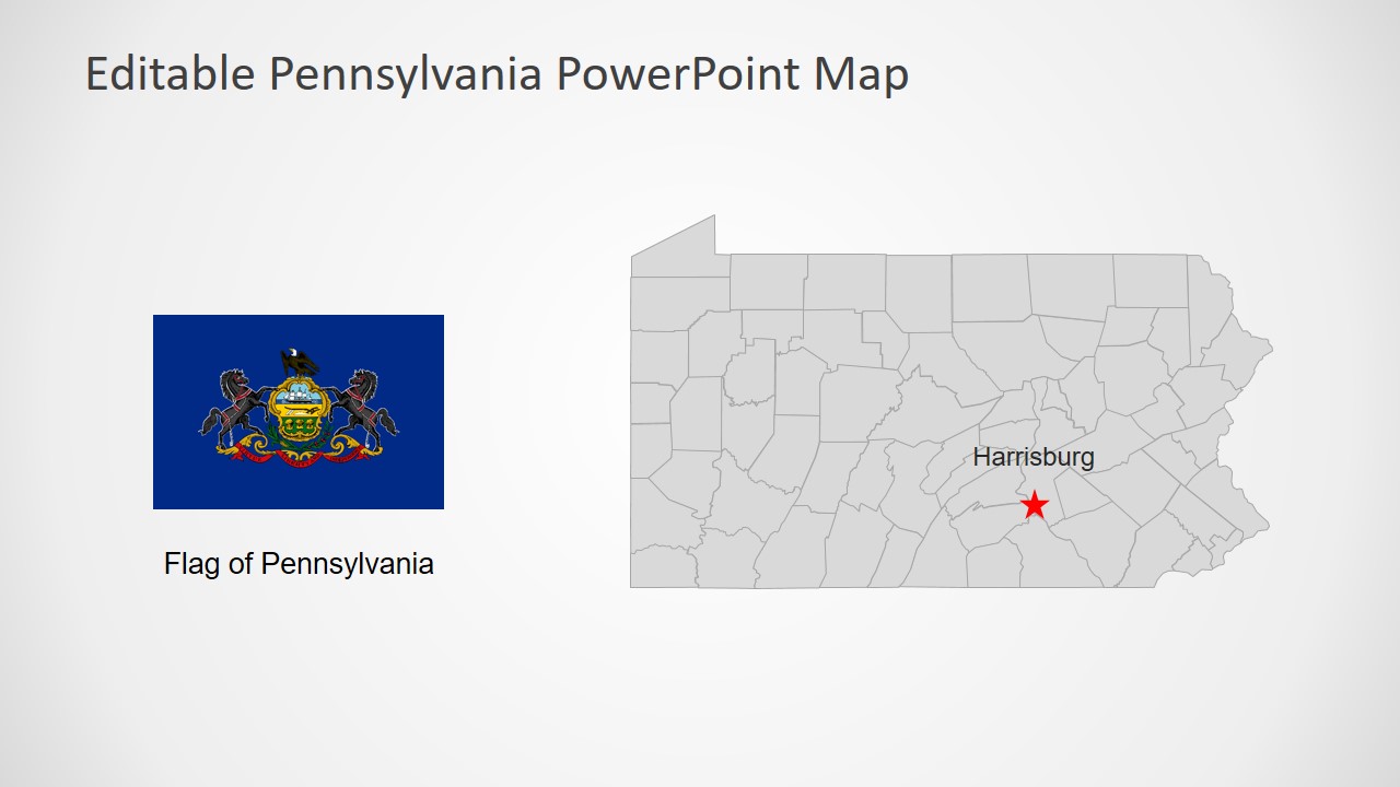
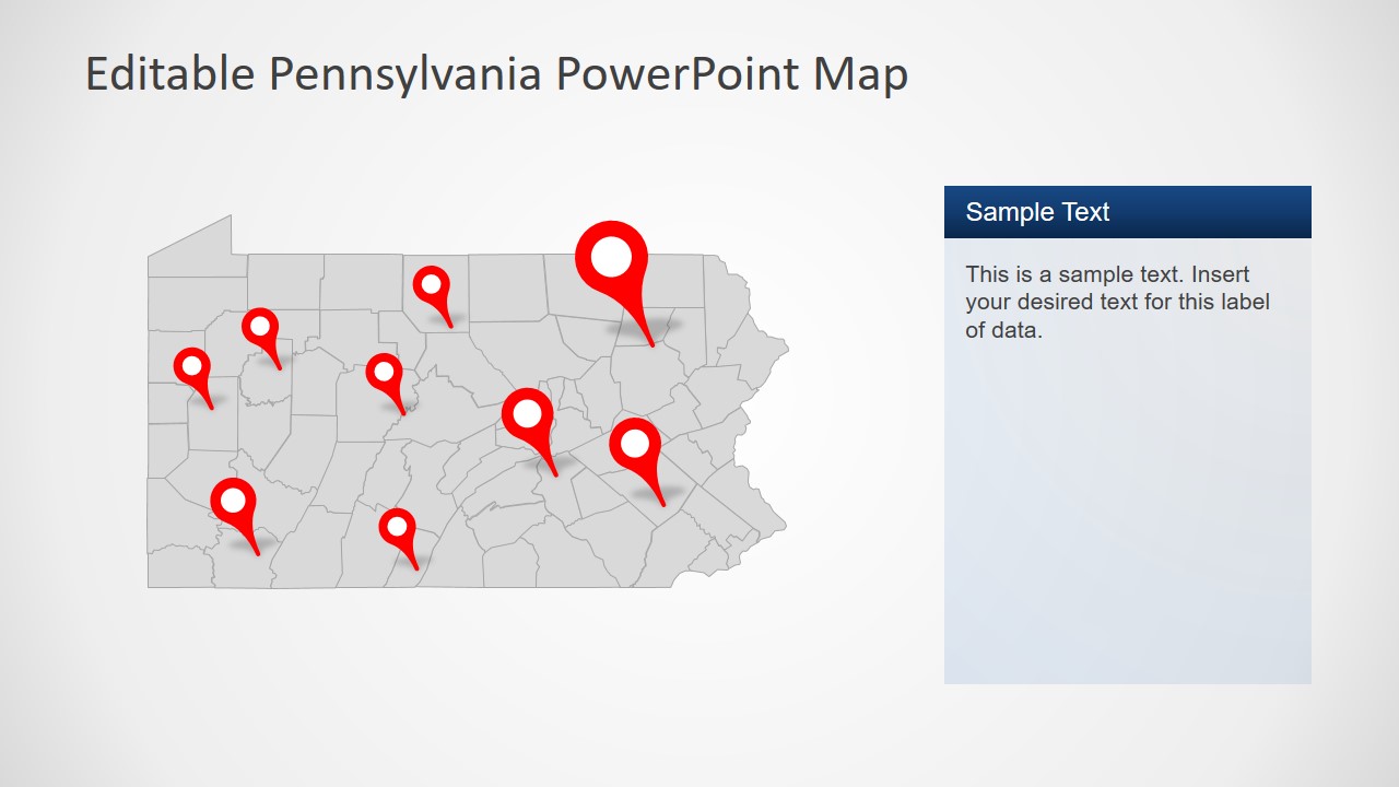
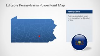
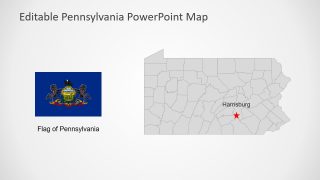
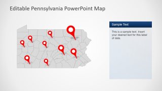
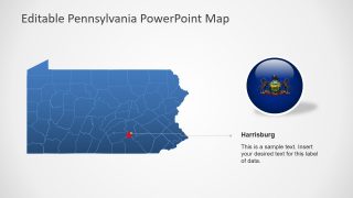
Initially, Pennsylvania State PowerPoint Map shows blue and gray color map which is a standard SlideModel design for geographic maps. However, it enables users to change color fills and outlines from drawing format menu. This template includes various clipart icons to enhance visuals of map presentation. These icons include three location marker styles, images of the flag in both rectangular and circle shape, and text placeholders. Here, text placeholders are useful for adding important information about Pennsylvania State topics.
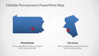
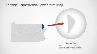
The PowerPoint map template of Pennsylvania offers two slides of highlighting counties. These counties depict a zoom-in feature of PowerPoint. These similar slide layouts could be used to zoom on other counties of Pennsylvania. There are 67 editable silhouette units for counties along with geo-location pins for labeling areas. Moreover, users can add colors as statistical data representation of each county in Pennsylvania State PowerPoint map.
