Nebraska US State PowerPoint Map
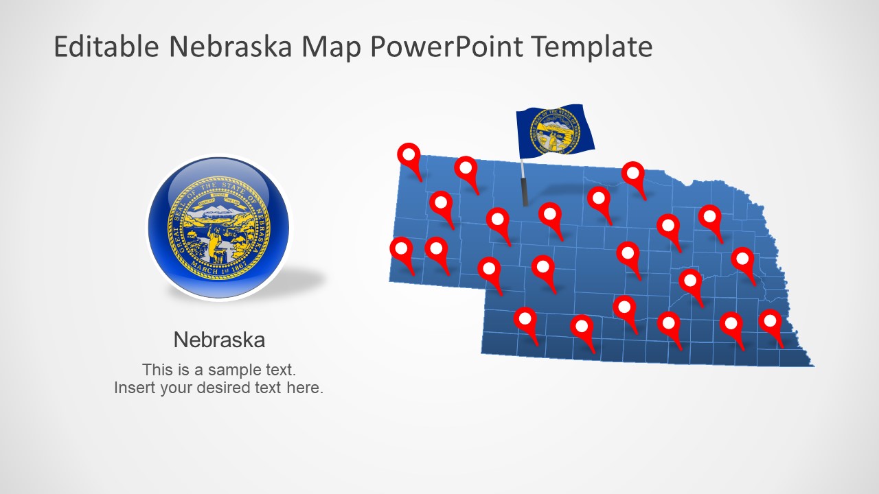
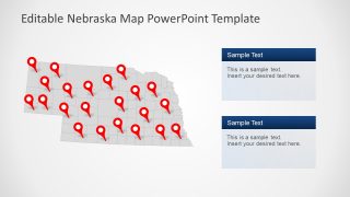
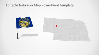
The Nebraska US State PowerPoint Map presents editable political maps of Nebraska. This presentation contains 7 slides of editable map variations to choose from. Each map template combines a set of map related elements such as location markers, flag shapes, and text placeholders. These PowerPoint objects are helpful for communicating presentation concepts by engaging the audience in its graphic contents. For example, use the location markers as a navigational tool to focus on certain regions. Similarly, the flag of Nebraska could be used in a discussion about US State governance.
Nebraska is one of 50 states of the United States of America. It shares borders with the State of South Dakota and North Dakota to the north. On the East of Nebraska is the state of Iowa and Missouri and Kansas on the south. The PowerPoint map templates include editable maps for these US states. You can download these state map templates to discuss regional concepts.
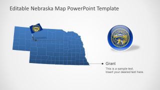
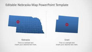
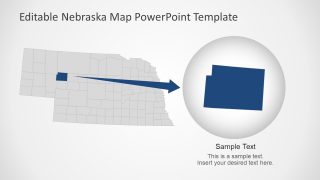
The Nebraska US State PowerPoint Map is useful for promoting various matters of counties. The 7 PowerPoint templates of Nebraska contain outline maps for 93 counties. Further, the 2 slides of Nebraska map highlight counties. The slides could be used for a range of business and school topics such as natural geographic importance of Nebraska.
