Kansas US State PowerPoint Map
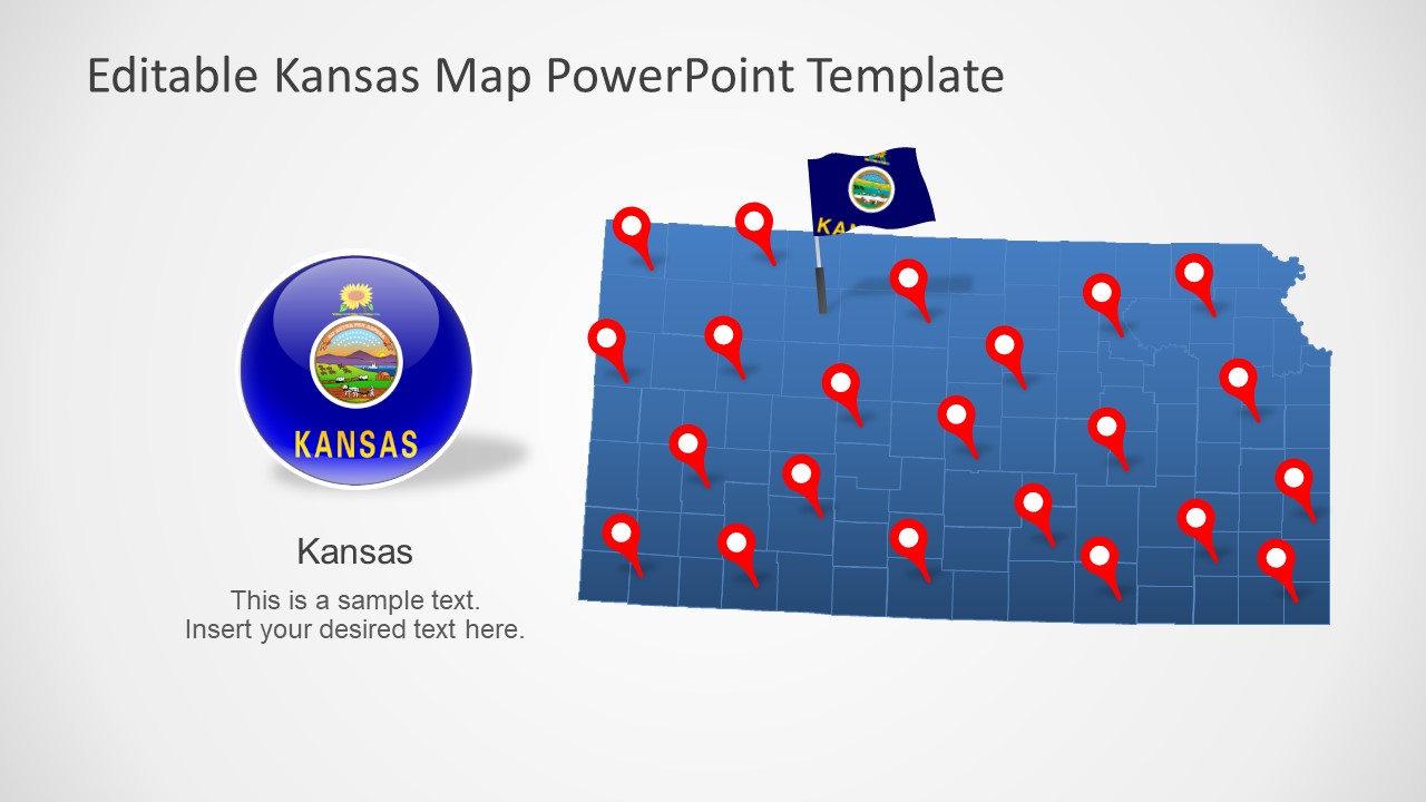
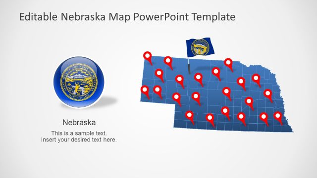
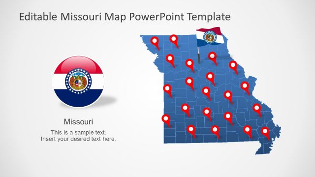
The Kansas US State PowerPoint Map is an editable set of silhouette maps outlining the State of Kansas. Kansas is located in Midwest and shares borders with Nebraska, Missouri, Oklahoma, and Colorado. It is named after the Kansan River that runs through the state. Kansas (KS) State is famous for its historic places such as ghost towns, historic landmarks, and national parks. PowerPoint map templates of Kansas could be used to visualize the geographic region of these historic areas. Similarly, these maps could assist with the presentations of demography, culture, economy, infrastructure, education, and more.
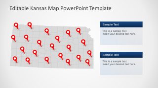
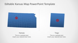
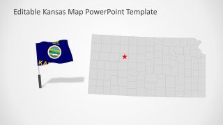
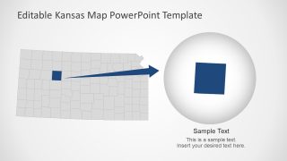
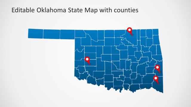
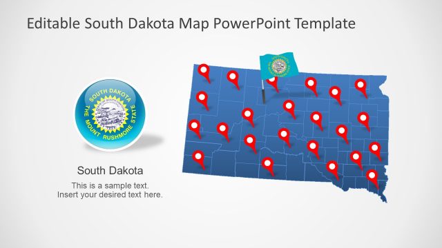
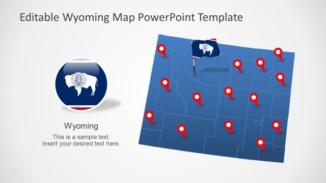
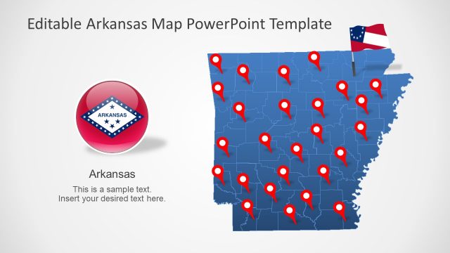
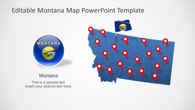
Kansas US State PowerPoint Map templates include 7 slides of blue and gray outline maps. These slides display political outlines of 105 Kansan counties along with supporting contents. For example, flat vector icons of the Kansas State flag and location markers. This slide deck provides a format of highlighting counties and important regions by creating a shape-zoom option. You can customize these editable map slides to highlight different counties or mark important locations. Moreover, each editable county segment will help change the colors to display regional statistics in an engaging layout.
The Kansas PowerPoint maps will let users demonstrate various regions of Kansas according to presentation topic. It could help promote regional concepts such as tourism, culture, history, and business opportunities. A map of the US State will help engage the audience by labeling the geographic areas like capital or major cities.
