Hawaii US State PowerPoint Map
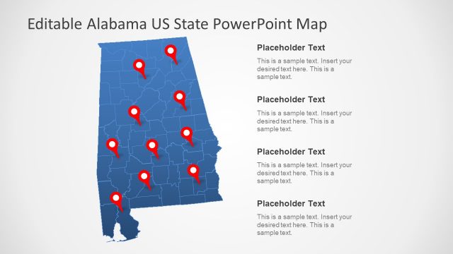
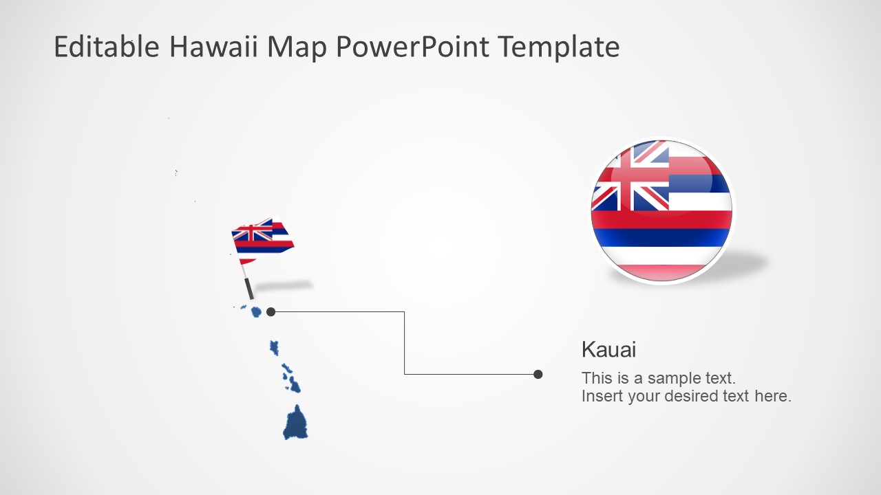
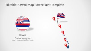
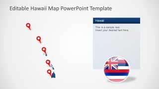
The Hawaii US State PowerPoint Map offers seven slides for the 50th state of the USA. These slides present blue and gray silhouette maps of Hawaii with editable components. The users can change colors, location pointers, flat clipart icons of location markers to complement business and personal presentations. The outline maps of Hawaii label islands and cities of the State. The PowerPoint templates could be used to represent regional concepts such as tourism, culture, history, and business opportunities.
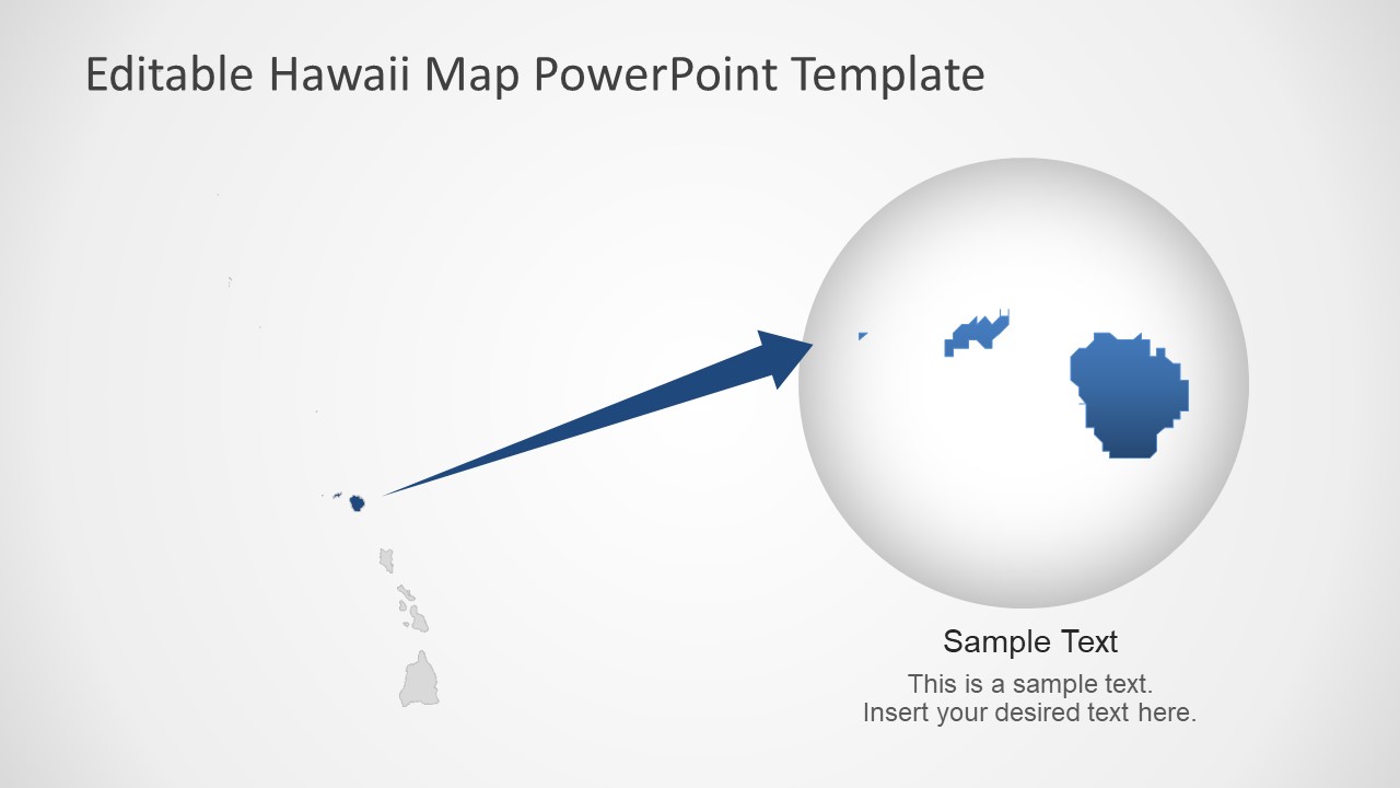
The State of Hawaii is located in Oceania composed of islands. This State is located outside of North America with 137 total islands. The capital city of Hawaii is Honolulu and 8 main islands including Maui, Oahu, Kahoolawe, Lanai, Molokai, Kauai, and Niihau. Whenever the topic of Hawaii comes up, the image of a tropical region and beautiful islands comes to mind. The Hawaii maps can help visualize the geographical region of the State with editable Island shapes.
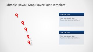
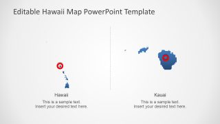
The Hawaii US State PowerPoint Map is a collection of 7 slides of blue and gray silhouette maps. The users can change the colors of these maps or resize island shapes. In this way, they can focus on one island at a time. The location markers will let the users highlight specific locations according to presentation topic.


You must be logged in to download this file.
DOWNLOAD- Category
- Maps
- Rating

 Loading...
- Size
- 16x9
- Item ID
- 13208-01
- Colors
Subscribe today and get immediate
access to download our PowerPoint templates.