Slide 5 of 5 from Europe Map PowerPoint Template
1170-europe-map-wide-5
Europe Map Presentation Slide
- Map
- Country Map
- Context Slide
- 16:9
- 100% Editable
The Europe Map with Callouts slide from the Europe Map PowerPoint Template offers a clear geographic context for regional analysis and location presentations. This slide includes editable shapes and vector icons to highlight key areas on the map, making it suitable for business presentations, educational maps, or travel planning. Its design supports clear communication of location-specific data within a professional slide deck.
What’s on This Slide
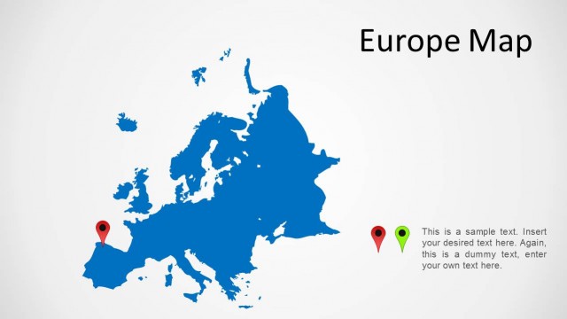
The slide features a map of Europe in dark gray, positioned centrally. Two GPS marker icons are placed on the map, one green at the southwest and one red at the southeast. Text placeholders are located to the right of the map, aligned vertically, with a title at the top and two body text areas below. The title is bold and large, while the body text areas are smaller, indicating where users can input their content. The background is a light gradient, enhancing the map's visibility.
How to Use It
This layout serves as a geographic reference for presentations discussing European regions or locations. It fits well in a sequence that introduces regional data or analysis, following a problem statement or overview slide. This structure is useful for business meetings, educational contexts, or travel planning discussions where specific locations need emphasis and accompanying explanations.
Text Placeholders & Capacity
Keep your copy within these limits so it fits without resizing. Body slots can hold roughly 15-20 words each.
| Placeholder | Count | Max characters (approx.) |
|---|---|---|
| Slide title | 1 | 30 |
| Item body | 2 | 80 |
Slide Keywords
Download unlimited PowerPoint templates, charts and graphics for your presentations with our annual plan.
DOWNLOADReturn to Europe Map PowerPoint Template.