Slide 2 of 5 from Europe Map PowerPoint Template
1170-europe-map-wide-2
Europe Map Presentation Slide
- Map
- Country Map
- Context Slide
- 16:9
- 100% Editable
The Europe Map with Markers slide from the Europe Map PowerPoint Template offers a clear geographic context using editable shapes and vector icons. This slide template is suitable for business presentations, travel planning discussions, or educational geography lessons requiring precise regional analysis. Its design supports highlighting key locations on a stylized map of Europe, making it a practical addition to slide decks focused on European markets or travel routes.
What’s on This Slide
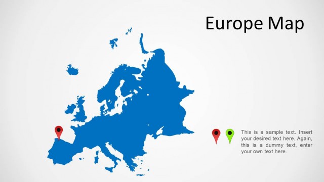
The slide features a stylized map of Europe in a bright blue color, occupying the left side. Two location markers are positioned on the map, one in red and one in green, indicating specific points. To the right, there is a text placeholder aligned vertically, allowing for two separate text entries. The title 'Europe Map' is prominently displayed in a large font at the top right. The background is a light gray, creating contrast with the blue map. The overall layout emphasizes the map and the markers as focal points.
How to Use It
This layout serves as a geographical representation, ideal for illustrating regional data or highlighting specific locations in Europe. It fits well in a presentation sequence following an introduction or overview slide, providing context for discussions on European markets, travel routes, or regional analysis. This format is useful for educators, analysts, or business professionals needing to present location-based information clearly and effectively.
Text Placeholders & Capacity
Keep your copy within these limits so it fits without resizing. Body slots can hold roughly 15-20 words each.
| Placeholder | Count | Max characters (approx.) |
|---|---|---|
| Slide title | 1 | 20 |
| Body paragraph | 2 | 100 |
Slide Keywords
Download unlimited PowerPoint templates, charts and graphics for your presentations with our annual plan.
DOWNLOADReturn to Europe Map PowerPoint Template.