Editable Uganda PowerPoint Map
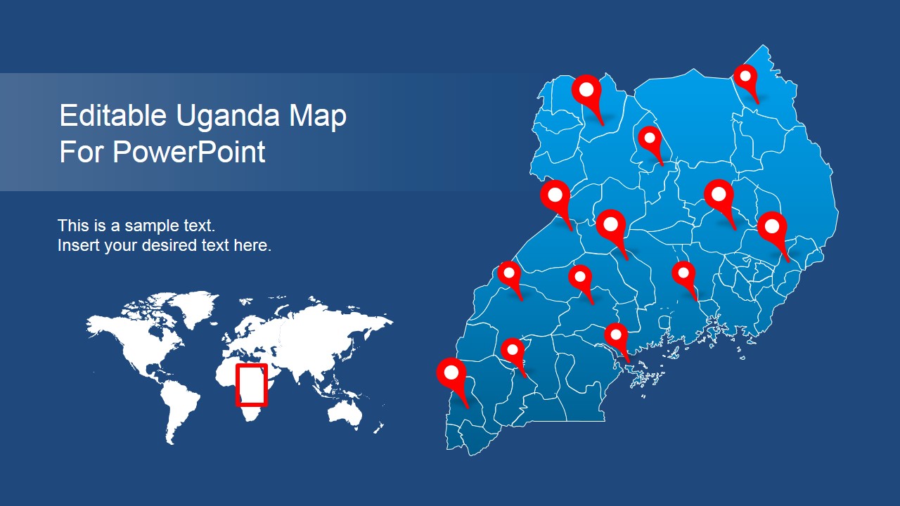
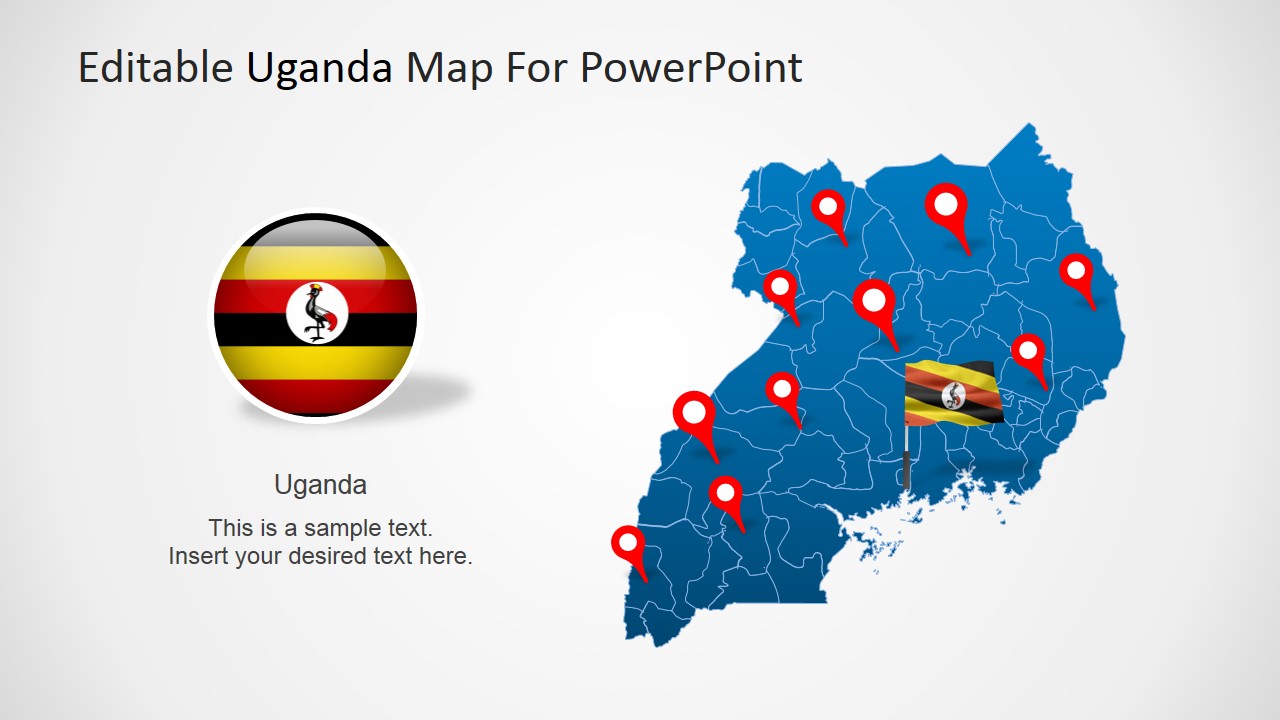
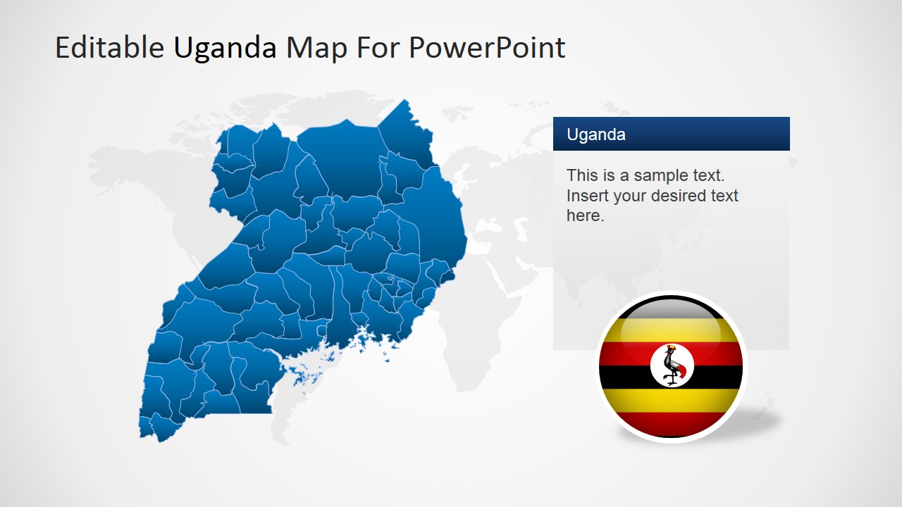
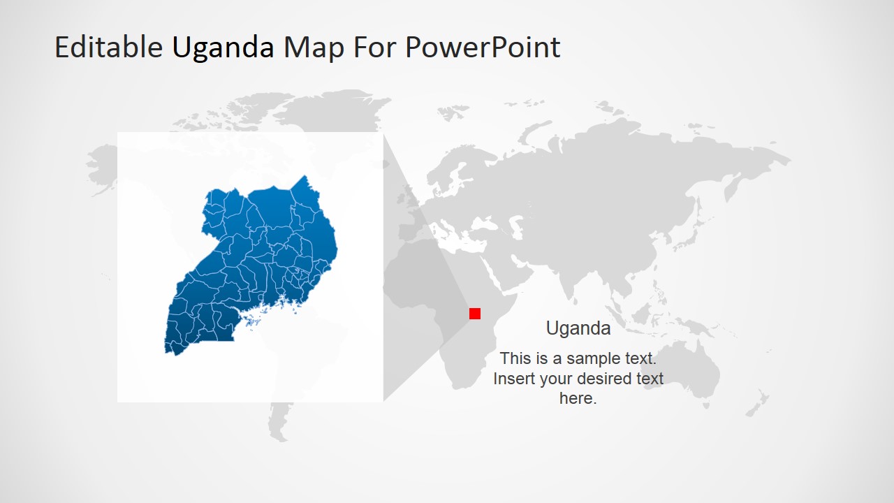
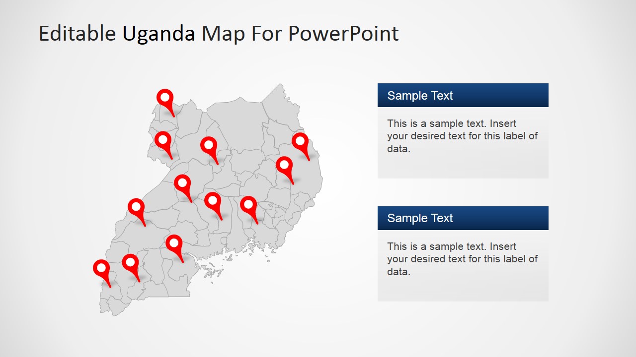
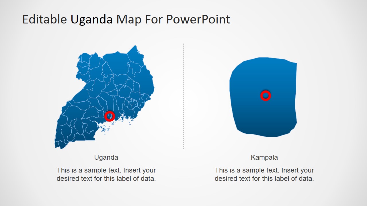
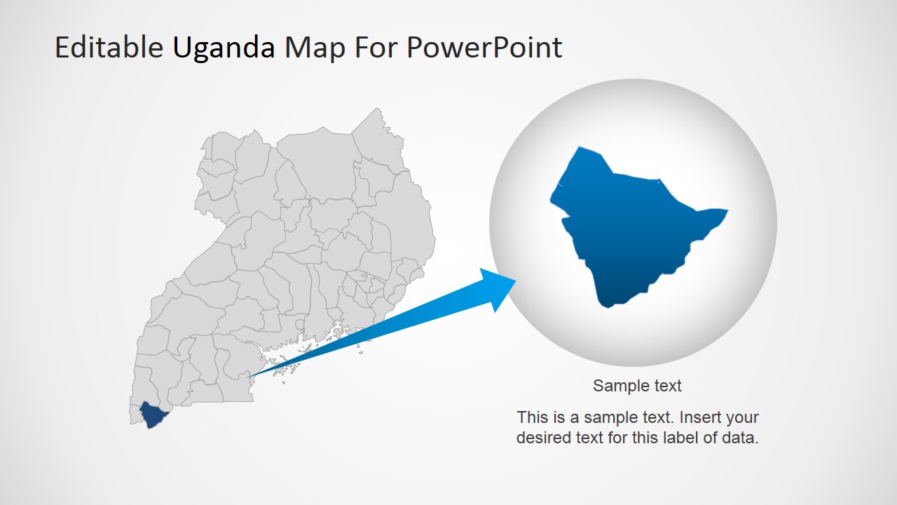
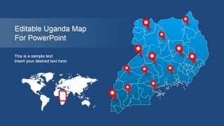
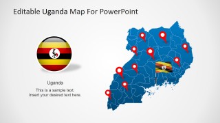
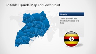
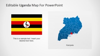
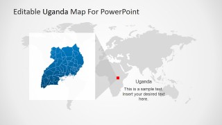
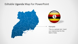
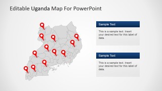
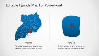
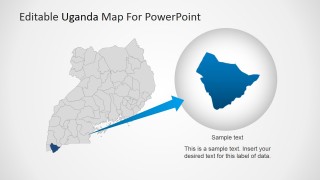
Editable Uganda PowerPoint Map – Create Professional PowerPoint presentations featuring the Republic of Uganda with the Editable Uganda PowerPoint Map. The PowerPoint Template contains 100% editable versions of the Republic of Uganda Political outline maps, created as a composite of PowerPoint shapes with the outline of each state. The user can ungroup the map and work with the individual states. Created as PowerPoint objects, each piece of the Uganda Map can be customized with the user’s preference and theme, without losing resolution or visual quality.
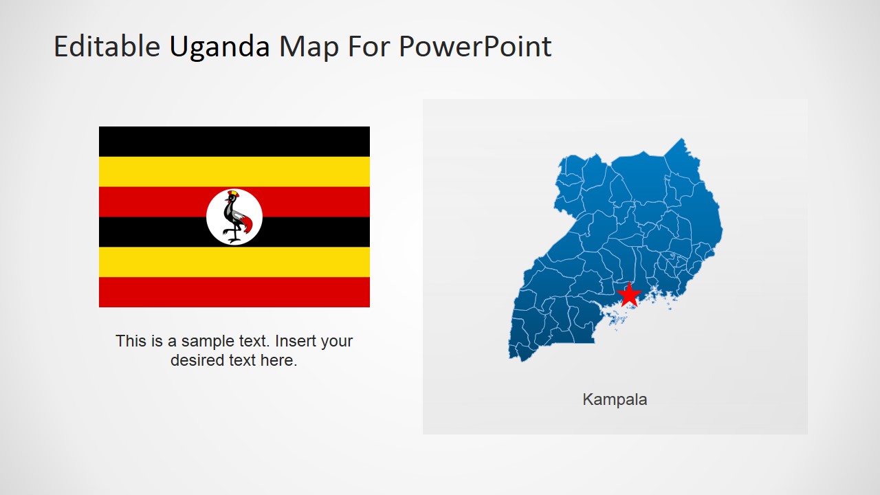
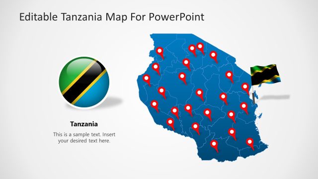
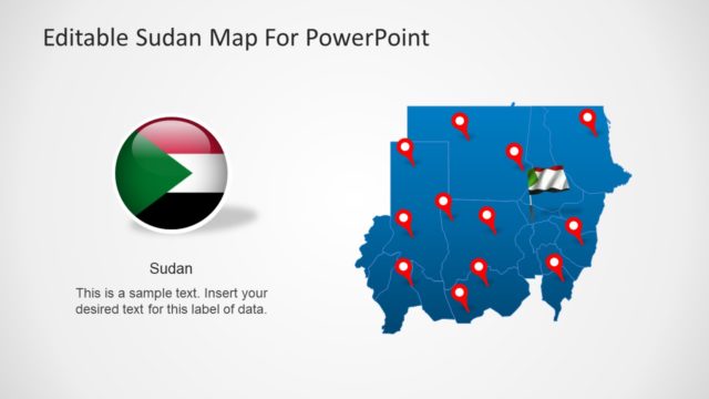
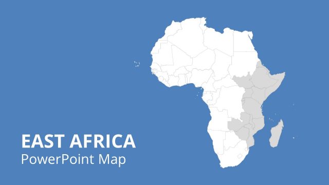
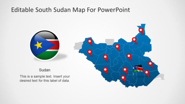
The Republic of Uganda, is located in East Africa. It borders with Kenya, South Sudan, Congo , Rwanda and Tanzania. Uganda is one of the three countries sharing the Lake of Victoria one of Africa’s great lakes. Uganda’s capital and most populous city is called Kampala. Kampala hosts the headquarters of the East African Development Bank and the national Uganda Local Governments Association.
Uganda is an equatorial country, but its climate is not regular due to its different in hights.
Western supported economic reforms produced solid growth and inflation decrease in the 1990s, and the discovery of oil and gas in the west of the country boosted exports. Uganda’s economy generates export income from coffee, tea, fish and other commodity products; it has substantial natural resources, including fertile soils, regular rainfall, and sizable mineral deposits of copper and cobalt. The country has largely untapped reserves of both crude oil and natural gas.
Create impressive PowerPoint Geography Presentations or Travel plans with the Editable Uganda PowerPoint Map. Impress your audiences with professional graphics that engage and leaves a durable visual message.
