Editable St Vincent and The Grenadines Map PowerPoint Template
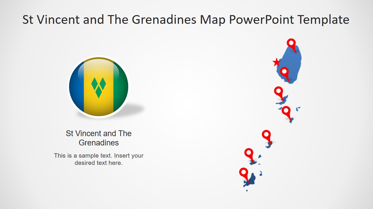
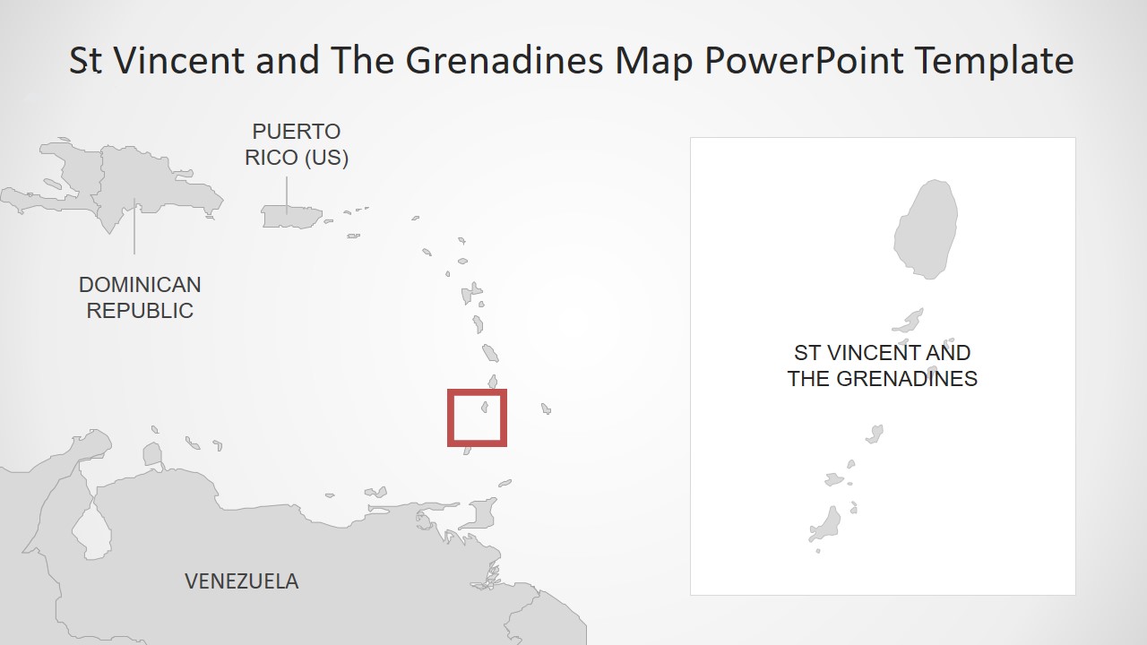
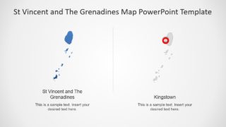
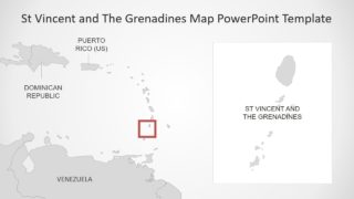
The Editable St Vincent and The Grenadines Map PowerPoint Template is an 8-slide presentation of Anglo-Caribbean country. It presents high-resolution vector maps to add creative and engaging visuals in a professional presentation. The PowerPoint map template of St Vincent is a collection of 8 editable map slides that include Grenadines close of Grenada. These maps are useful for discussing geographic and socio-economic situations of a country. For example, a presentation about inhabitant and unhabituated islands of St Vincent. Or, present development and growth of a nation with the help of editable PowerPoint maps.
St Vincent and the Grenadines are Caribbean island nations known for reef lines and yacht-filled harbors. Saint Vincent is a main island whereas, chain of 32 smaller islands including Bequia, Mustique, Canouan, and Mayreau. Therefore, the map presentation of St Vincent and Grenadines is a helpful slide deck to capture information about island country. Moreover, the featured maps template will optimize any business presentation such as market surveys.
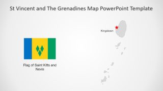
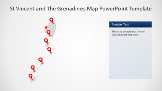
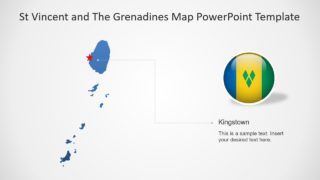
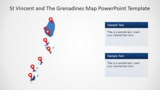
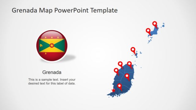
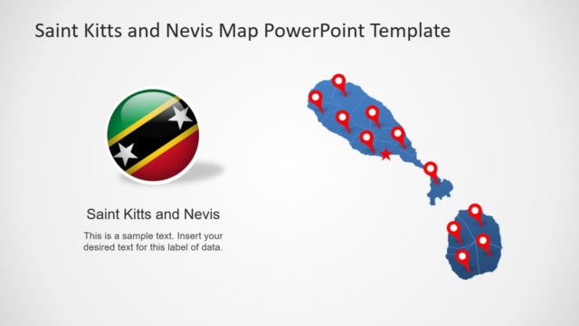
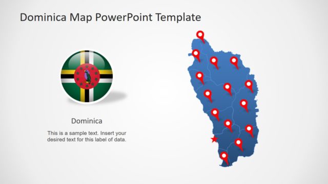
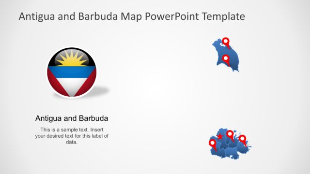
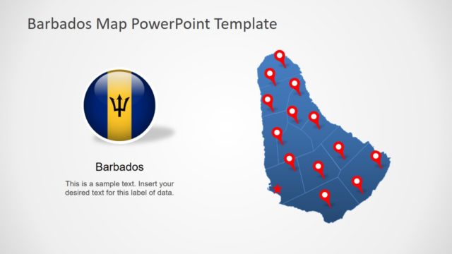
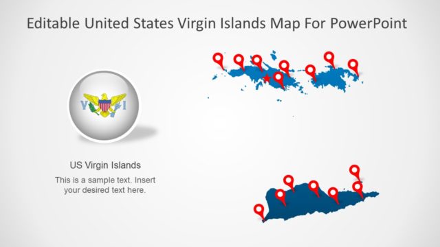
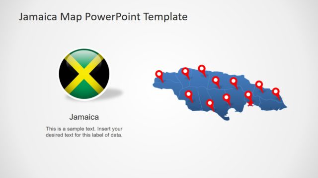
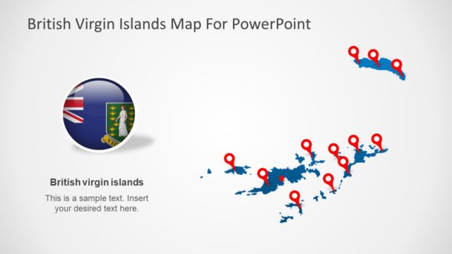
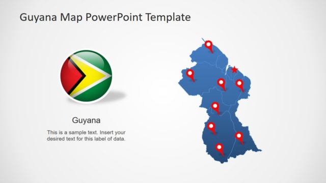
The Editable St Vincent and The Grenadines Map PowerPoint Template include flags and location markers. These location pins can help point and label different regions. Further, these icons are editable and could easily drag-and-drop to other areas. Although this template provides blue and gray editable maps. The users can change the colors of islands for an attractive presentation layout.
