Slide 1 of 8 from Editable St Vincent and The Grenadines Map PowerPoint Template
St Vincent Map and Flag PowerPoint
Editable St Vincent and The Grenadines Map Template
- Map
- Country Map
- Context Slide
- 16:9
- 100% Editable
What’s on This Slide
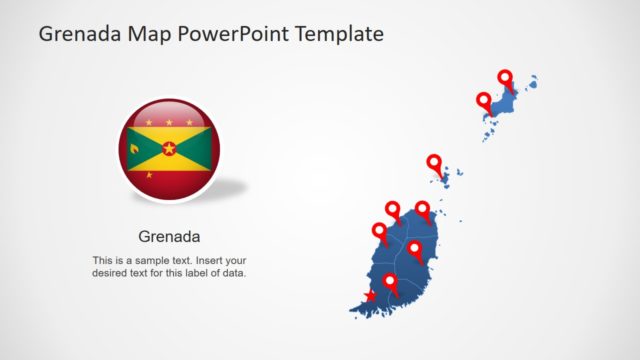
The layout features a map of St Vincent and The Grenadines on the right side, with several red location markers indicating specific points. To the left, there is a circular emblem displaying the national flag. The title is prominently placed at the top center, while a text placeholder is located below the emblem, aligned to the left. The overall composition is balanced, with the map and markers creating a visual focus on the right and the emblem and title providing context on the left. The background is light, enhancing visibility.
How to Use It
This layout serves as a geographic representation, ideal for showcasing locations within St Vincent and The Grenadines. It fits well in a presentation sequence that introduces the country or highlights specific sites. This structure is useful for tourism presentations, educational content, or political discussions regarding the region. It allows for clear identification of key locations, making it suitable for business meetings or travel planning discussions.
Text Placeholders & Capacity
Keep your copy within these limits so it fits without resizing. Text slots can accommodate a total of around 110 characters comfortably.
| Placeholder | Count | Max characters (approx.) |
|---|---|---|
| Slide title | 1 | 30 |
| Item heading | 1 | 30 |
| Item body | 1 | 50 |
Slide Keywords
Download unlimited PowerPoint templates, charts and graphics for your presentations with our annual plan.
DOWNLOADReturn to Editable St Vincent and The Grenadines Map PowerPoint Template.