Editable Saint Kitts and Nevis Map PowerPoint Template
The Editable Saint Kitts and Nevis Map PowerPoint Template is a silhouette slide layout for graphic presentations. It is an outline PowerPoint map template that defines territories to communicate regional concepts more effectively. Therefore, it is an ideal tool for demonstrating geostrategic location and demographic surveys. However, the flat color silhouette maps can turn into an attractive tourism presentation. Further, it is an incredible Political map template for Federation of Saint Kitts and Nevis to demonstrate public agendas at global platforms. Because silhouette map slides look professional during organizational meetings.
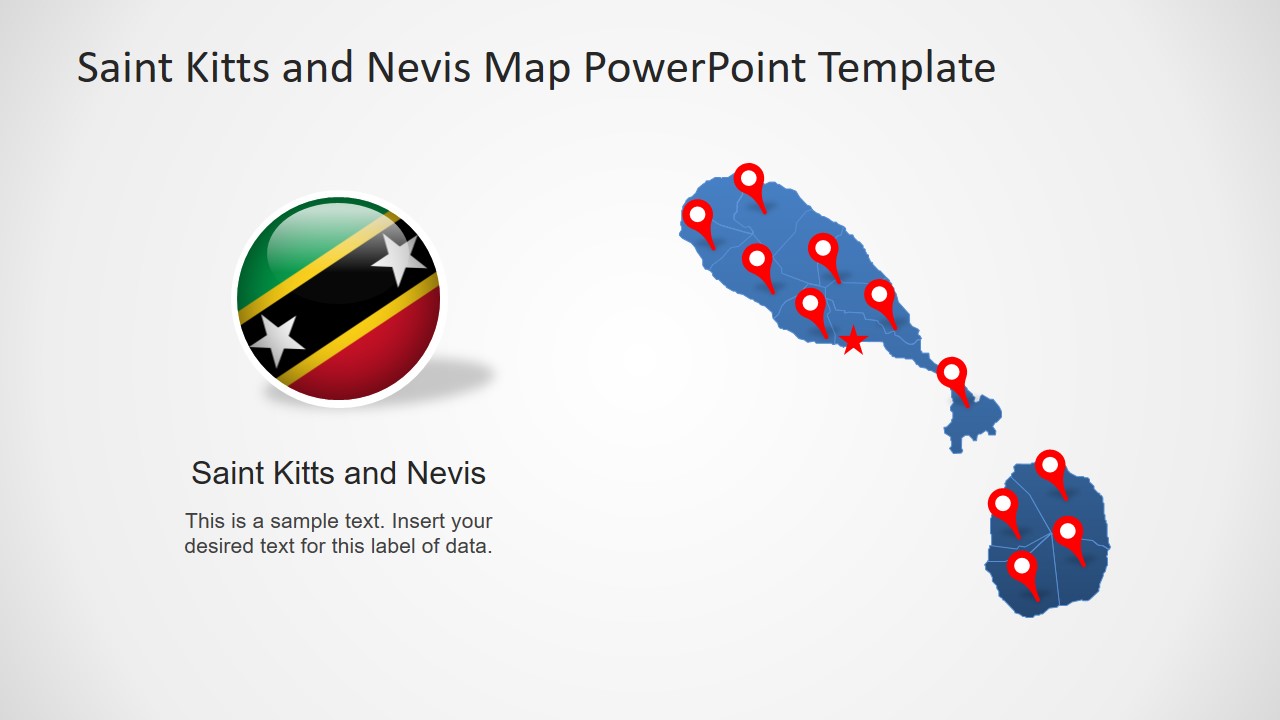
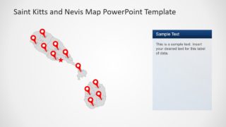
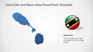
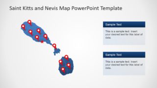
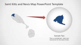
The Federation of Saint Kitts and Nevis is also known as Federation of Saint Christopher and Nevis. It is a dual island country between Atlantic and Caribbean Sea. The PowerPoint map template shows two island shapes with outlines detailing all parishes of country. While star shape location marker pin-points the capital city Basseterre.
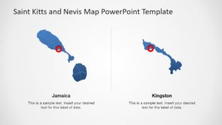
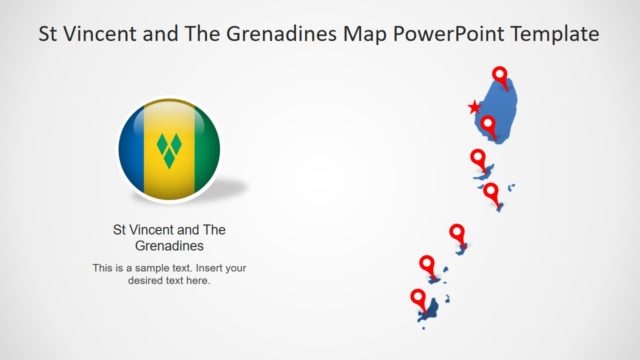
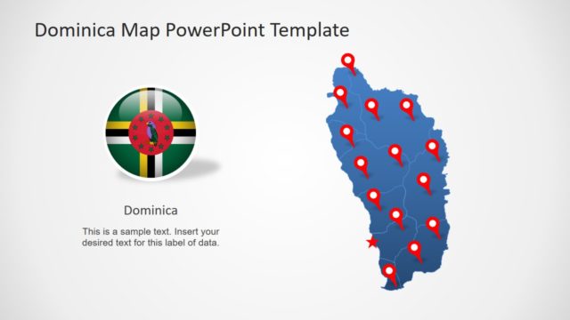
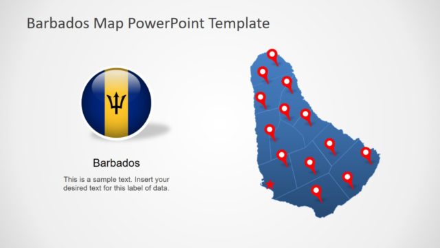
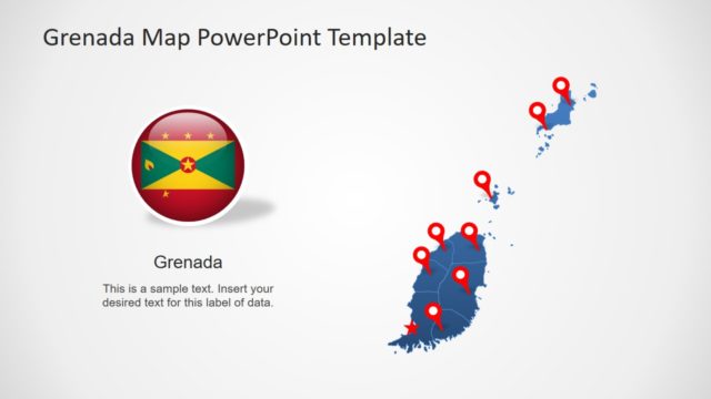
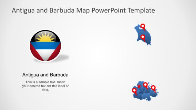
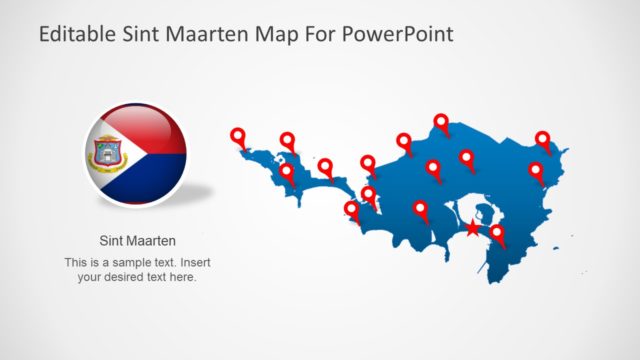
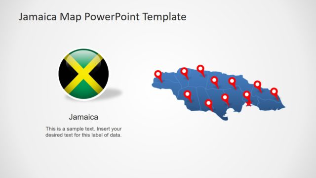
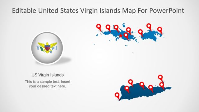
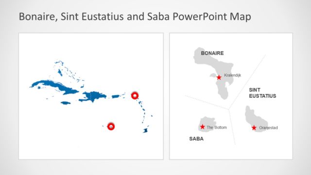
The Editable Saint Kitts and Bevis Map PowerPoint Template contain 8 slides of gray and blue silhouette map. These are individual silhouette shapes i.e. parishes connected into 2 island map design. Therefore, users can customize map by editing separate parishes. For example, change colors, gradient effects, apply animations and more. Moreover, the GPS location markers and country flag clipart icons are useful for labeling regions. Whereas, the text placeholders let users enter important textual content.
