Editable Norway Map Template for PowerPoint
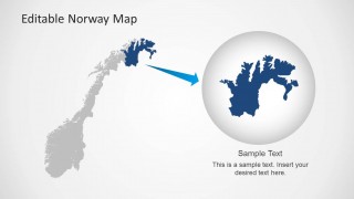
The Editable Norway Map Template for PowerPoint provides a creative medium for the presentation of the country and its features. The slides are created with a blue color scheme that can be edited using PowerPoint Theme properties.
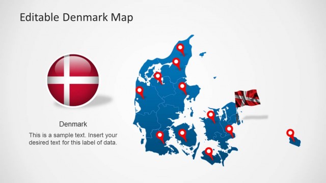
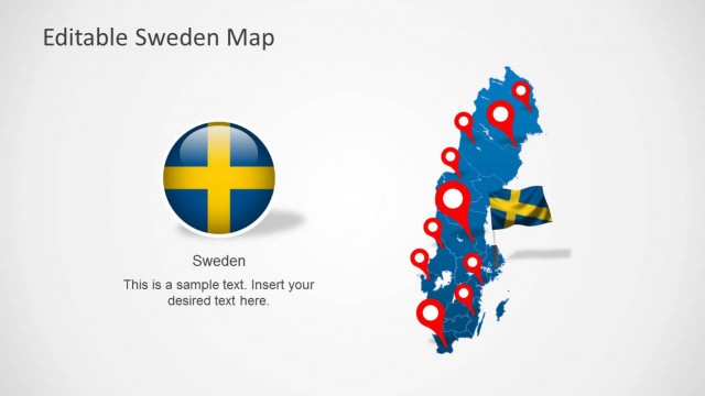
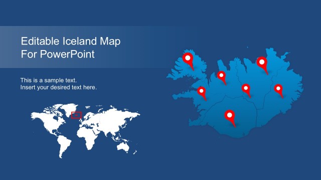
The PowerPoint Map template is 100% editable. Each map is created as a composite of individual states and regions, allowing the user to ungroup the shapes and work with each object individually.
Norway, officially known as the Kingdom of Norway is a sovereign country and unitary monarchy located in Europe. Norway is known to to be one of the most developed democracies in the world. The country borders with Sweden at the east, Finland and Russia to the north, and Denmark to the South, separated by the Skagerrak Strait. Norway has a coastline border with the Atlantic Ocean.
The economy of Norway is considered a mixed economy. With a capitalist system and a welfare state. It exercises a free market economy with a high stake of the government in certain key sectors. Public healthcare is free. The state income derived from natural resources is mainly derived of the oil production. Norway is one of the larges world producers of oil and natural gas.
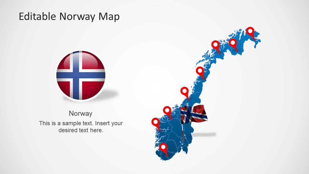
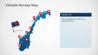
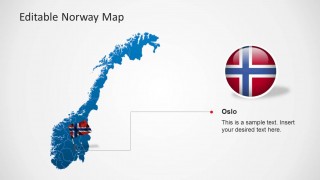
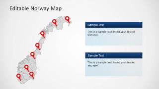
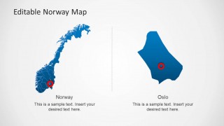
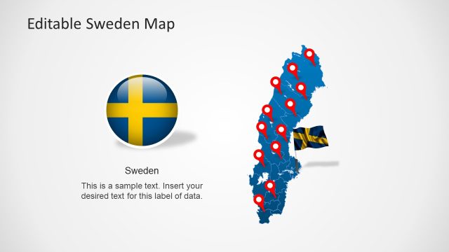
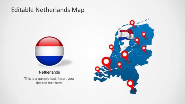
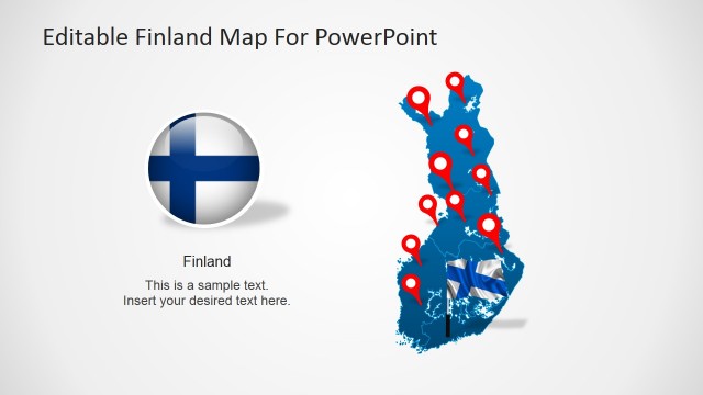
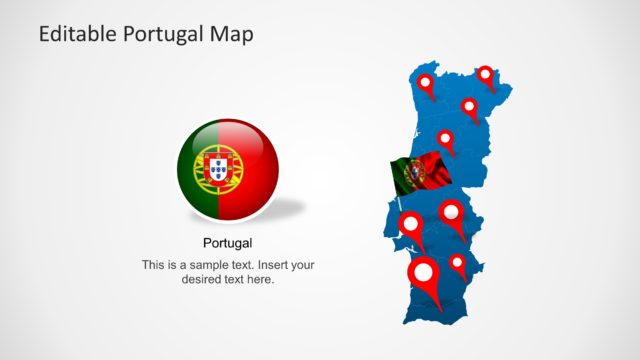
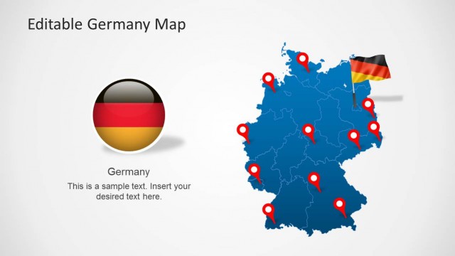
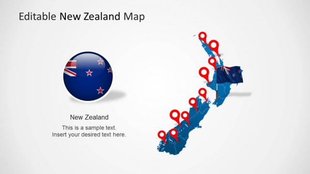
The Editable Norway Map Template for PowerPoint provides several map layouts, ranging from political outlines map, to decorated versions with GPS location markers and flag icons. Create your business market plans or trip travel route with the flexibility of a simple set of shapes.
Impress a professional audience using the Editable Norway Map Template for PowerPoint. Use the creative slide designs to generate a presentation that is both informative and visually appealing. The presenter can edit the position or arrangement of the PowerPoint objects depending on his needs.
