Editable Fiji Map for PowerPoint
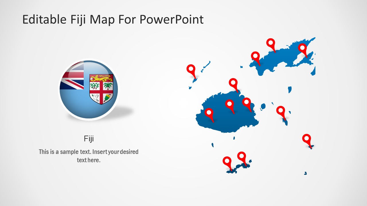
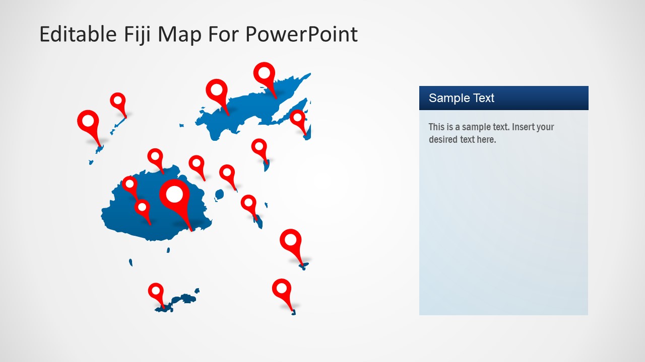
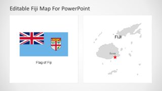
The Editable Fiji Map for PowerPoint is a fully customizable layout for island country. The template provides a collection of editable silhouette graphics that shows geographic map of Fiji. Fiji Islands comprise 332 independent islands situated in South Pacific Ocean. These islands are surrounded by other islands of New Zealand and France including Tonga, Samoa, Tuvalu. The two major islands of Fiji are Viti Levu and Vanua Levu that are highlighted in PowerPoint maps. The county is known for its tourism and sugar-cane industry. Therefore, the PowerPoint map template of Fiji could help professionals to discuss business opportunities.
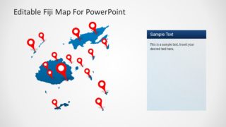
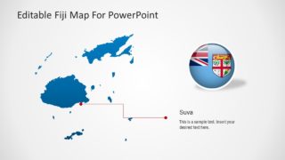
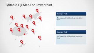
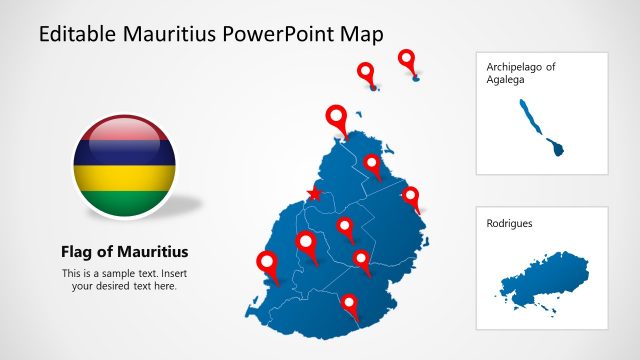
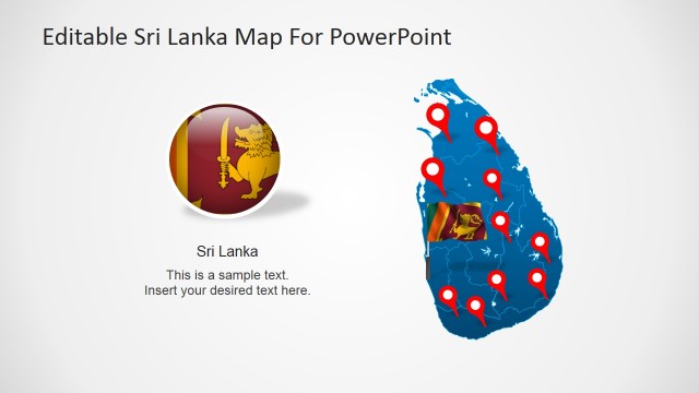
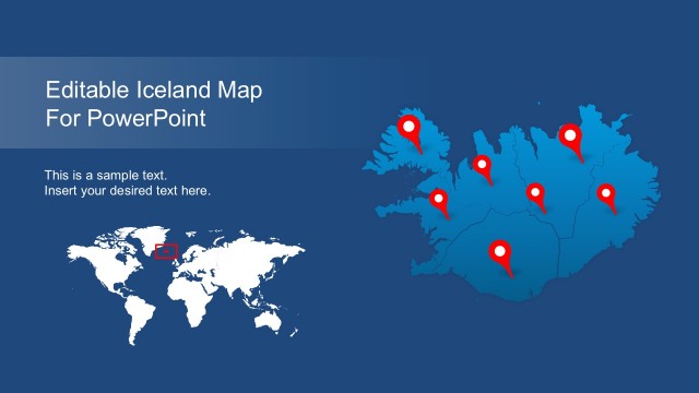
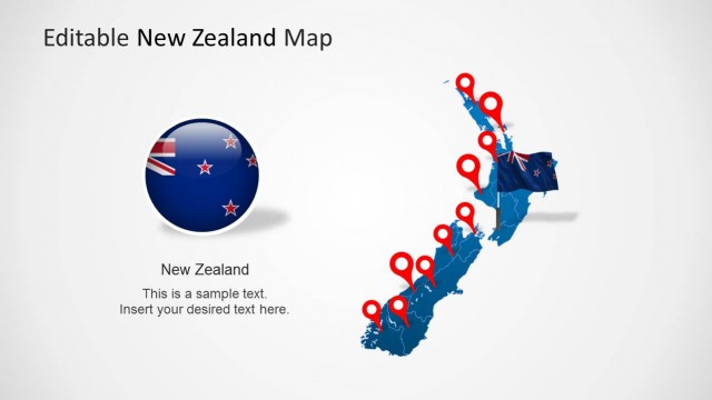
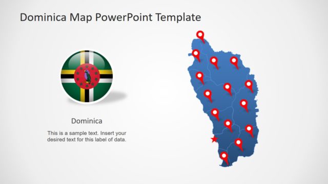
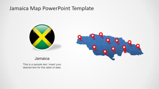
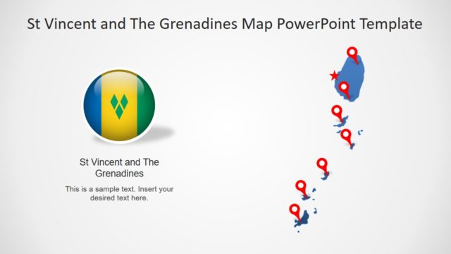
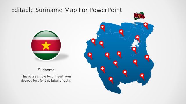
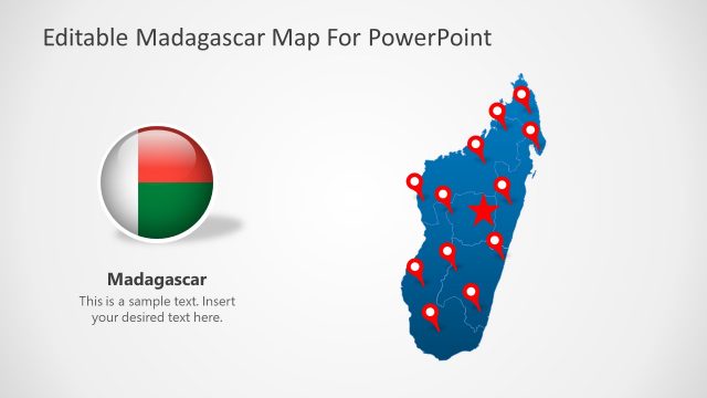
The map of Fiji in PowerPoint contain 7 slide versions of geographic region. These slides include a high-quality vector silhouette of maps that are fully customizable. The users can change colors, apply gradients, 3D effects, animations, resize or do more to personalize maps. Although the template initially provides blue and gray color maps as standard layout. But users can add multiple colors to highlight different areas i.e. color coordinate individual island. The slides further include GPS location markers and flag clipart to mark specific locations and support textual content.
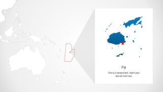
The Editable Fiji Map for PowerPoint could be used to discuss Island’s demographics since it is a diverse country. The users can add more elements to map template to engage audience in attractive geographical layouts. The last two slides of Fiji map PowerPoint, however, contain two zoom versions of country. For example, Fiji as a part of South Pacific Ocean and location marker on Fiji’s capital Suva.
