Editable Croatia Map PowerPoint Slide
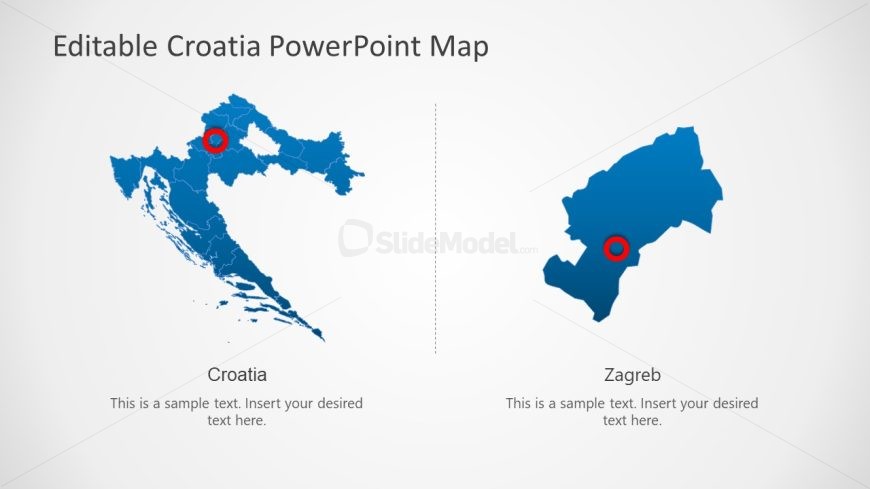
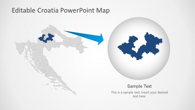
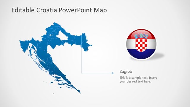
The image depicts a PowerPoint slide titled “Editable Croatia PowerPoint Map,” which presents two separate maps of Croatia. The map on the left shows the entire country in blue with a red circle marking a significant location, presumably the capital city of Zagreb. The map on the right zooms in on a specific region, also highlighted in blue and marked with a red circle at the same point.
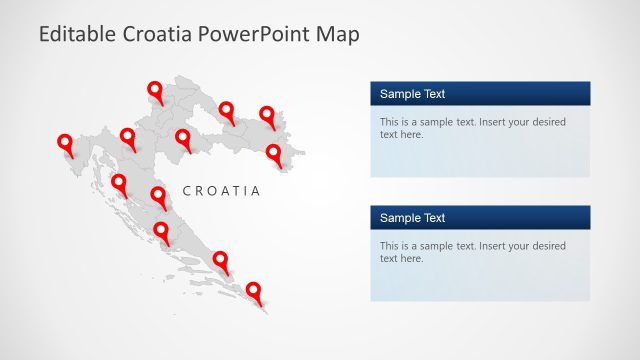
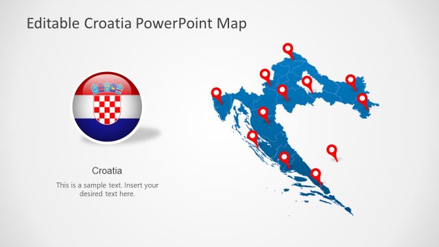
Below each map is a text placeholder labeled “Croatia” on the left and “Zagreb” on the right. Accompanying each label is the instruction “This is a sample text. Insert your desired text here,” indicating that the text can be customized to fit the presentation’s purpose.
The layout is simple and straightforward, with a clean, white background that accentuates the maps. The division in the slide suggests a focus on comparing the broader national context with a more detailed regional or city-specific perspective.
This template could be utilized in various scenarios, such as in educational settings for a geographic study of Croatia, in business presentations to focus on regional operations or market analysis, and in travel or tourism to showcase destinations or routes. The editable feature allows presenters to tailor the slide to their specific needs, whether it be highlighting demographic data, economic statistics, or travel information.
Return to Editable Croatia Map Template for PowerPoint.