Editable Croatia Map PPT Template
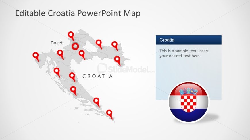
The image illustrates a PowerPoint slide with an “Editable Croatia PowerPoint Map” design. The map of Croatia is rendered in a muted grayscale, with a series of red location pins indicating various sites or cities within the country, one of which is specifically labeled “Zagreb,” presumably marking the capital city.
Adjacent to the map on the right is a text box with a blue header that reads “Croatia,” below which is placeholder text stating “This is a sample text. Insert your desired text here.” The text box is designed for customization, allowing the presenter to add specific details or descriptions pertinent to the presentation.
In the lower right corner of the slide, overlaying both the text box and the map, is a round icon depicting the Croatian flag, featuring its checkerboard pattern and the national coat of arms. This adds a distinct visual cue to the slide’s focus on Croatia.
The layout is clean and professional, with clear demarcations and ample white space to prevent clutter. This slide could be utilized in a variety of settings, including educational lectures on Croatian geography, business presentations highlighting market regions or operational sites, and travel or tourism guides to denote attractions or routes. It allows for easy editing to suit the specific needs of the presentation.
Return to Editable Croatia Map Template for PowerPoint.
Download unlimited PowerPoint templates, charts and graphics for your presentations with our annual plan.
DOWNLOADReturn to Editable Croatia Map Template for PowerPoint.
