Editable Croatia Map PowerPoint Template
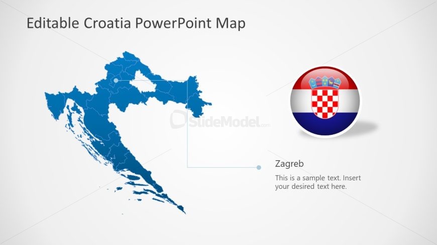
The image features a PowerPoint slide titled “Editable Croatia PowerPoint Map”. The main graphic is a detailed map of Croatia filled in with a deep blue color, showing the intricate coastline and various islands. Regions within the country are demarcated with lighter blue lines, adding to the detail and depth of the map.
In the upper right corner of the slide is a round badge displaying the flag of Croatia, with its characteristic red and white checkerboard pattern centered between horizontal stripes of red, white, and blue, and crowned with a historical coat of arms. This adds a colorful and patriotic accent to the slide.
Directly to the left of the flag badge, there is a text box with a placeholder saying “Zagreb”. Below it is another placeholder text that reads “This is a sample text. Insert your desired text here.”, indicating where presenters can add customized information about the capital city or other relevant commentary.
The layout is simple and visually appealing, with plenty of white space around the map for a clean, uncluttered look. The slide’s design is appropriate for a variety of applications, including educational lectures on Croatian geography, demographics, or history, business presentations for market analysis or expansion planning, and tourism presentations showcasing key destinations within Croatia. The editable feature allows for specific regions to be highlighted or annotated as needed.
Return to Editable Croatia Map Template for PowerPoint.
Download unlimited PowerPoint templates, charts and graphics for your presentations with our annual plan.
DOWNLOADReturn to Editable Croatia Map Template for PowerPoint.
