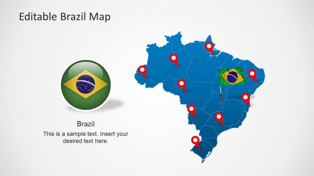
Ecuador Map Template for PowerPoint
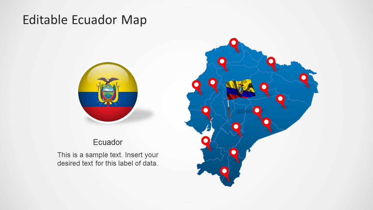
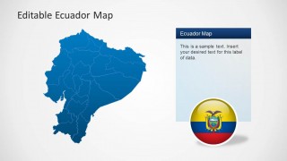
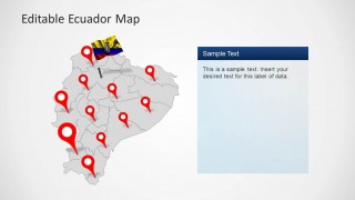
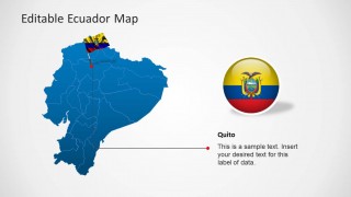
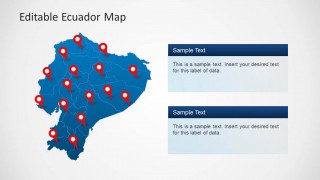
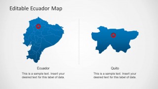
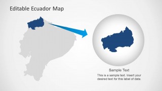
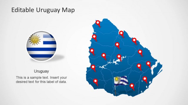
Ecuador Map Template for PowerPoint is a presentation containing outline and political representations of Republic of Ecuador maps. Each shape is constructed of independent PowerPoint object , enabling the user to manipulate each piece individually and build different slides with partial shapes. The user can customize the colors and backgrounds of the states.
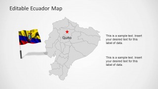
The presentations contains Ecuador flags representations, a highlighting shape for magnifying specific states and different text boxed to add to the layout. Also locating icons are provided and a specific reference to Quito, Ecuador’s capital.
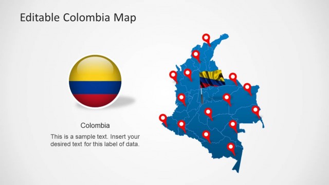
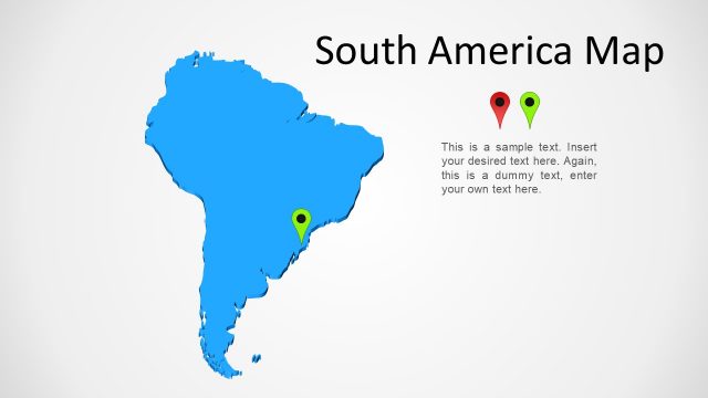
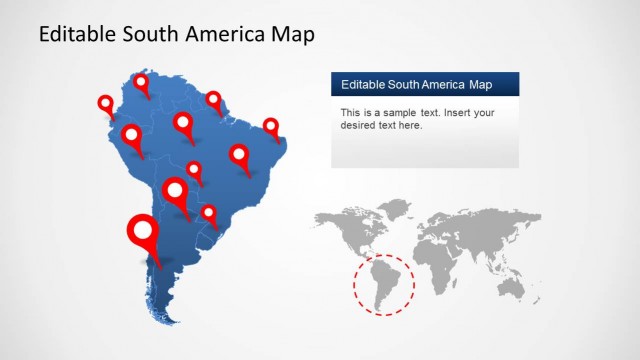
Ecuador is located at the east of South America and borders with Colombia at the north, and Peru at the South and East.
