PowerPoint Dominican Republic Map
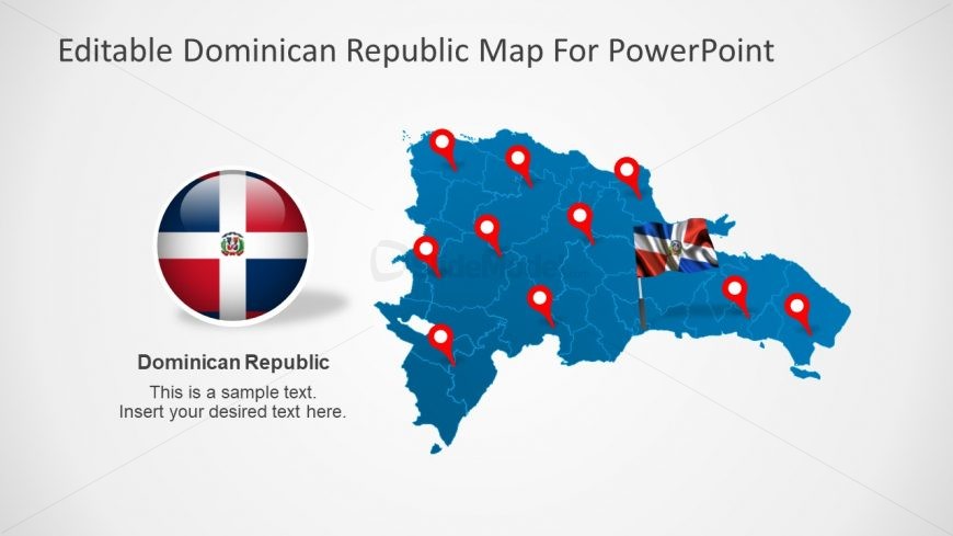
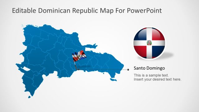
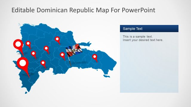
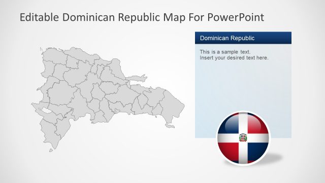
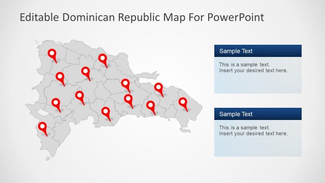
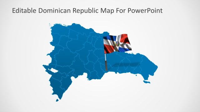
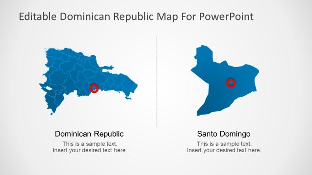
PowerPoint Dominican Republic Map is an awesome template of editable shapes. The collection of shapes makes an incredible map of Dominican Republic. This country map PowerPoint is brilliant way to promote tourism or demonstrate business ideas. For example, the sales analysis in multiple provinces, market survey, company’s offices locations etc. The option of two flag styles as pole and badge are usable in more slides by duplicating them. Also, the location pointers can help pin point the various sites on the map. Further, teachers can use this template to give geographical presentation on South American Countries.
Return to Dominican Republic PowerPoint Map.