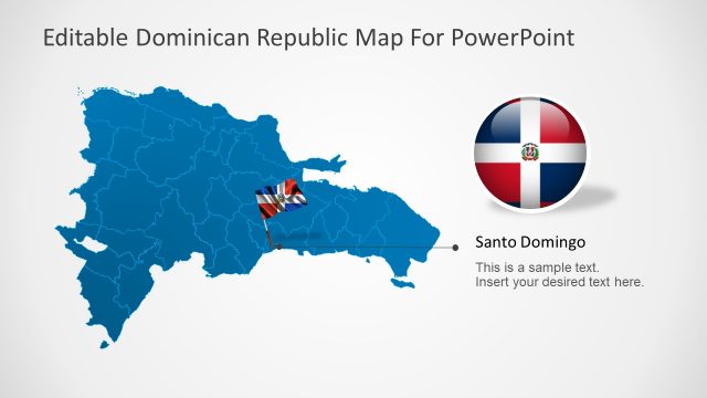
Dominican Republic and Santo Domingo
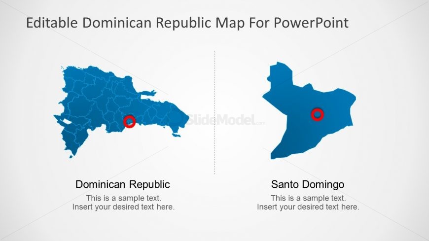
The Dominican Republic and Santo Domingo PowerPoint map has a two contents layout. It shows the two map designs of Dominican Republic larger image or province of Santo Domingo, the capital of country. This variation of design helps users to customize the slides using various editing options of PowerPoint. Such as, change the colors of province shapes according to statistical analysis of population, religion or other terms. The circular icon on the country map gives the idea of focusing on city of Santo Domingo. Similarly, users can make slide templates of other cities and provinces by enlarging the shapes and highlighting figures.
Return to Dominican Republic PowerPoint Map.