Belize PowerPoint Map
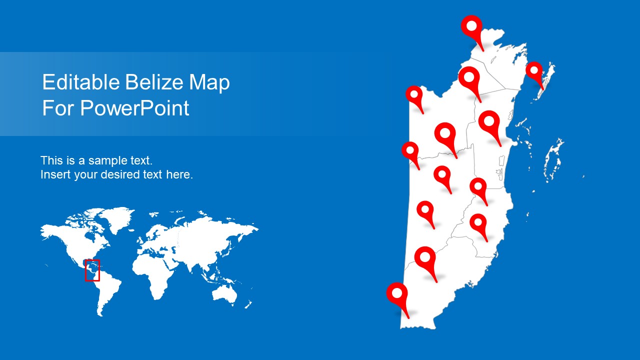
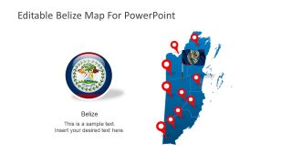
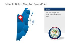
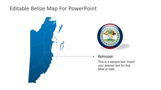
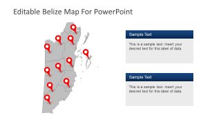
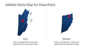
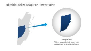
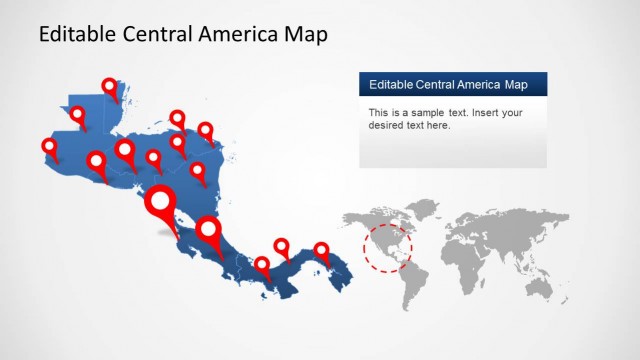
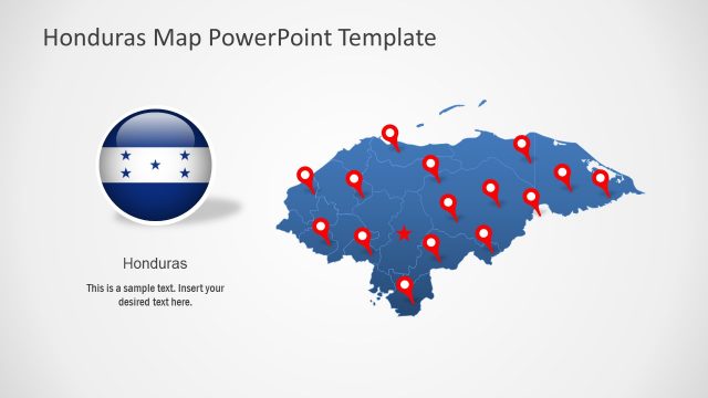
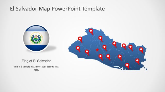
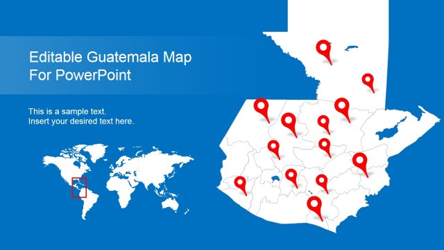
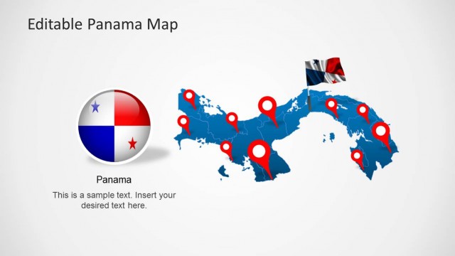
The Belize PowerPoint Map is a graphic presentation of Central American country. Belize is known for its diverse ecosystem and marine species since it is also a Caribbean country. It is a political map template of Belize which presents 9 slides of different silhouette designs. Unlike the regular country maps, the PowerPoint template of single-color outline map could present any topic related to country’s geography. Simplest example could be labeling districts or famous cities of Belize. However, this map template could be used for any purpose from international business representation to tourism. SlideModel.com offers many editable PowerPoint templates for countries, states, and famous cities in maps category.
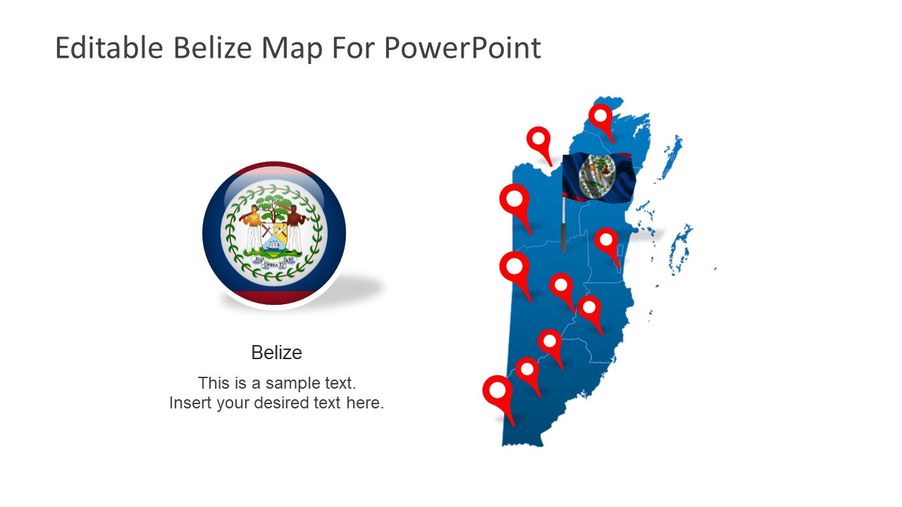
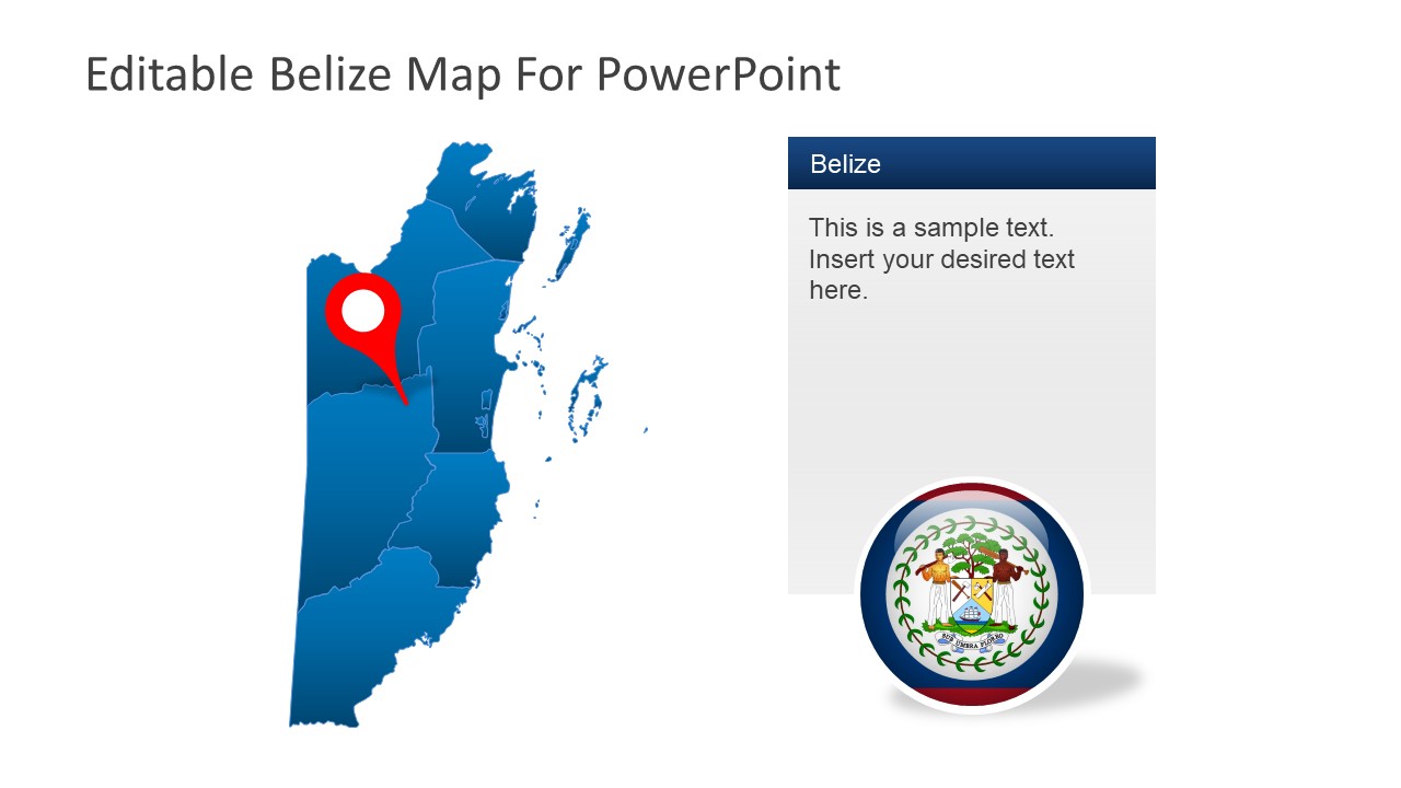
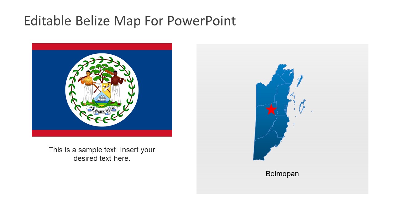
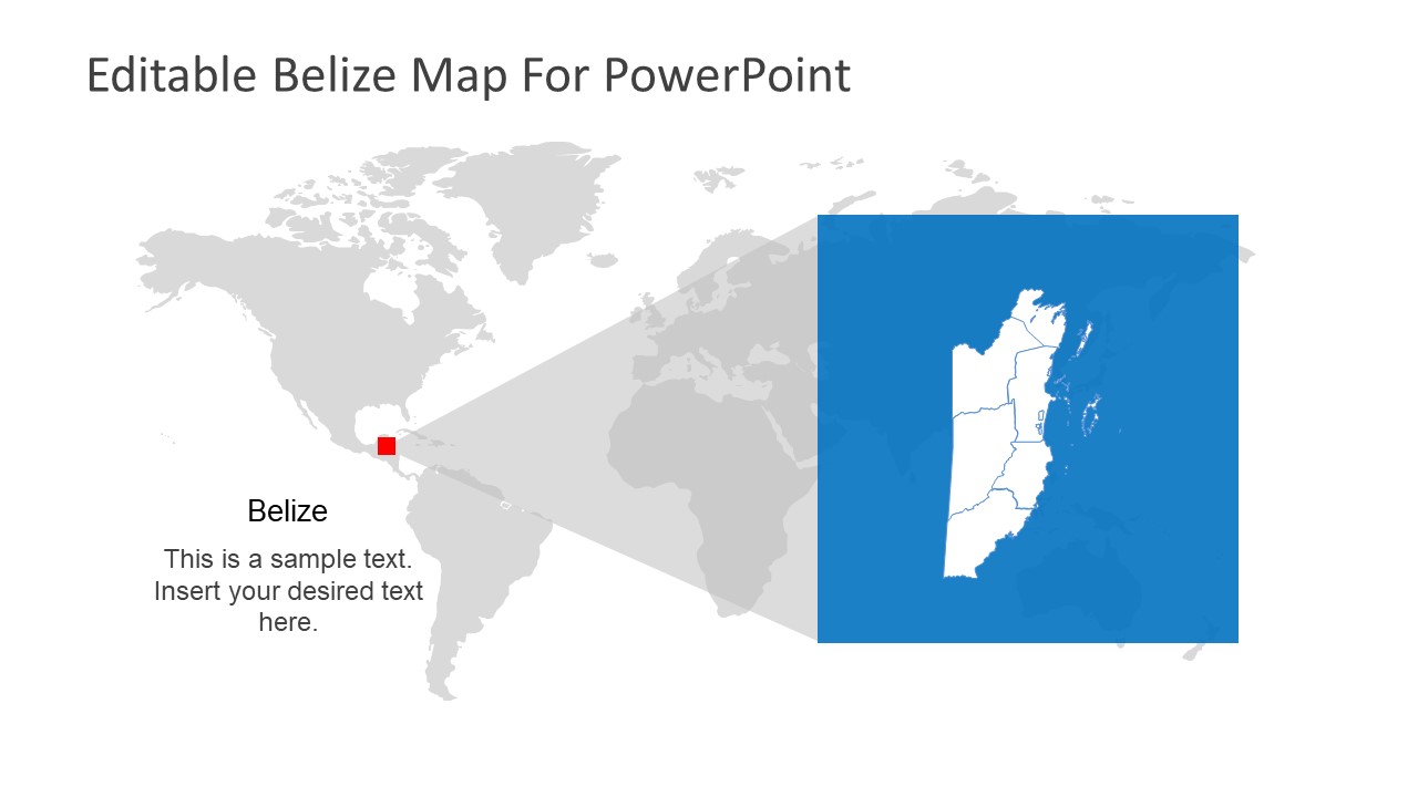
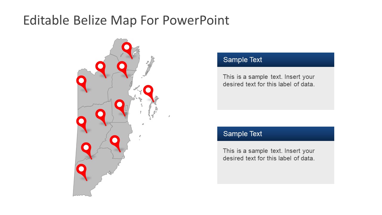
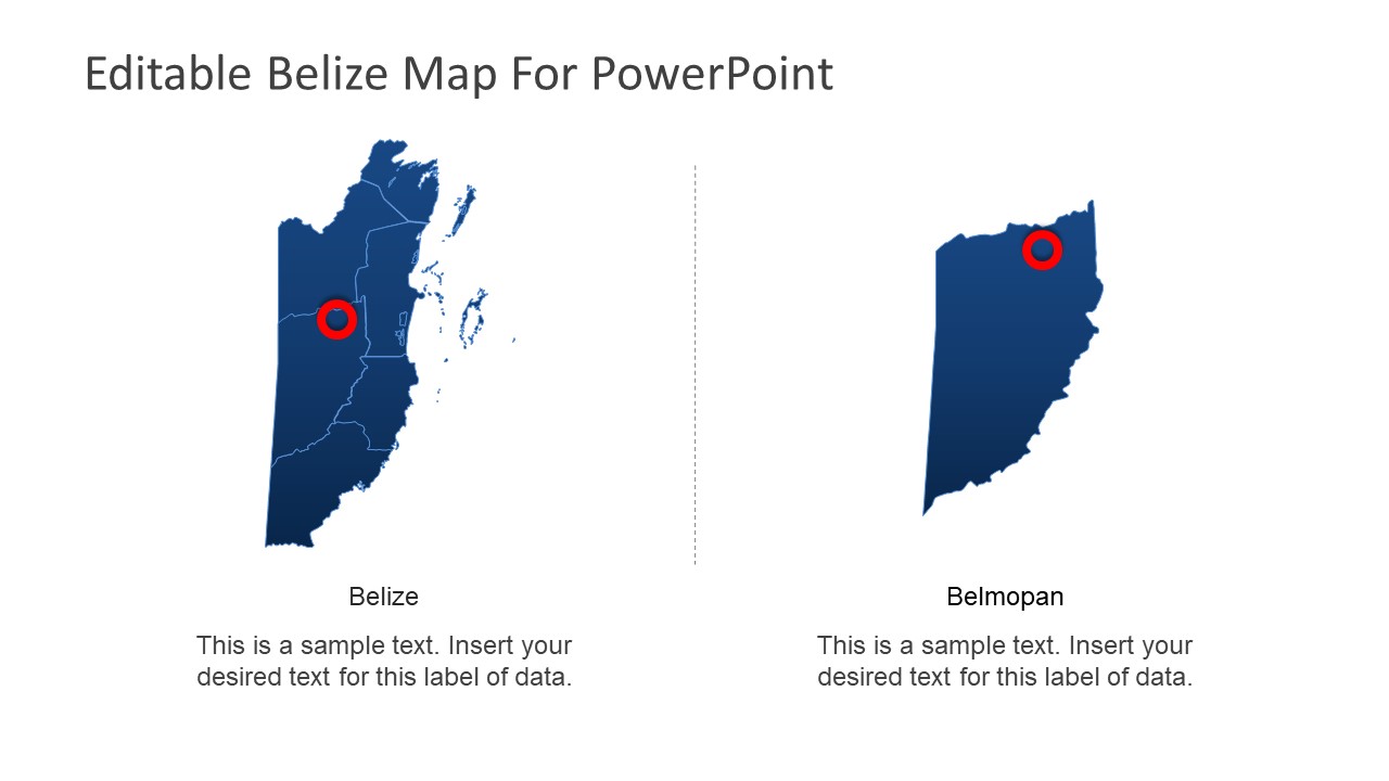
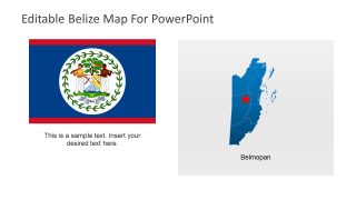
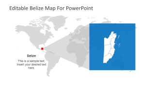
The Belize PowerPoint Map is an editable set of 9 slides where each layout contains range clipart icons. These include various location pins, flags, and text placeholders. The PowerPoint present two colors for silhouette maps here i.e. white and blue. But users can easily change shape fill and outline properties in format menu. There are few map layouts which highlight Belize as a part of world (using editable world map) and capital of Belize using flat zoom-in or location marker. The template further present three flag designs including a location marker as flag-on-pole. Since the outlined districts are individual segments, users can customize them in any way possible. Like changing colors to present statistics or use gradients to illustrate change in weather.
Download this PowerPoint template of outline map that provides high-resolution graphics. These graphics are easy to edit in PowerPoint and assist professionals to communicate their ideas well. Because graphics of map will appeal to the audience.
