Arkansas US State PowerPoint Map
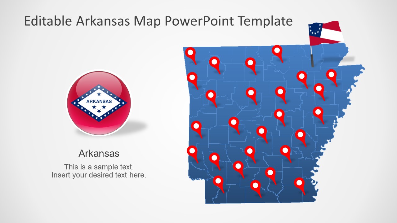
The Arkansas US State PowerPoint Map is a digital state map Template. Arkansas is in the south-central region of the United States. This template of silhouette maps could be used for regional presentation topics. Such as geography lessons, diverse climate, history, demographics, economy, culture, and more. Maps are essential for presentations about geographic regions to visualize and pinpoint a specific area. The editable map templates benefit presenters because they can make changes to the design without any graphic designing knowledge. For instance, customize the size and colors of these maps, add labels, or animate the counties within.
Arkansas has a rich culture and history observable in museums, theaters, and architecture. The state shares borders with Louisiana, Texas, Oklahoma, Missouri, Tennessee, and Mississippi. It is the State of many rivers, lakes, and dense forests.
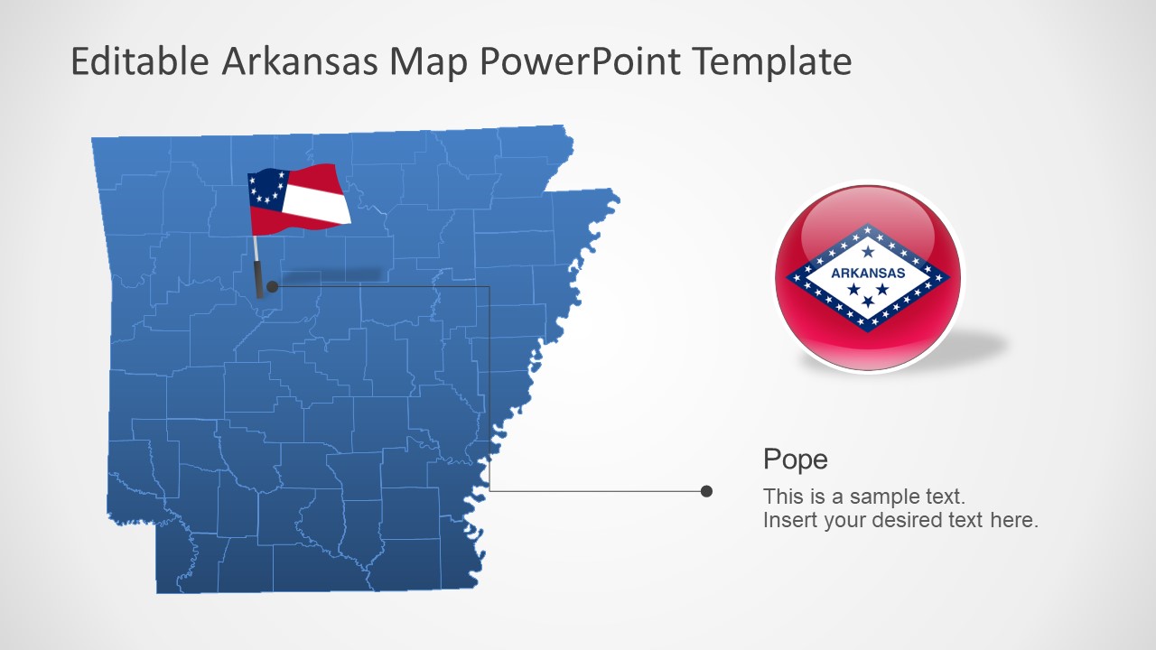
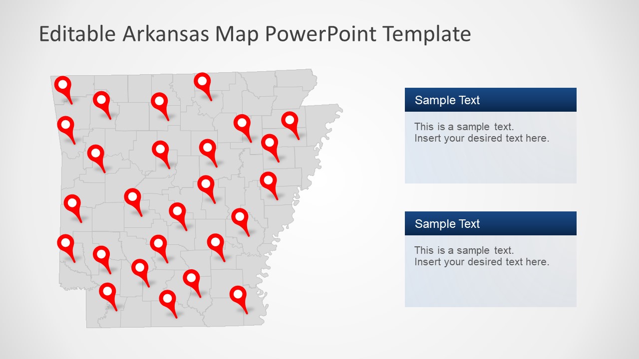
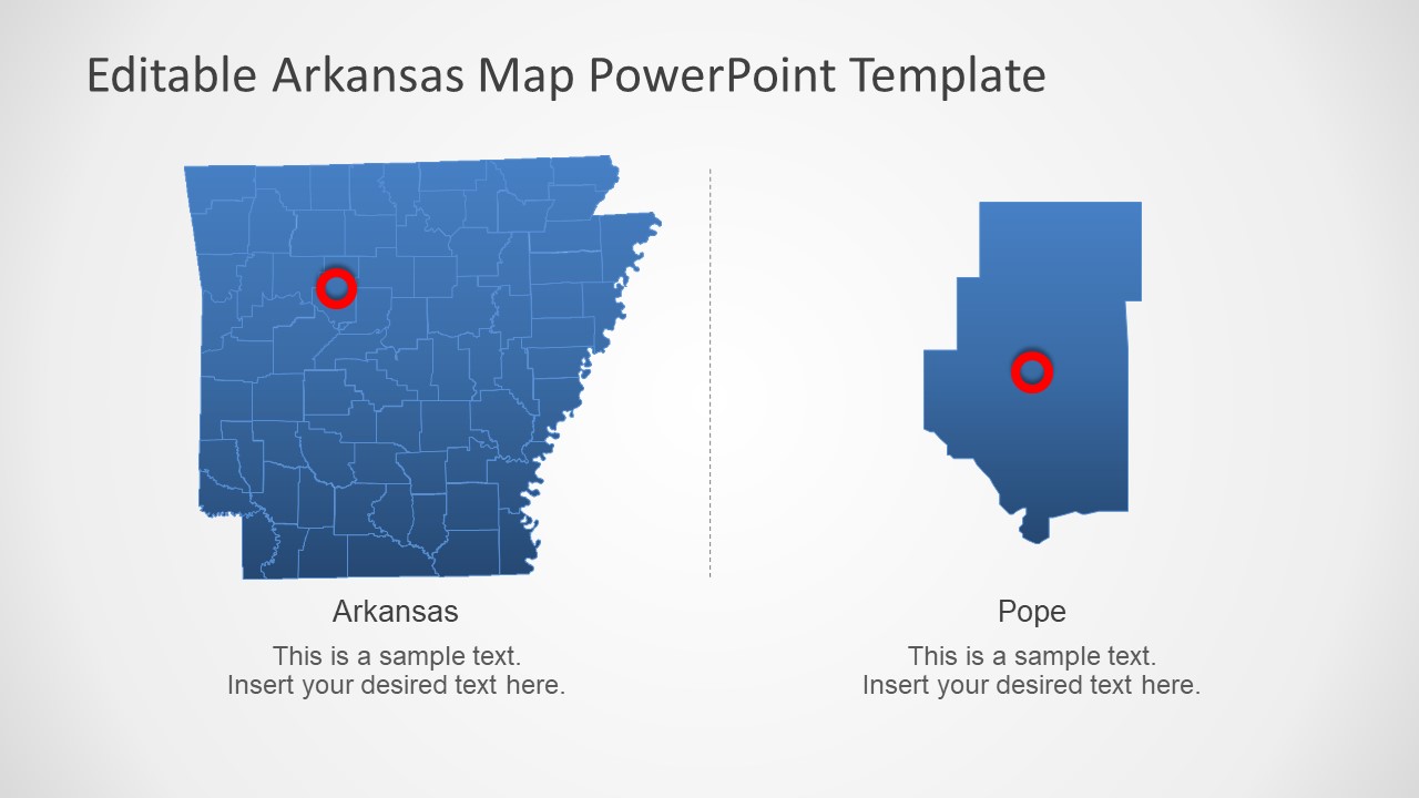
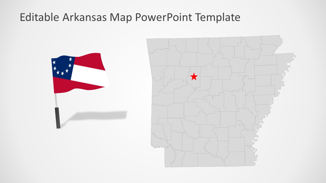
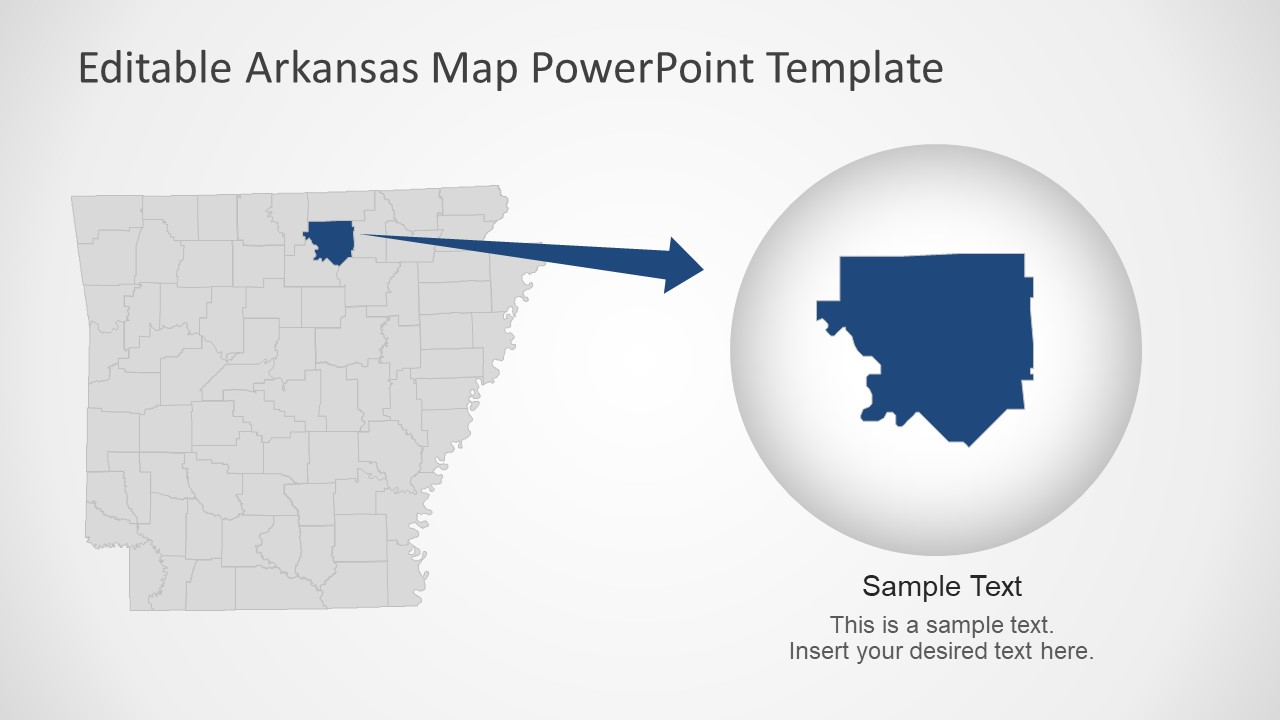
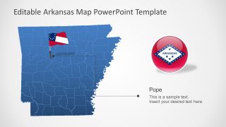
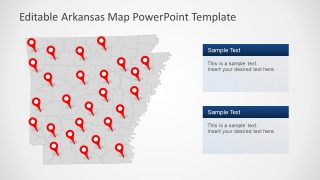
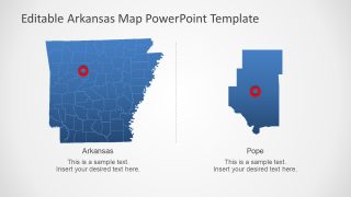
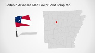
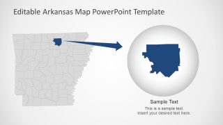
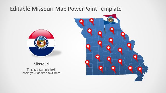
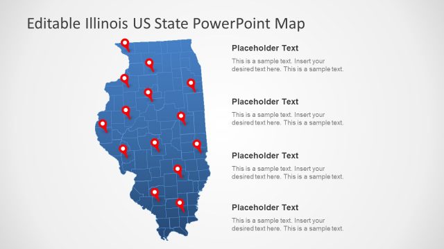
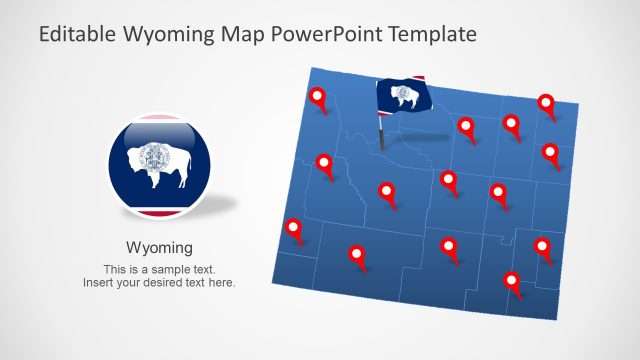
The PowerPoint map templates of Arkansas contain 75 editable counties outlining borders. There are seven slide layouts with variations in design and contents of the Arkansas map. The shapes such as location markers, flags, and lines will help highlight important areas or presentation topics. Simply move these objects to the desired point on map and add details to the text placeholders. The maps highlighting one county and Pope City give an idea of how to resize and focus discussion on one area.
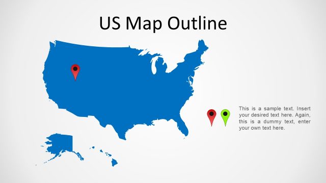
The Arkansas US State PowerPoint Map is perfect for learning about USA geography. You can also download the United States of America map and more States for regional history and environment presentations. Each map slide is ready to be personalized and fit into existing presentation theme.
