Arizona US State PowerPoint Map
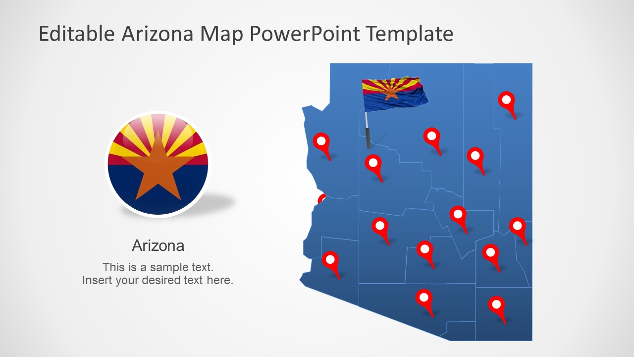
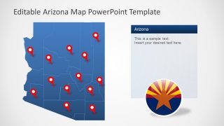
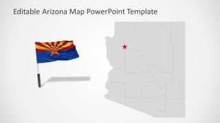
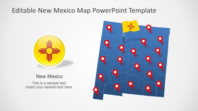
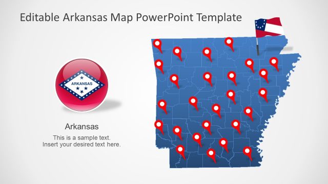
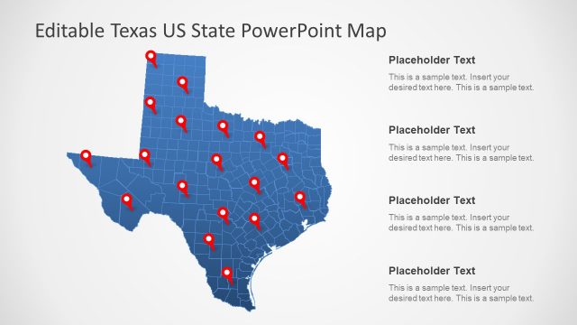
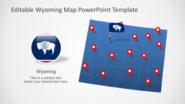
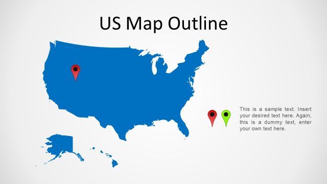
The Arizona US State PowerPoint Map is an outline silhouette map for one of the biggest US State. This is an editable map template for Arizona, the southwestern state of United States. It includes 7 slides for Arizona map, giving presenter a choice to copy desired layout design. All map slides are collective counties join to demonstrate map of Arizona. Further, this map highlights the large cities and outlines counties. The presentation of Arizona map in PowerPoint will enable users to discuss location-based marketing and business opportunities. It could also assist professionals such as school teachers to demonstrate geographic importance of Arizona State.
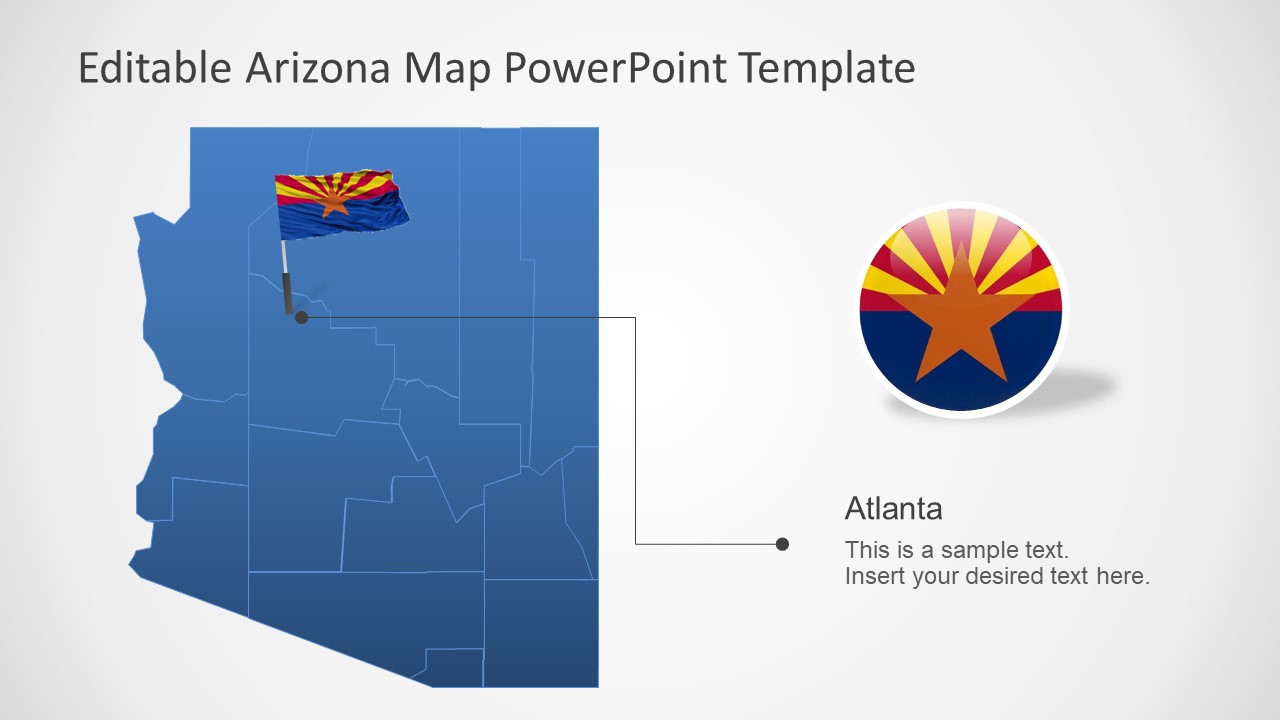
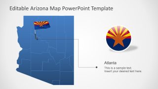
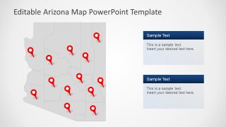
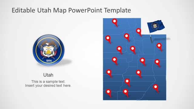
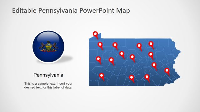
The 7 Slides of Arizona US State map in PowerPoint shows blue and gray color them. But this is easily changeable using PowerPoint formatting options like solid fill, outline, or color themes. The users can change the colors and sizes of each county individually or customize presentation as a whole. The slides of Arizona map also include clipart icons for targeting locations i.e. location pin markers and flag. These are high-quality graphics that users can resize without compromising on visuals.
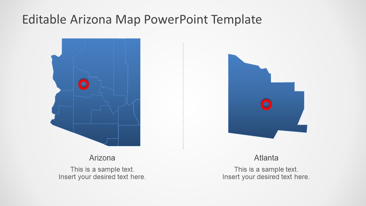
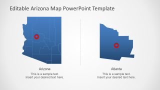
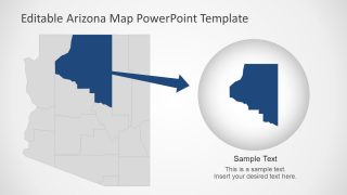
The Arizona US State PowerPoint Map also offers two zoom-in style layouts to create a focus on Specific County of city. For instance, the 5th slide highlights Atlanta as a part of Arizona State. These zoom in slides and outline county map template will help highlight areas in marketing and statistical analysis. Furthermore, the US State map of Arizona could be used to promote businesses, tourism, and opportunities.
