Alaska US State PowerPoint Map
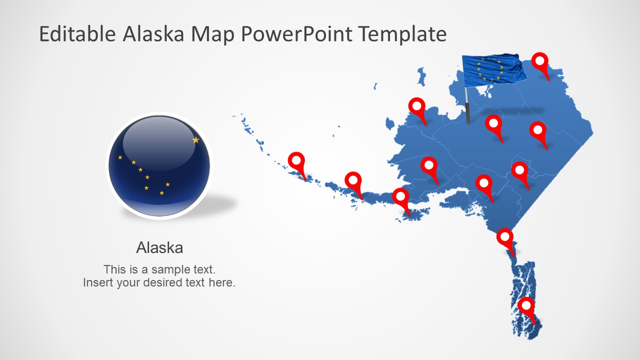
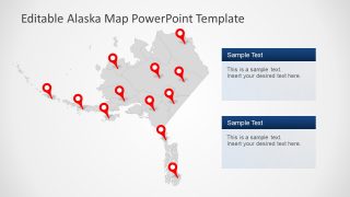
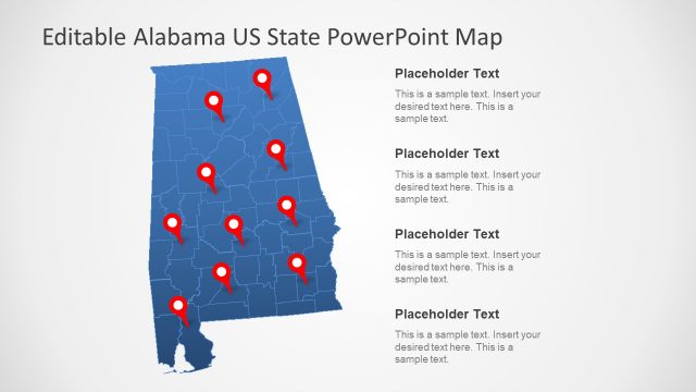
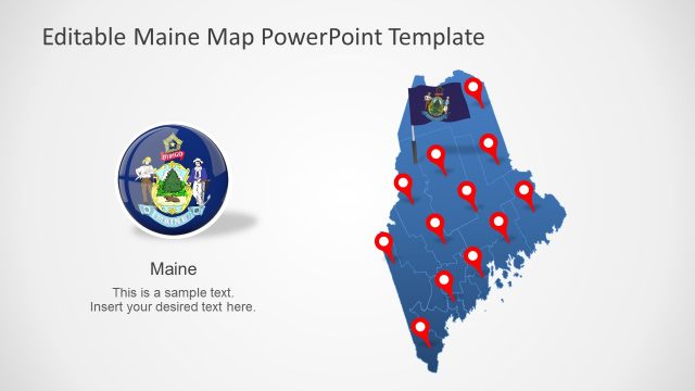
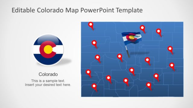
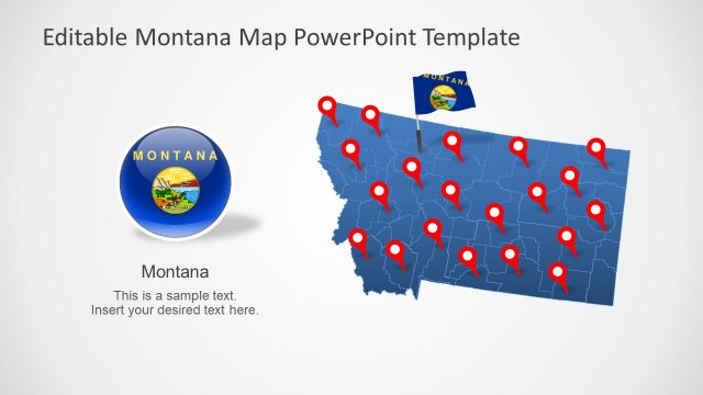
The Alaska US State PowerPoint Map is an editable template for one state in the United States of America. This state is divided into 19 organized boroughs and one unorganized brought. The 7 slides of Alaska PowerPoint present silhouette maps with all Boroughs. These slides provide an outline map of Alaska, showing borders of boroughs. This template provides location markers, Alaska maps, labeling lines, and text placeholders. These PowerPoint elements will support regional concepts.
The state of Alaska is an enclave of U.S.A, one of the northwest extremity of the country’s West Coast. It borders British Colombia, the province of Canada. It is the largest state of the USA by area. Alaska’s economy is dominated by fishing, natural resources, tourism, and has many national forests, parks, and wildlife refuge. The Editable maps of Alaska could be used to present state’s economy for business presentations.
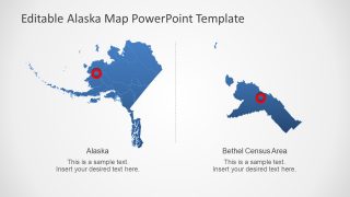
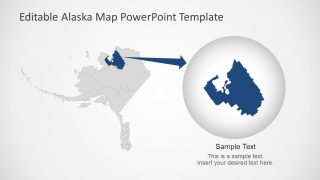
The slides of Alaska PowerPoint map offer blue and gray silhouette maps. These maps will help you create professional presentations for communicating regional topics. For example, social statistics, population, sales data, transportation, and more. The users can change the colors or size of individual boroughs, creating color codes for data representation. There are two templates highlighting city and borough in standard State maps slide deck. You can also create additional slides focused on Alaska’s divisions.
