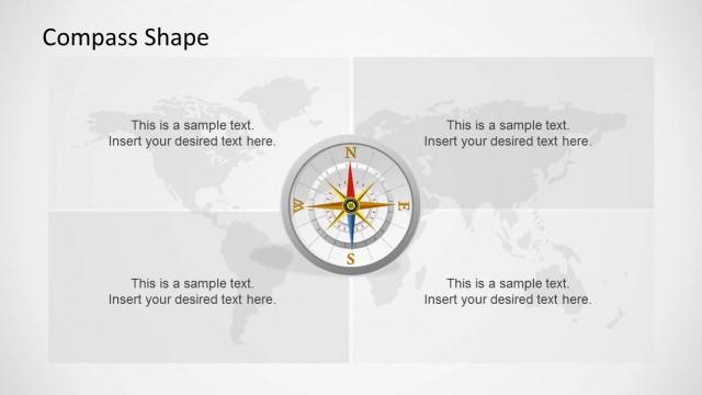
Slide 3 of 3 from Worldmap & Cardinal Points Shape for PowerPoint
World Map Illustration & Cardinal Points Clipart
Worldmap with Cardinal Points for PowerPoint
- Diagram
- Other
- Context Slide
- 16:9
- 100% Editable
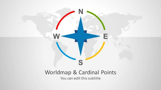
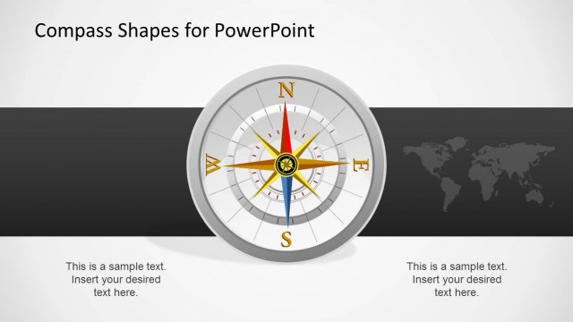
The Worldmap with Cardinal Points slide from the Worldmap & Cardinal Points Shape for PowerPoint template offers a clear geographic orientation tool ideal for business presentations and global strategy discussions. This slide layout integrates editable shapes and vector icons representing the four cardinal directions, enhancing navigation concepts within a corporate presentation or pitch deck template. Its balanced design supports effective communication of location-based information in slide decks focused on logistics, travel, or international relations.
What’s on This Slide
The layout features a world map background with four cardinal point icons arranged in a horizontal line. Each icon is a compass rose, colored differently, with labels for North, East, South, and West. Below each icon, there are text placeholders for additional information, aligned centrally. The icons are evenly spaced and of equal size, enhancing visual balance. The overall color scheme includes blue, green, yellow, and red accents against a light background, creating a clear visual hierarchy. The map is subtly integrated, providing context without overwhelming the icons.
How to Use It
This layout serves as a visual representation of geographic orientation using cardinal points. It is suitable for presentations discussing navigation, geography, or global strategies. Positioned at the end of a presentation, it can summarize key points or illustrate directional concepts. This structure is particularly useful in business contexts where understanding location and direction is essential, such as logistics, travel, or international relations. It can also be adapted for educational purposes to teach geography or navigation skills.
Text Placeholders & Capacity
Keep your copy within these limits so it fits without resizing. Node labels can hold about 10 characters each.
| Placeholder | Count | Max characters (approx.) |
|---|---|---|
| Slide title | 1 | 30 |
| Subtitle | 1 | 40 |
| Item heading | 4 | 10 |
| Item body | 4 | 50 |
Slide Keywords
Download unlimited PowerPoint templates, charts and graphics for your presentations with our annual plan.
DOWNLOAD