United States Virgin Islands PowerPoint Map
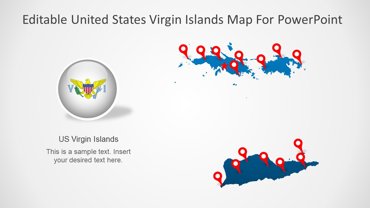
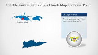
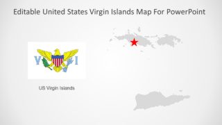
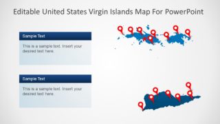
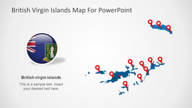
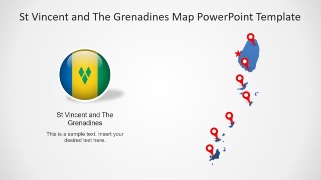
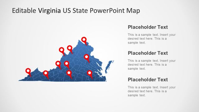
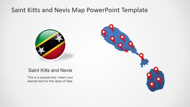
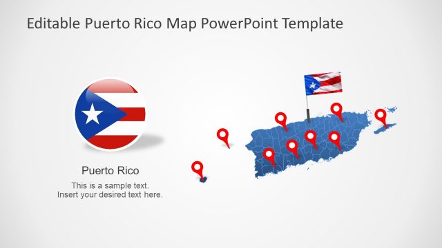
The United States Virgin Islands PowerPoint Map is a presentation of islands and islets in Caribbean. These islands are U.S territory also known as USVI or the American Virgin Islands. Because there is another group of Virgin Islands that are a British territory. The map template of U.S. Virgin Islands also includes clipart flag shapes. It will help differentiate between U.S. and British Virgin Islands. This template further includes GPS location marker PowerPoint shapes and text placeholders. The users can easily customize these elements to present textual content and highlight various regions.
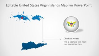
The Map of Virgin Islands in PowerPoint are flat vector high-quality graphics. These are silhouette shapes that outline all islands and islets. The users can change blue and gray colors of these maps from solid fill feature in shape formatting menu of PowerPoint. Because these are fully editable PowerPoint map templates.
The map templates are suitable for discussing opportunities in geographic regions. The presenters can mark areas using location markers to highlight important regions. Or add data charts to demonstrate statistics such as demographic information, socio-economic reports, and tourism.
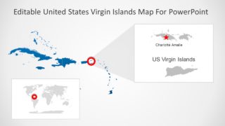
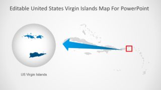
The United States Virgin Islands PowerPoint Map is a 7 slides template with different layouts. These layouts also include a silhouette map of the Caribbean and highlight USVI in it. The users can copy their desired slide layout into an existing presentation and personalize it.
