Trinidad and Tobago PowerPoint Map
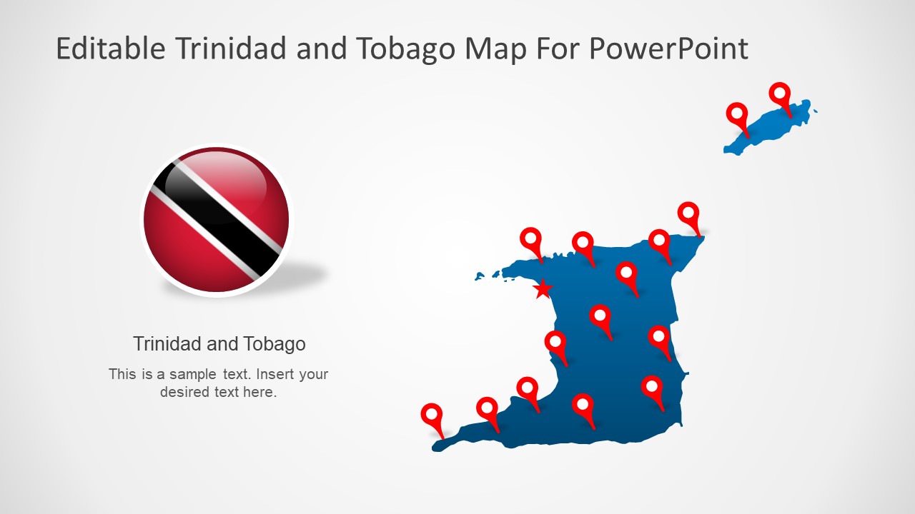
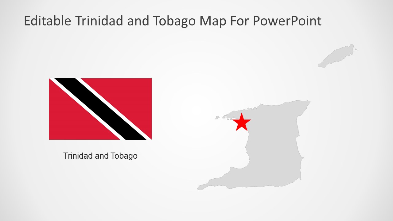
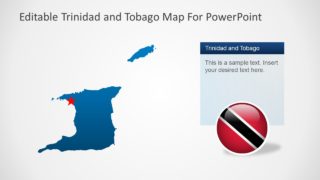
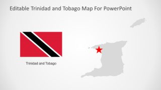
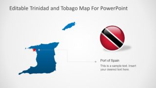
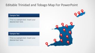
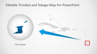
The Trinidad and Tobago PowerPoint Map is a collection of 7 slide designs for dual-island Caribbean nation. These slides are silhouette map templates that enable users to present regional and geographic concepts. Because outline map templates can help present a wide range of regional topics. For example, country’s demographics, statistical reports, marketing opportunities, and much more. This template shows blue and gray PowerPoint maps of Trinidad and Tobago. But users can change these colors from solid fill option in formatting menu of PowerPoint. Because it is a fully editable map template. The users can also add text, change placeholders, and apply shape effects to personalize layouts to meet presentation requirements.
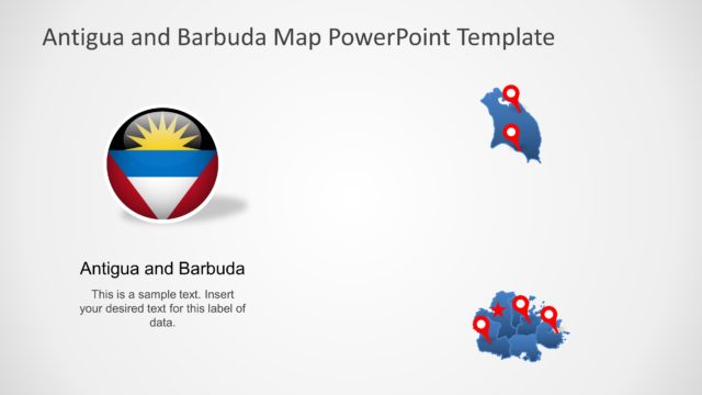
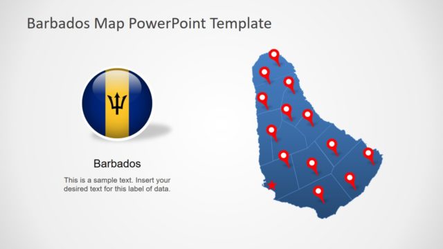
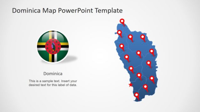
The Trinidad and Tobago PowerPoint Map include additional graphics to support geographic map presentations. These include flag clipart images, star shape and GPS markers. The users can change position of these PowerPoint objects and highlight important regions according to presentation. Or, customize and resize them to enhance presentation visuals.
Trinidad and Tobago is a 2-Island country of the Caribbean Sea. This country is known for its oil and gas reserves. It is also recognized as a high-income economy. These outline map templates of Trinidad and Tobago will enable presenters to describe Regional corporations and municipal division.
