Oceania Maps PowerPoint Templates
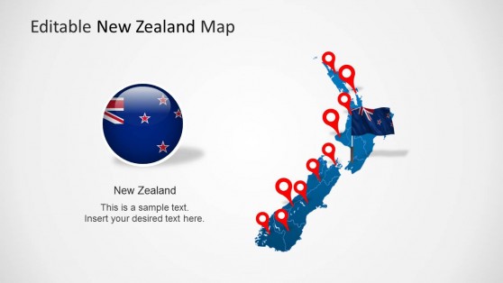
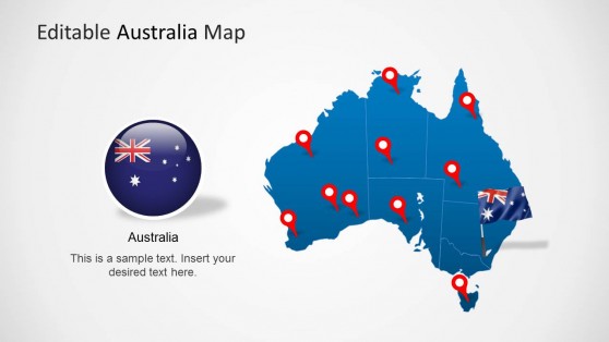
Download Oceania Maps PowerPoint Templates to present Australia and neighbouring countries using our customizable Maps Shapes.
When you need to communicate data, trends, or insights about the Oceania region, a visually compelling presentation is the most effective way to do it. Our Oceania PowerPoint templates are designed to help you take your presentations to the next level. Whether focusing on Australia, New Zealand, or the Pacific Islands, having a detailed, customizable Oceania PowerPoint template allows you to create stunning, data-driven slides that keep your audience engaged.
Whether you’re in business, education, government, or non-profit work, these Oceania PPT templates offer the perfect solution for presenting geographic data, market trends, regional insights, or even logistical plans. With our templates, you can customize every aspect of the map to match your needs, saving time and ensuring a polished, professional look. Let’s dive into why our Oceania PowerPoint templates are the must-have tool for your next presentation.
Customizable PPT Templates to Suit Your Needs
Our Oceania PPT templates are designed with complete customization in mind. Whether you’re presenting data about Australia’s economy, New Zealand’s tourism, or the cultural dynamics of the Pacific Islands, you can adjust colors, labels, and map details to suit your needs. The ability to customize every aspect of the template ensures your presentation will be both accurate and visually aligned with your brand or theme.
Each Oceania PowerPoint template allows you to zoom in on specific regions, highlight countries or islands, and label areas with important data points. Whether you’re showing population statistics, business expansion plans, or educational information, the ability to fine-tune the map ensures you convey exactly what your audience needs to know.
Perfect for Multiple Industries
Our Oceania PowerPoint templates are not limited to one particular field. They are versatile and can be used across a variety of industries, including:
Business: Whether you’re conducting a market analysis, planning an expansion into Australia or New Zealand, or discussing supply chain logistics across the Pacific Islands, our Oceania PowerPoint templates are designed to help you present your data clearly and effectively.
Education: Teachers and professors can use these templates to present information on the geography, history, or cultural diversity of Oceania. The Oceania PPT template allows educators to create engaging, informative, visually appealing lessons that are easy to follow.
Government and NGOs: For policy discussions or NGO presentations, our Oceania PowerPoint templates help visualize data on regional development, environmental initiatives, or disaster response efforts. These maps can highlight key focus areas and make complex information more accessible.
Tourism: Travel agencies, tourism boards, and tour operators can use our Oceania PowerPoint templates to showcase popular travel destinations, logistics, or regional trends. The ability to customize maps with attractions, transportation routes, and other details ensures you can effectively market your services.
How do I get an Oceania Map in PowerPoint?
Download an Oceania PowerPoint template from SlideModel or use PowerPoint’s Insert > Map feature, if available, to select and customize the Oceania region.
Is there a world map in PowerPoint?
Yes, you can insert a world map using PowerPoint’s Insert > Map feature, or find pre-designed world map templates at SlideModel.
How do you insert a country in PowerPoint?
Use an editable map PPT template or insert a country image through Insert > Pictures, then customize it directly in PowerPoint.

