Oregon US State With Counties PowerPoint Map
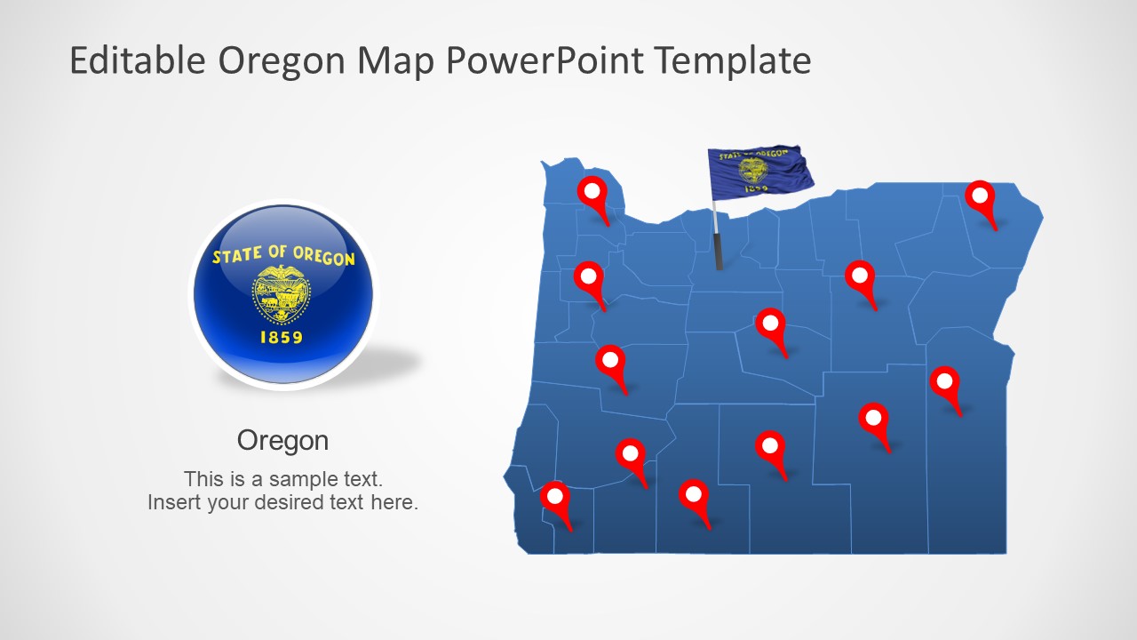
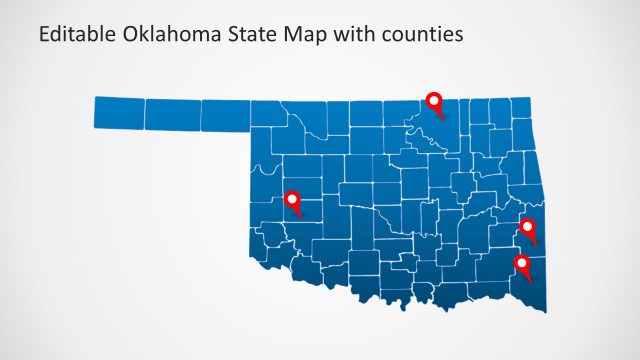
The Oregon US State With Counties PowerPoint Map is a high-quality presentation of geographical region. The map of Oregon includes 7 slide designs of silhouette graphics. These graphics include editable units of all counties grouped into one map of Oregon. Oregon is the Pacific Northwest state of the United States. It shares boundaries with Washington, Idaho, California, and Nevada. The editable template of this state contains an outline map of all counties. These outline PowerPoint maps will help highlight highways, waterways, capital, and other major cities. The SlideModel catalog provides a wide collection of editable maps of countries, US States, and a few cities.
The editable map template of Oregon will help demonstrate a variety of geographic concepts. For example, potential business opportunities and market segments, socio-economic statistics of region, research programs and more. Similarly, these slides could be used for location-based project planning such as municipality, road work, housing, etc. Hence, the Oregon county map and other map templates of US State are useful for presenting nationwide business and marketing campaigns.
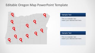
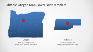
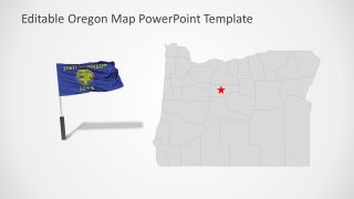
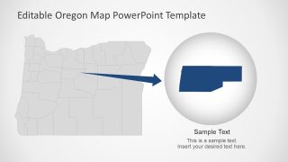
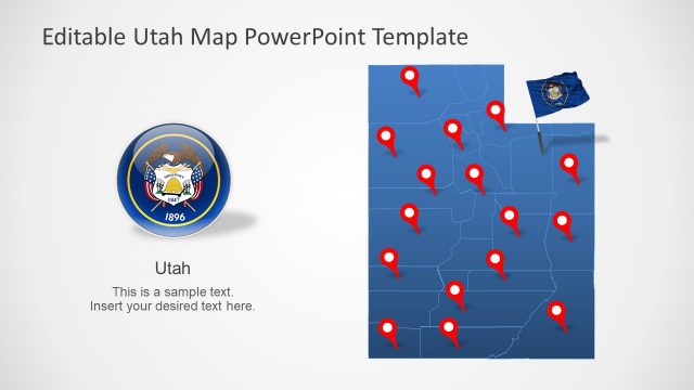
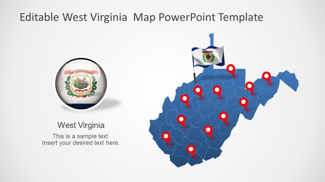
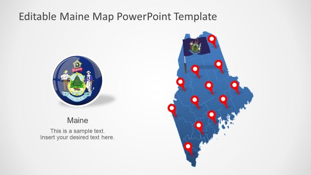
The Oregon US State With Counties PowerPoint Map offers 7 layouts with supporting contents. Such as text placeholders, location markers, and flag clipart for reference. These slides are professional map layouts, originally in blue and gray color. But users can add multiple shades to color-code map or change the entire color theme. There are two slides that feature a zoom image style to highlight county or capital city. The users can create additional zoom-style slides by resizing other counties in PowerPoint.
