New Jersey State PowerPoint Map
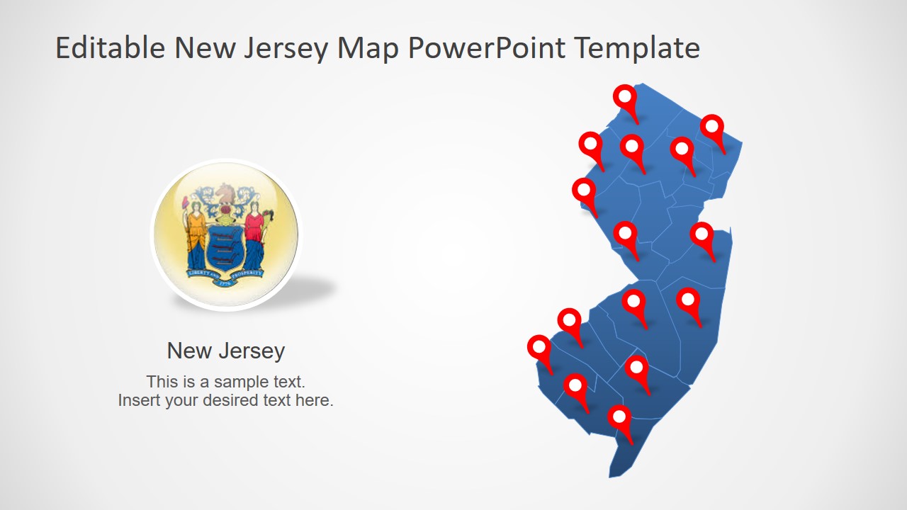
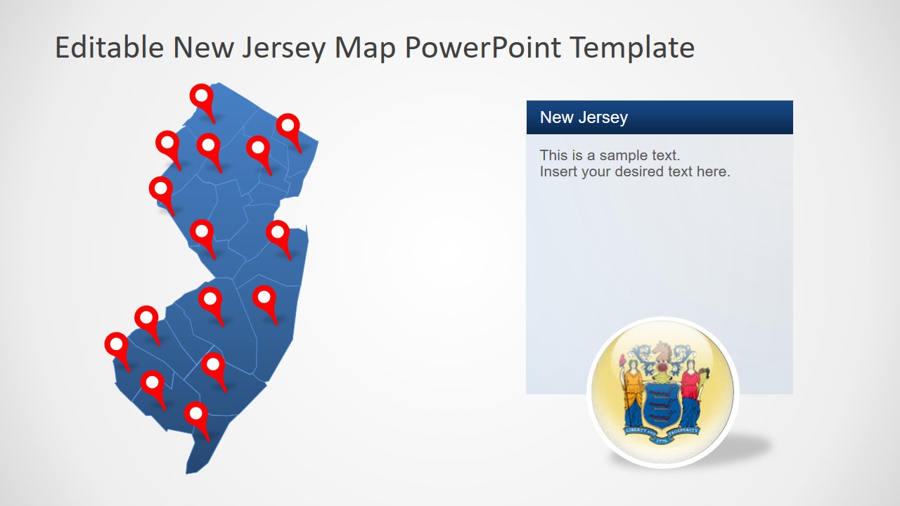
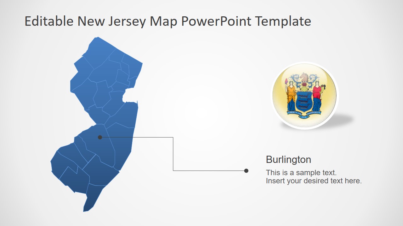
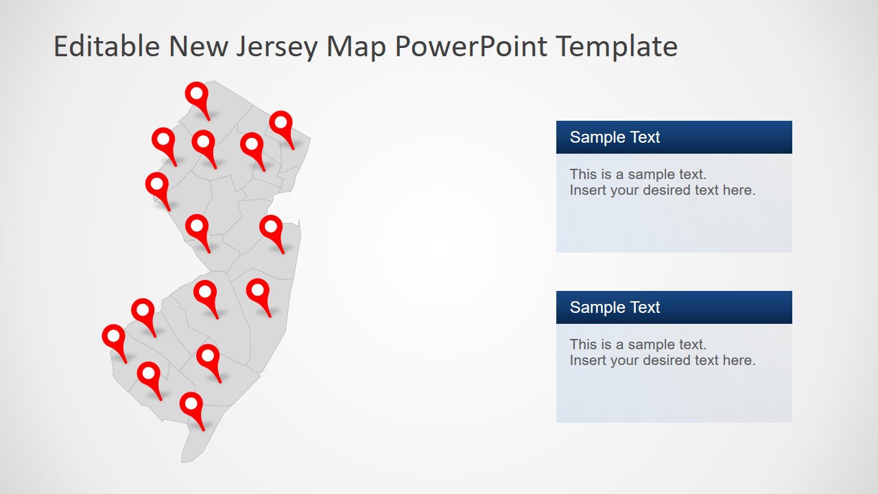
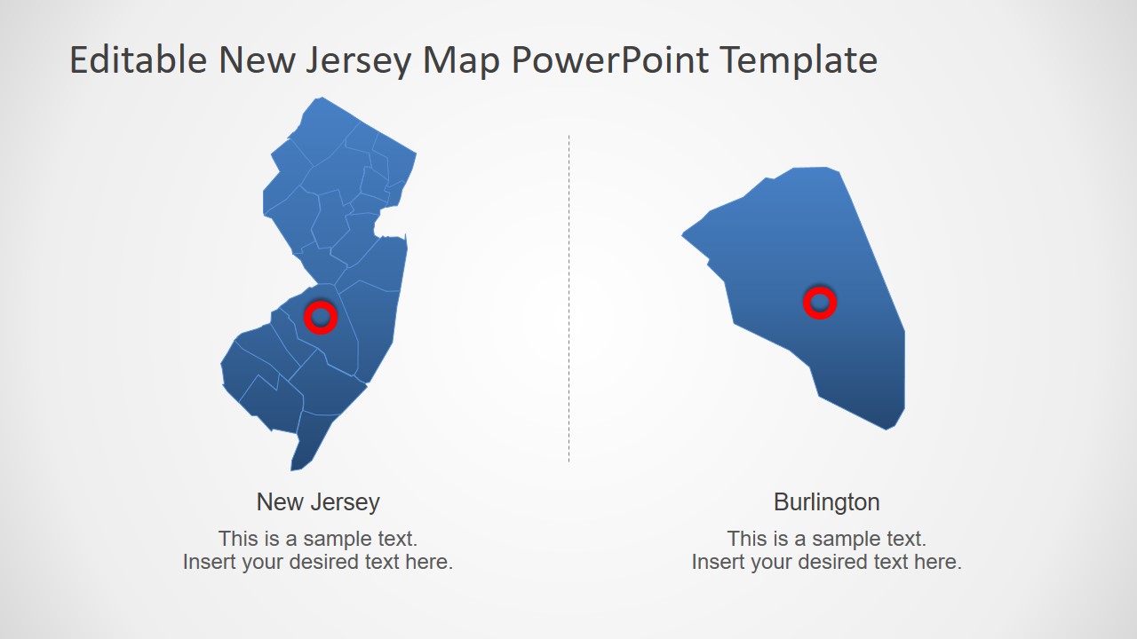
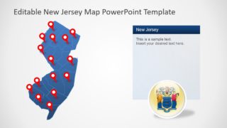
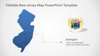
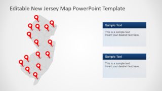
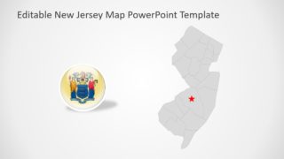
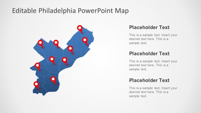
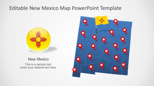
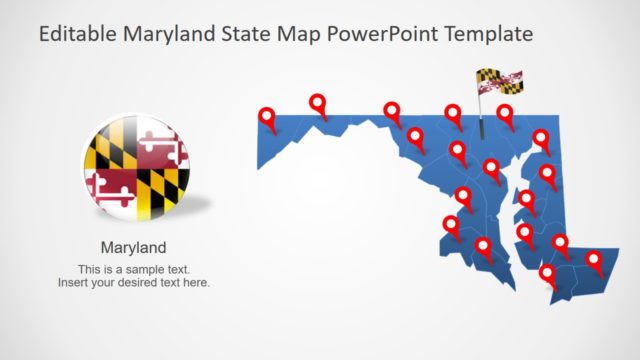
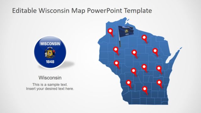
The New Jersey State PowerPoint Map is a geographic presentation for one of most populous states of America. This template offers 7 unique silhouette maps for the State of New Jersey. These map slides contain individual PowerPoint shapes to represent each county of State. These counties join to create a complete professional outline map of New Jersey. Therefore it enables users to extensively customize maps according to presentation requirement. For example, applying different shape colors apart from standard blue and gray theme by SlideModel. The colors can help highlight multiple counties based on statistical surveys, target markets, tourist areas, etc.
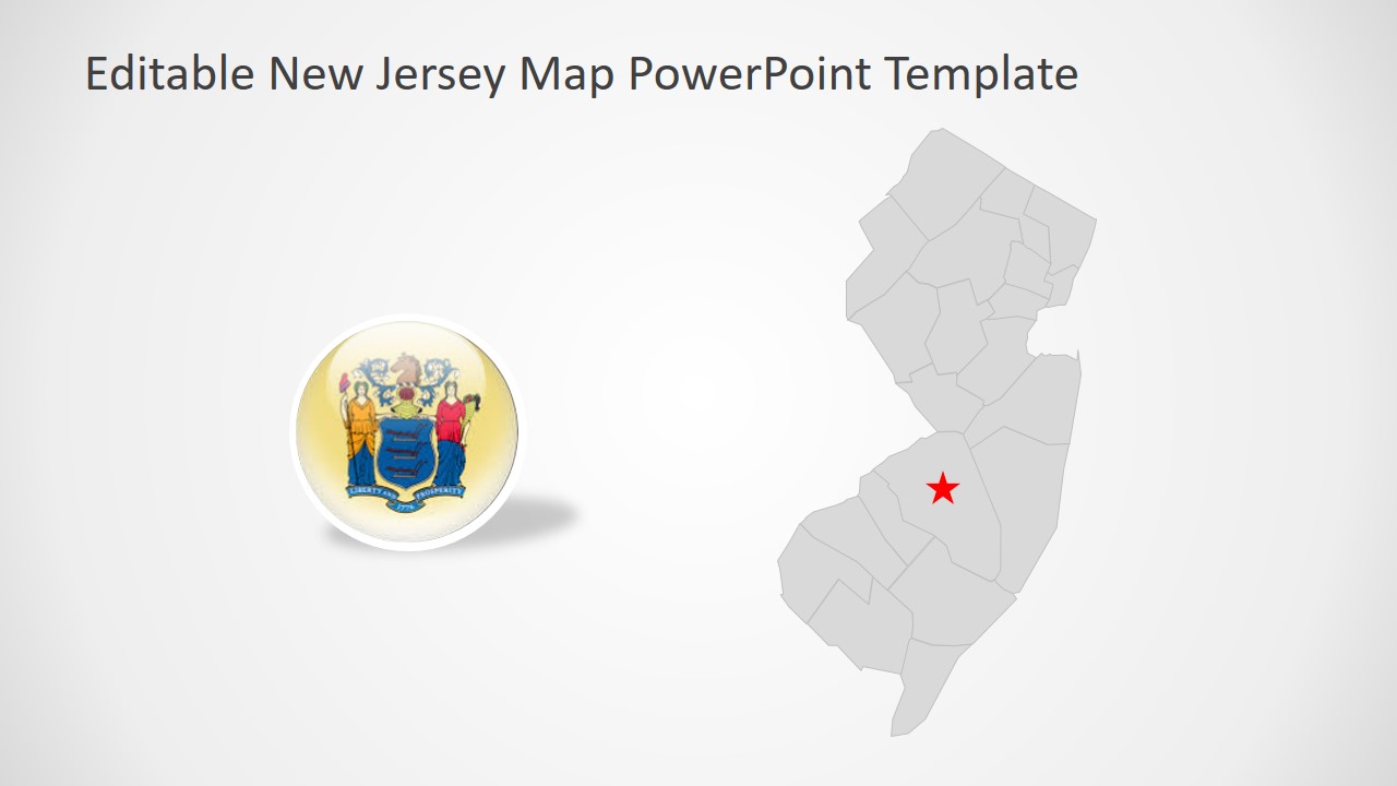
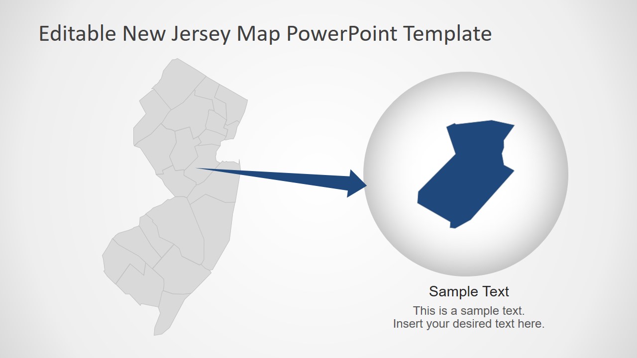
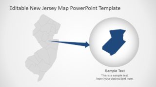
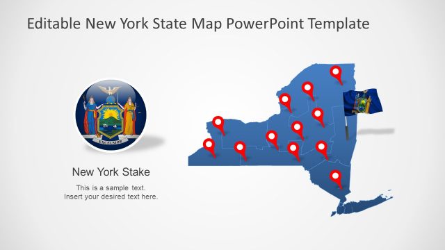
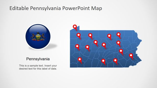
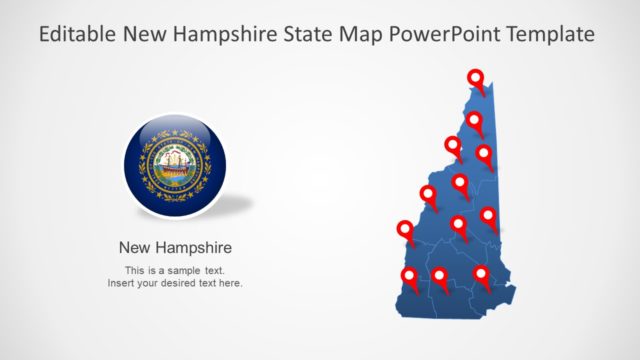
The New Jersey State PowerPoint Map include various labeling options like location marker, flag button, and line pointers. The users can customize and reuse these clipart icons as it seems fit to overall presentation. Here, circular flag shape is a high-resolution image and resizing it doesn’t affect its image quality. All 21 counties are individual segments which can help create zoom-in slides. Simply copy Individual County into circular PowerPoint shape with an arrow to depict zoom-in presentation style.
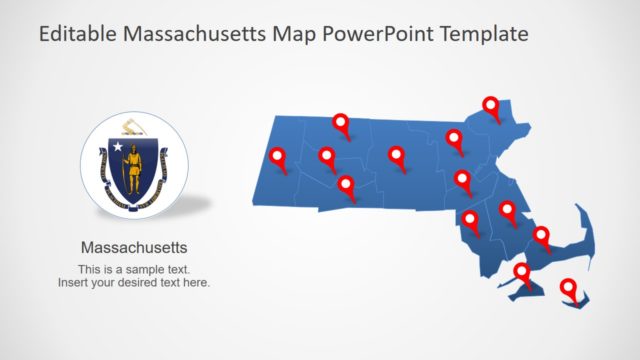
The New Jersey outline map template is an editable PowerPoint, enabling professionals to choose any layout for business presentation. These maps are further helpful in geographic and history presentations. Especially in schools, the students can benefit from labeling areas and outlining multiple States of America. The SlideModel contain maps for various States of America such as Washington and Massachusetts.
