Montana US State PowerPoint Map
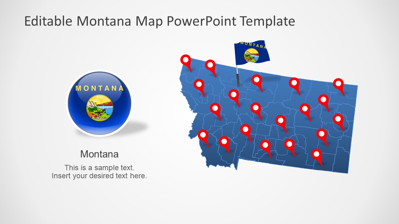
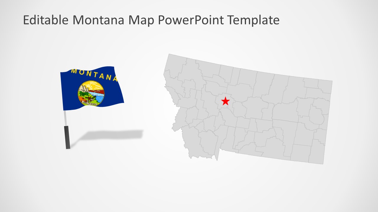
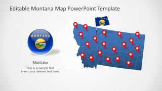
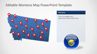
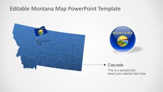
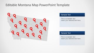
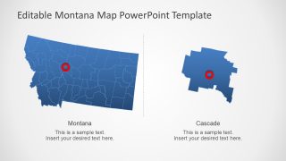
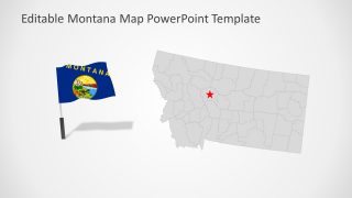
The Montana US State PowerPoint Map is a collection of seven variations for the geographical map of Montana. Montana is one of the 50 states of the United States of America. These templates are silhouette outline maps created as flat vectors-based PowerPoint shapes. This means you can easily change the colors and size of these maps from the design format menu. Each slide provides a combination of an editable map with location markers, flags, and text placeholders. These PowerPoint shapes will help highlight the key components of the presentation effectively. For example, navigating a specific county using GPS markers to communicate a point of discussion.
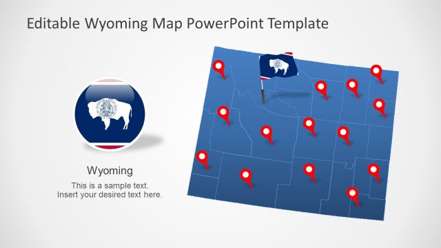
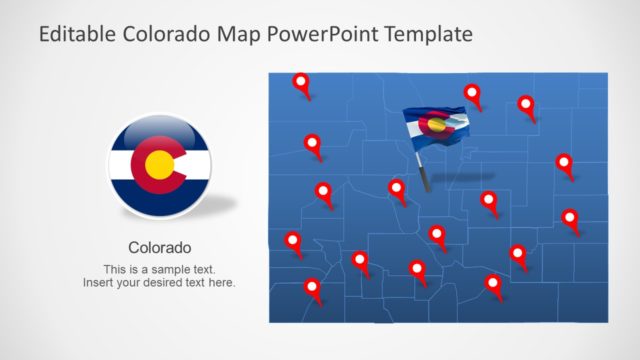
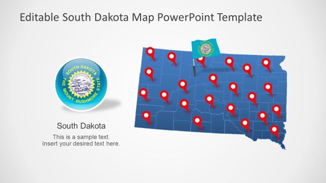
Montana is a landlocked US state known for its range of the Rocky Mountains in the North America. It border’s British Colombia of Canada, Alberta, and Saskatchewan in the North and four other US States in three directions. These are North Dakota and South Dakota to the east, Wyoming to the South, and Idaho to the Southwest. The SlideModel catalog of maps includes the editable PowerPoint maps of these states. You can download these PowerPoint map templates to create a detailed geography discussion about these US States.
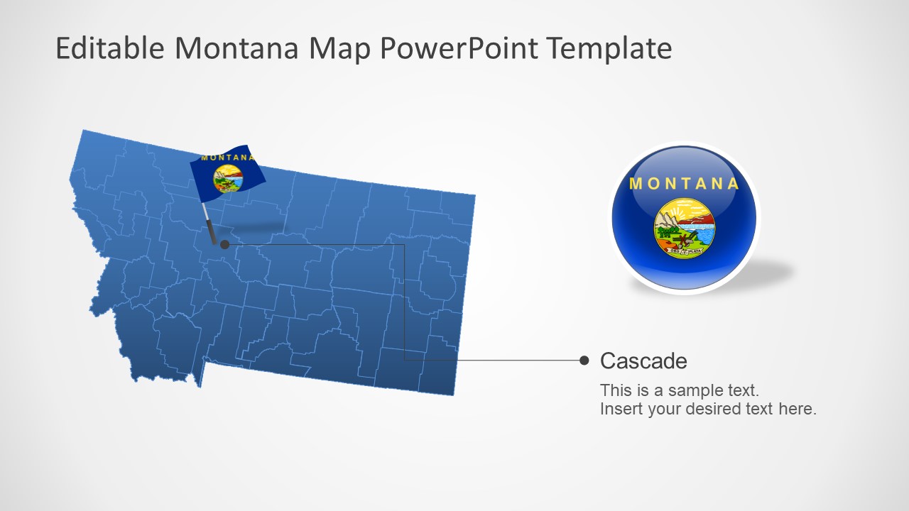
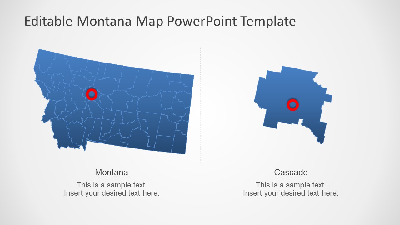
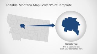
The Montana US State PowerPoint Map is designed to provide editable segments of Montana’s 56 counties. This presentation offers two ideas of how you can highlight the counties of Montana by creating a zoom effect. These slides of the editable Montana maps could be used for a range of professional and educational presentations. For instance, presenting the visual report of business success in different counties of Montana.
