Simple Gray Outline Map PowerPoint
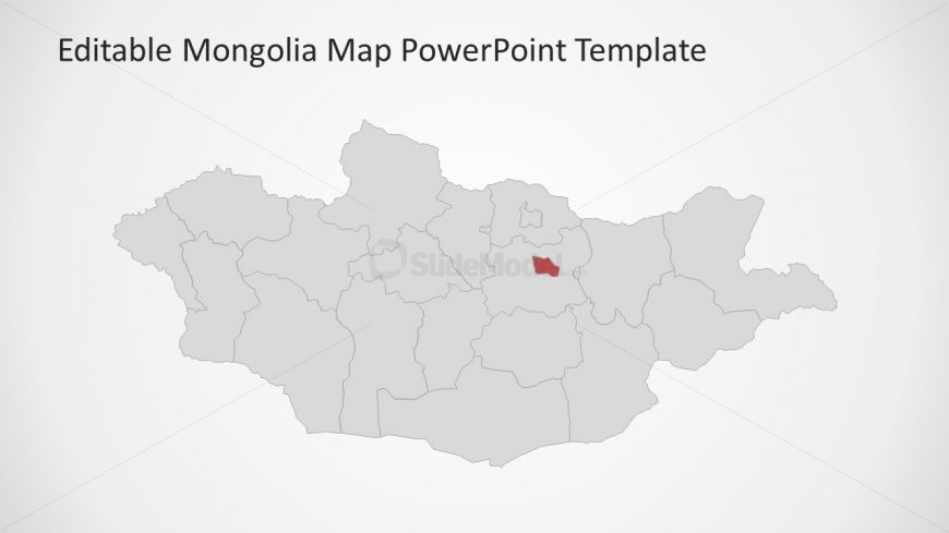
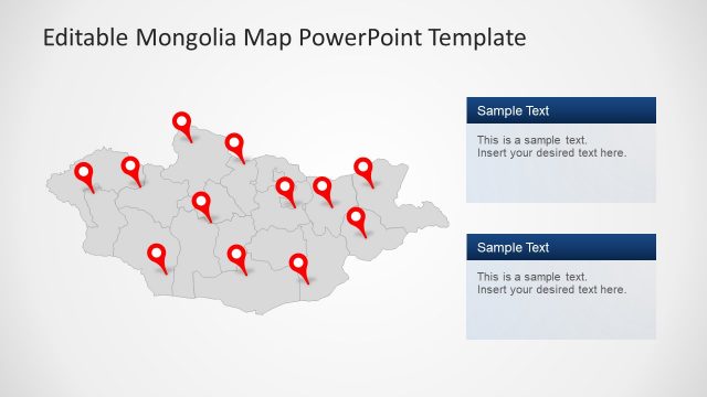
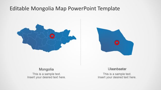
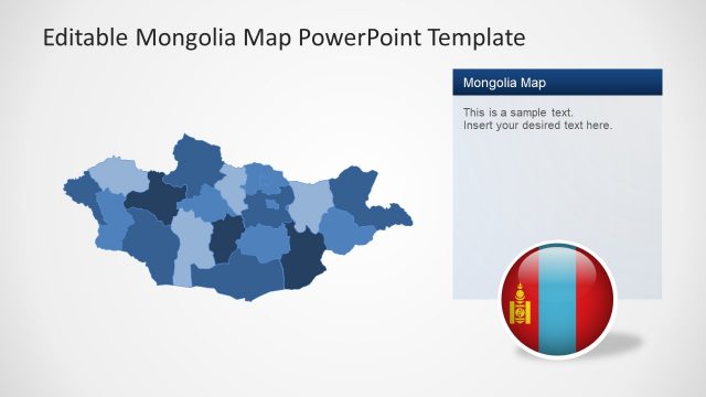
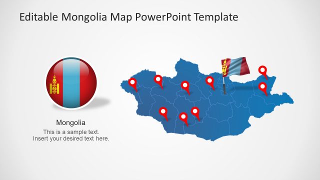
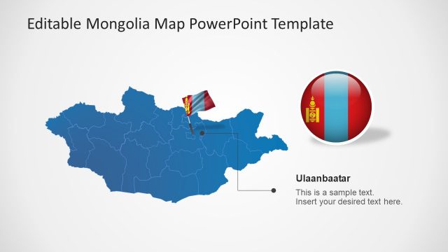
The Simple Gray Outline Map PowerPoint is a geographical slide for Mongolia using the gray shapes and darker outlines. The editable map PowerPoint gives another design option to the users to highlight capital city. Similarly, change the color of other provinces can help in presenting statistical analysis. For example, use range of colors to define highest to lowest value for any analysis. This may include the demographic data like population, literacy rate, economical survey etc. Hence, the customizations help users in several presentation topics. These customization options are available in drawing format menu.
Return to Mongolia Map PowerPoint Template.
Download unlimited PowerPoint templates, charts and graphics for your presentations with our annual plan.
DOWNLOADReturn to Mongolia Map PowerPoint Template.
