Minnesota US State PowerPoint Map
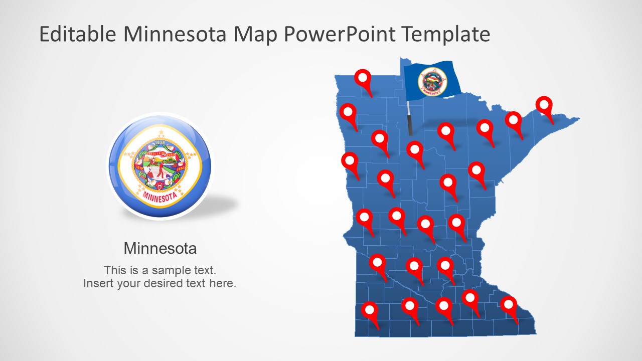
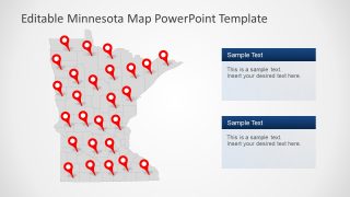
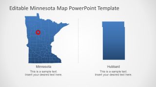
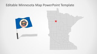
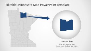
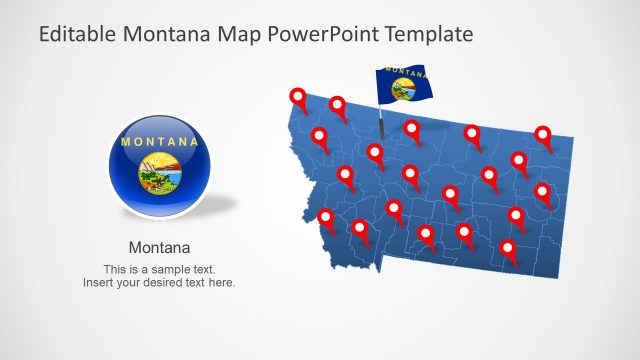
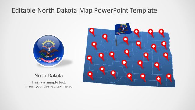
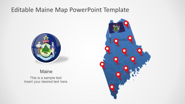
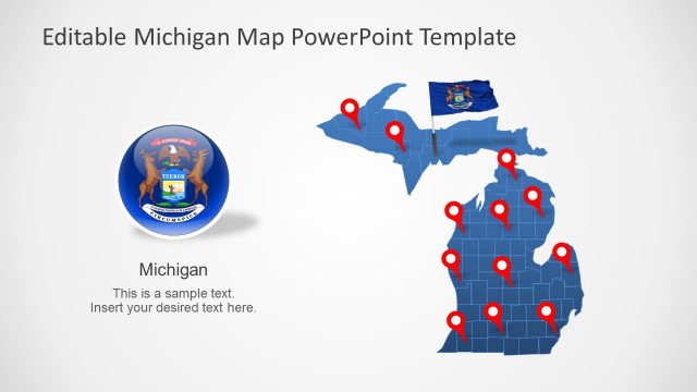
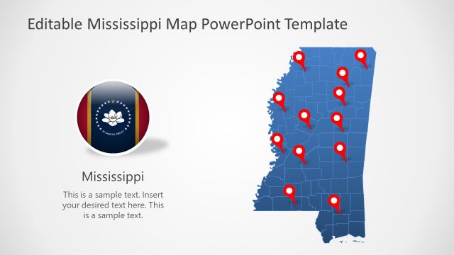
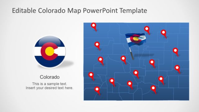
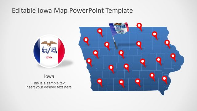
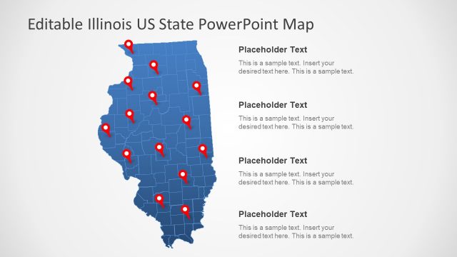
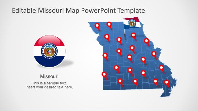
The Minnesota US State PowerPoint Map presents seven slide designs of Minnesota silhouette maps. These slides offer blue and gray maps of Minnesota containing editable 87 counties of the state. The SlideModel Map templates also include additional shapes to support the presentation content. Such as location markers, State flags, and zoom-in county maps.
Minnesota is one of the 50 States of the United States of America. It is famous for its lakes as it is located in the western part of Great Lakes Region. Minnesota borders with Canadian province of Ontario. In the north, it borders with North Dakota and South Dakota, Iowa in south, and Wisconsin and southeast.
The Minnesota US State PowerPoint Map is useful for presenting geographical concepts. The topics that involved regional discussion about Minnesota can benefit from silhouette maps. Because these map templates could be customized to discuss various ideas. For example, educational presentation about demographics, culture, economy, history, or climate of Minnesota. You can easily change the colors of each county or move location markers to highlight a specific area.
The outline maps PowerPoint templates of Minnesota are also useful for presentations on international forums. You can download editable US States map template to complement Minnesota. These are the functional maps to promote development projects, local businesses, and tourism in North America.
