Iowa US State With Counties PowerPoint Map
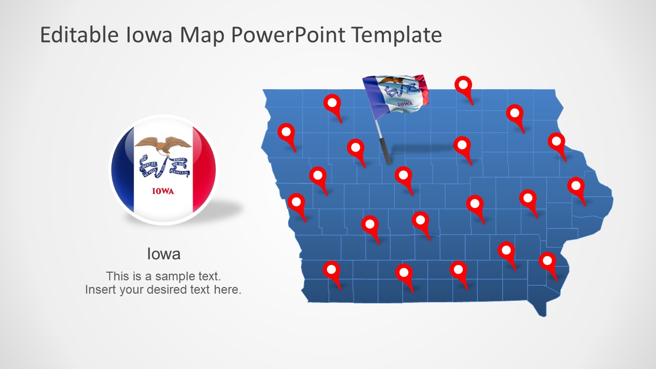
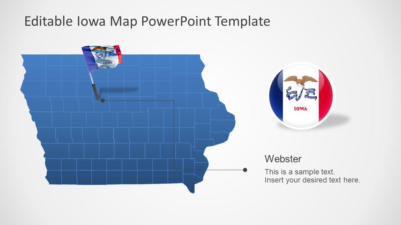
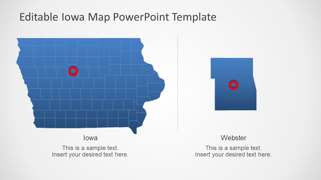
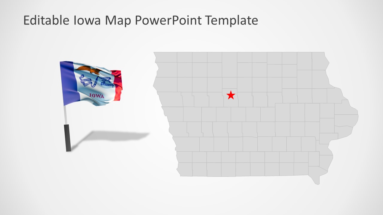
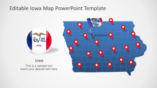
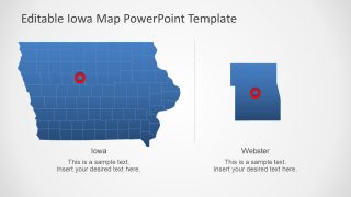
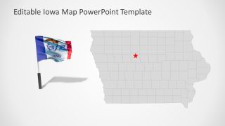
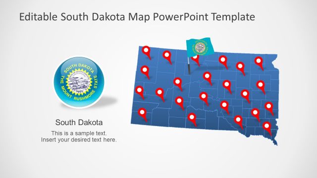
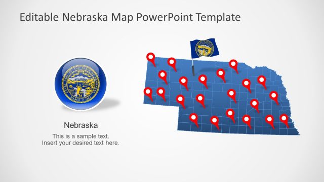
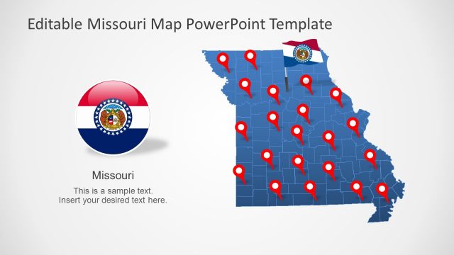
Iowa US State With Counties PowerPoint Map – This is an outline map template for USA State. Iowa, one of 50 states of America borders Minnesota, Missouri, and South Dakota. It is a Midwestern landlocked U.S. State. It is known for its rivers, lakes, and agricultural lands. The detailed map of Iowa with boundaries and major cities will assist users to present regional topics. Because maps will not only engage audience with appealing graphics but also provide informative geographic insights. Therefore, these PowerPoint templates of USA state maps are ideal for discussing infrastructures, highways, railways, tourism, history, and more.
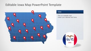
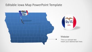
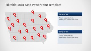
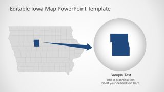
The PowerPoint template of Iowa is a collection of 7 flat editable maps. These maps are made up of individual silhouette shapes for each county of Iowa. Further, these counties of USA states are outlined to highlight administrative division. This template offers blue and gray color maps that users can copy according to presentation theme or PowerPoint background. The users can also change these colors from PowerPoint format menu and personalize slice contents. Such as, move or replace location markers, customize flag pole or button, and add textual content in placeholders. Furthermore, these map templates can open in google slides themes.
The Iowa US State with Counties PowerPoint Map will help business professionals to creatively display regional aspects. These maps can demonstrate ideal for marking locations to business opportunities. Similarly, educate audience about history and geography of Iowa with the help of map templates.
