Idaho US State With Counties PowerPoint Map
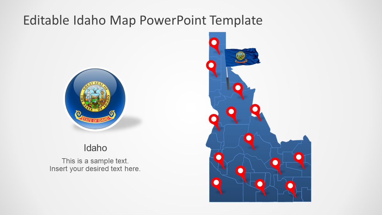
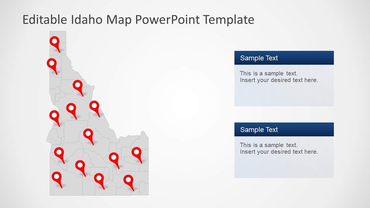
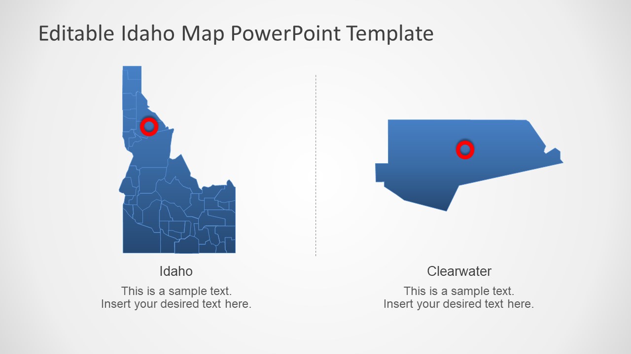
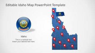
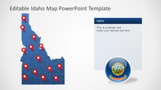
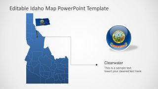
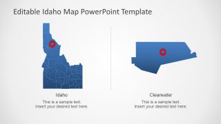
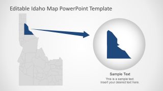
The Idaho US State With Counties PowerPoint Map is a 7 slides template of US State maps. The template shows seven versions of Idaho map outlining all counties. These counties are individual elements join to create a complete state map. These are high-quality flat silhouette segments of county maps, provide complete picture of Idaho State. The individual segments of counties will help presenters to customize template for a personalized effect. For instance, users can color code different counties, add gradients, or apply a color theme to the overall presentation. It is a visual aid for presenting geography related topics.
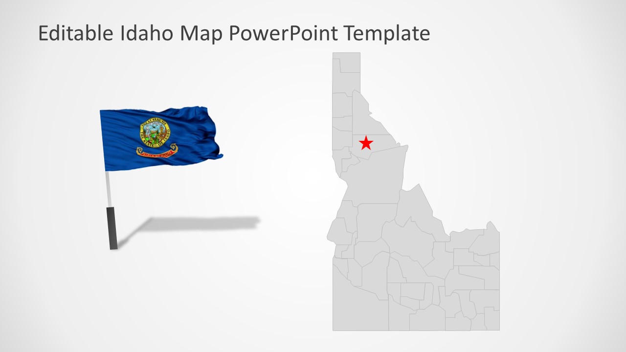
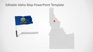
Idaho is a northwestern state of the United States. It borders with Washington and Oregon in west and Montana and Wyoming in East. The Map of Idaho is can demonstrate a wide range of regional topics. For example, business opportunities in Idaho, marking franchises, tourism, research statistics, and community projects. This template can also help highlight major cities or capital of Idaho using location markets. Because this editable map template includes GPS location marker and flag clipart to support presentation content.
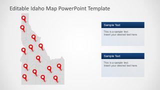
The Idaho US State With County PowerPoint Map offers 7 slides, outlining all counties of Idaho. The blue and gray silhouette maps will let users create professional maps for international presentations. Similarly, the editable counties in Idaho map template could be helpful in school geography presentations.
