Globe Clipart PowerPoint Template Design
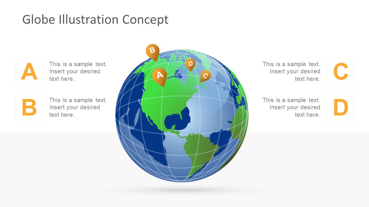
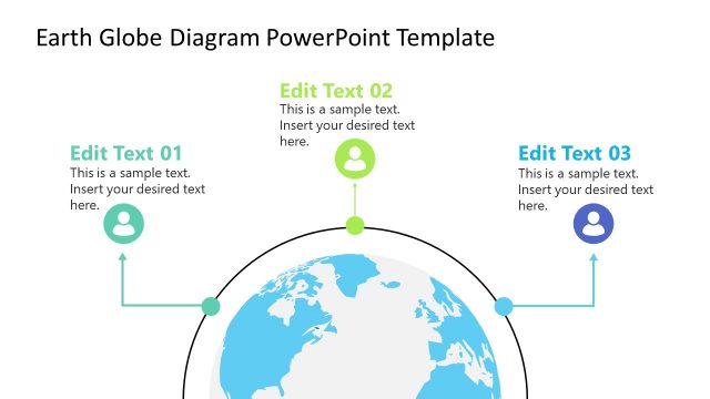
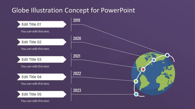
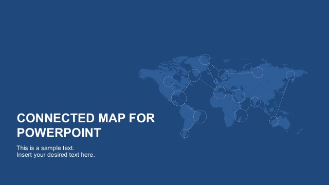
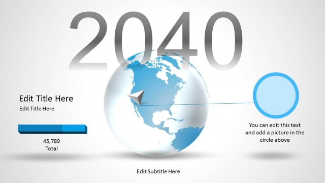
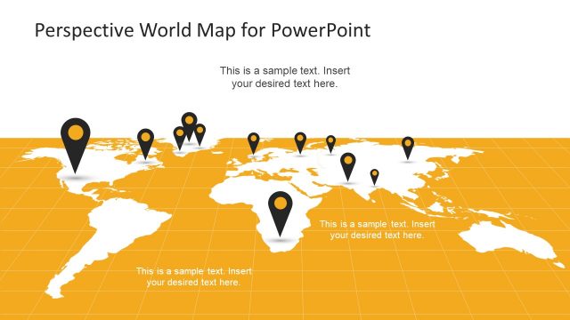
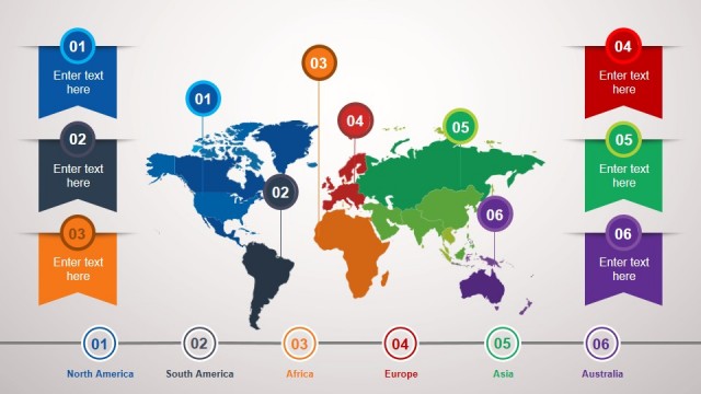
The Globe Clipart PowerPoint Template shows a highly detailed world map template as a globe spin. This map presentation can be used to show international businesses, world geography, travelling opportunities and eLearning presentation of geography. The template of earth surface shows all the continents cartography such as Africa, Asia, Australia, Europe and America. This PowerPoint demonstrates positioning and labeling of seven continents and five oceans, equator and prime meridian to identify Northern, Southern, Eastern and Western Hemisphere. The maps help to make sense of the enormity of our geography.
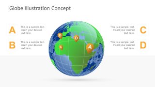
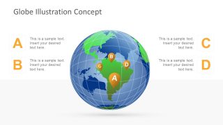
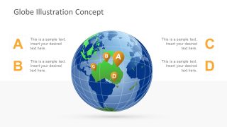
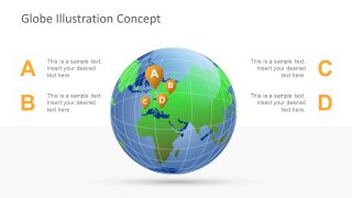
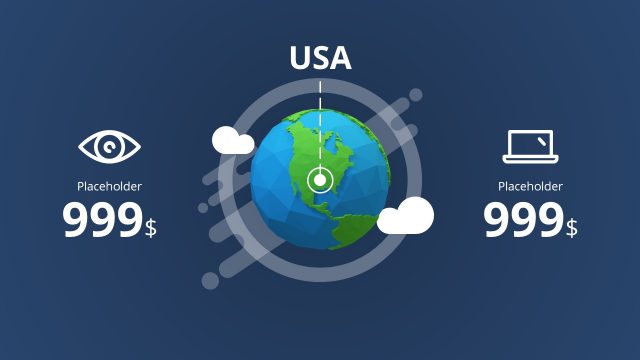
The Globe Clipart PowerPoint Template has six slides showing geographical image of all the continents as they appear on globe. The PowerPoint slides contain green shapes as land and blue as ocean on the face of earth, however the template also displays global latitude and longitude which is a universal coordinate system to pinpoint any location on world map. On every slide map, there are four location pin icons with text placeholders on all four slide corners to add details. This feature can be used to show routes, directions or locations in map for the favorite places or favorite destinations for vacation or business travel.
The template itself is designed in PowerPoint shapes which are editable, aiding an easy access to modify or copy them in another presentation. These can be customized to suit the presentation requirements, for example, changing color of regions, enlarging a portion of area, compress or enlarge entire world globe clipart or adding visual elements like text fields, SmartArt and icons.
