Editable South Sudan Map for PowerPoint
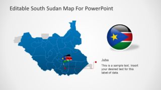
The Editable South Sudan Map for PowerPoint is an outline map template for an African country. This presentation shows the political map of sovereign state that gained independence in 2011. South Sudan, is officially known as the Republic of South Sudan and it borders Ethiopia, Kenya, Uganda, Congo, and Central Africa Republic. The editable map template of South Sudan can help represent regional business and social concepts. More importantly, these map slides could assist professionals to represent country’s political agenda on international forums. Such as international non-profit funds seminars where maps can help display regions affected by disasters. Or, present the business opportunities in various regions of Sudan.
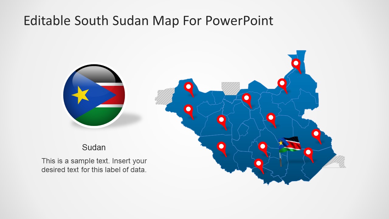
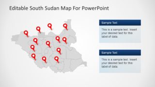
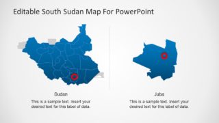
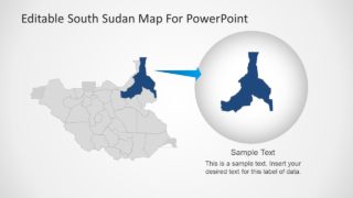
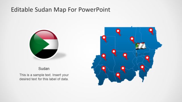
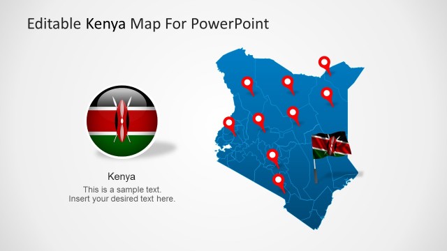
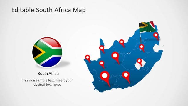
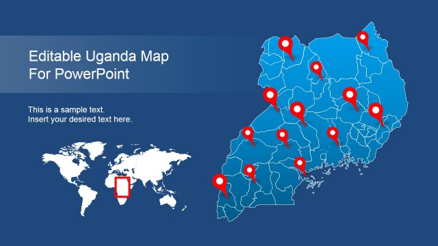
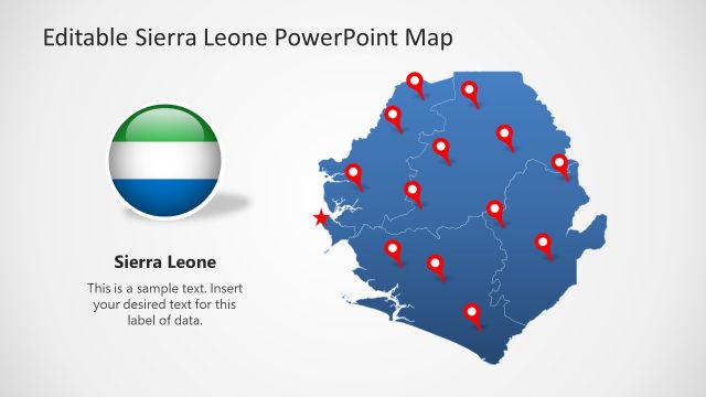
The map template of South Sudan contains 7 slides with different design variations. These maps are editable silhouette shapes containing individual segments for 32 states of South Sudan. This is a latest Sudan Map that includes individual outline maps of all 32 states recognized in 2017. Therefore, users can highlight these individual states by changing colors and marking regions. Because this PowerPoint template of maps provides location pin markers and flag clipart icons to represent geographic locations.
The Editable South Sudan Map for PowerPoint originally contains two colors for silhouette maps i.e. blue and gray. The users, however, can change these colors from shape fill option in format menu bar. Furthermore, the slides include text placeholders to add textual information about South Sudan presentations.
