Editable Rwanda PowerPoint Maps
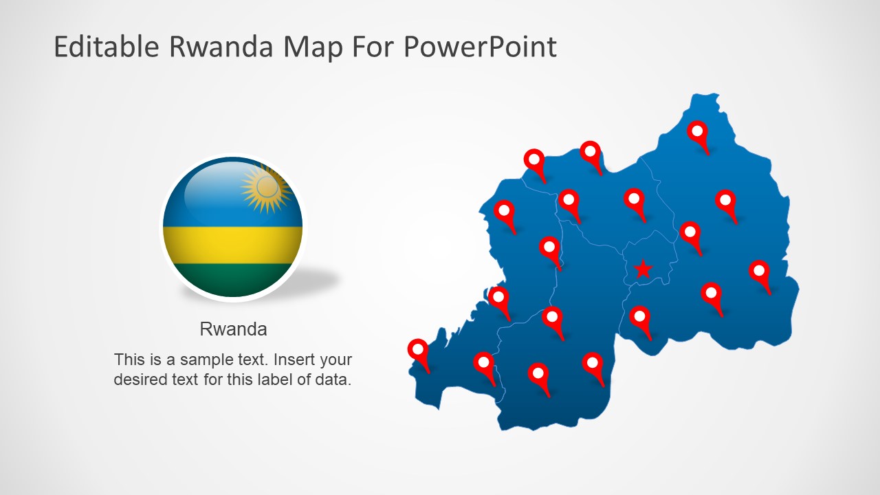
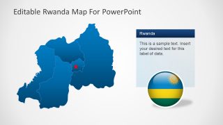
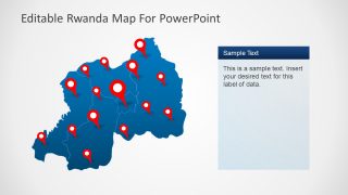
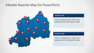
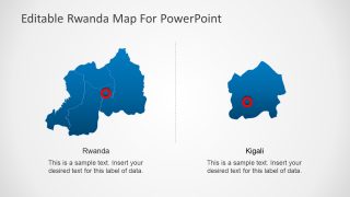
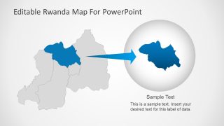
The Editable Rwanda PowerPoint Maps presents geographical silhouette maps of country in East Africa. There are seven editable map templates of Rwanda to present regional topics. Maps will help communicate those regional topics while providing useful visuals. The country itself is divided into four provinces. This template contains editable shapes of each province together creating a complete map of Rwanda.
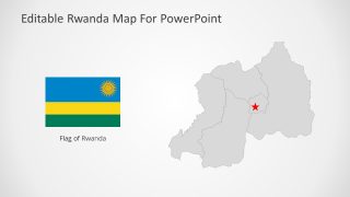
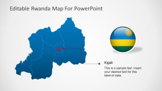
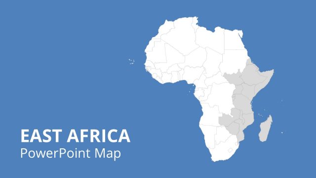
The Republic of Rwanda is a sovereign nation in East Africa. It shares borders with four counties i.e. Uganda, Tanzania, Burundi, and Democratic Republic of the Congo. The capital of Rwanda is Kigali which is marked with star icon in SlideModel map templates. Rwanda is famous for its breath-taking sceneries, nature reserves, museums, and wildlife.
The Editable Rwanda PowerPoint Maps are useful for presenting educational topics. For example, the geography lessons, history, climate, politics, economy, and much more. For business or tourism purposes, the maps of Rwanda could help highlight various regions and demographic statistics of target market.
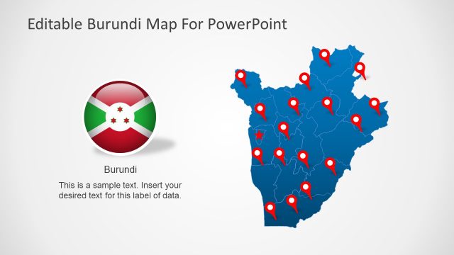
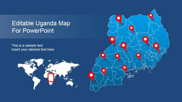
The PowerPoint templates of Rwanda outline maps are fully editable. Therefore, users can change the colors, PowerPoint backgrounds, and resize maps. The additional contents such as flags and location marker icons will help users pinpoint certain locations. Moreover, resize any province section to put focus of audience on the specific area.
