Editable Puerto Rico Map Template for PowerPoint
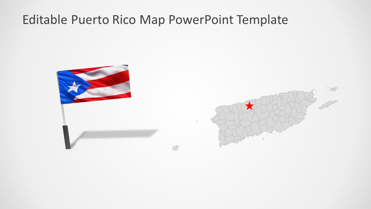
The Editable Puerto Rico Map Template for PowerPoint is an editable presentation of silhouette map. Puerto Rico is an unincorporated territory of the United States. It is located in northeast Caribbean Sea, southeast of Florida. The template of Puerto Rico map contains 7 slides of high-quality map shapes. Therefore, users can copy any slide design to outline Puerto Rico locations. These slides will help label municipalities and major cities. Because the map contains editable units of each municipality. Such as San Juan, Bayamon, Carolina, and Ponce.
The silhouette maps outlining municipalities are useful for demonstrating geographical and statistical data. It could assist professionals to display business opportunities and regional market preferences through maps. Similarly, the map template of Puerto Rico can also help describe geographical properties of country during educational presentations.
The Puerto Rico PowerPoint Map contains a collection of editable municipalities into complete map of county. Therefore, it is easier to customize each shape individually for a creative outlook. For instance, apply color codes to discuss different statuses of each municipality. Or, change an entire color theme from design menu in PowerPoint.
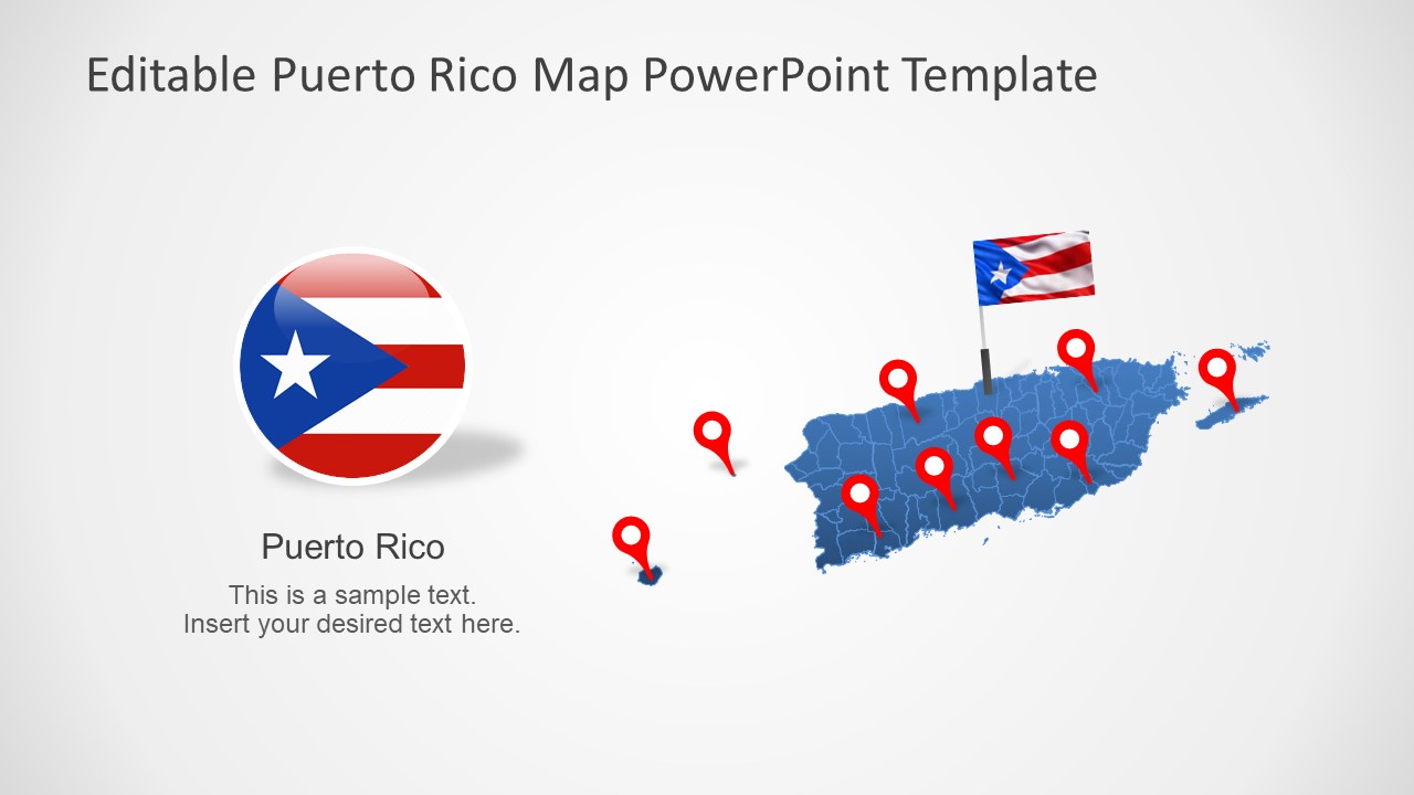
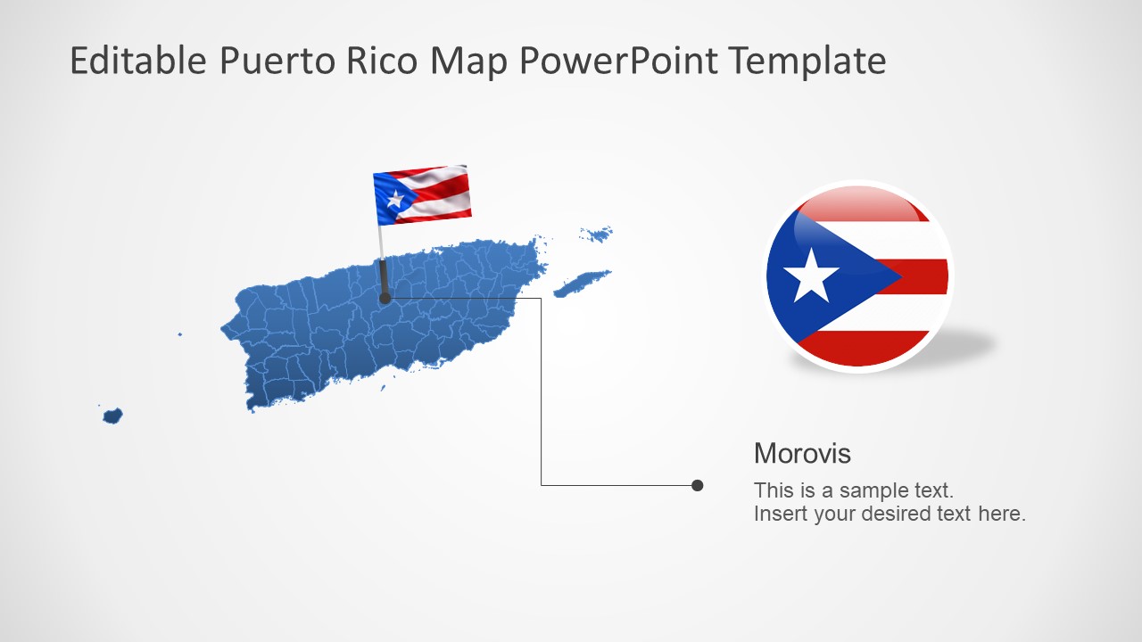
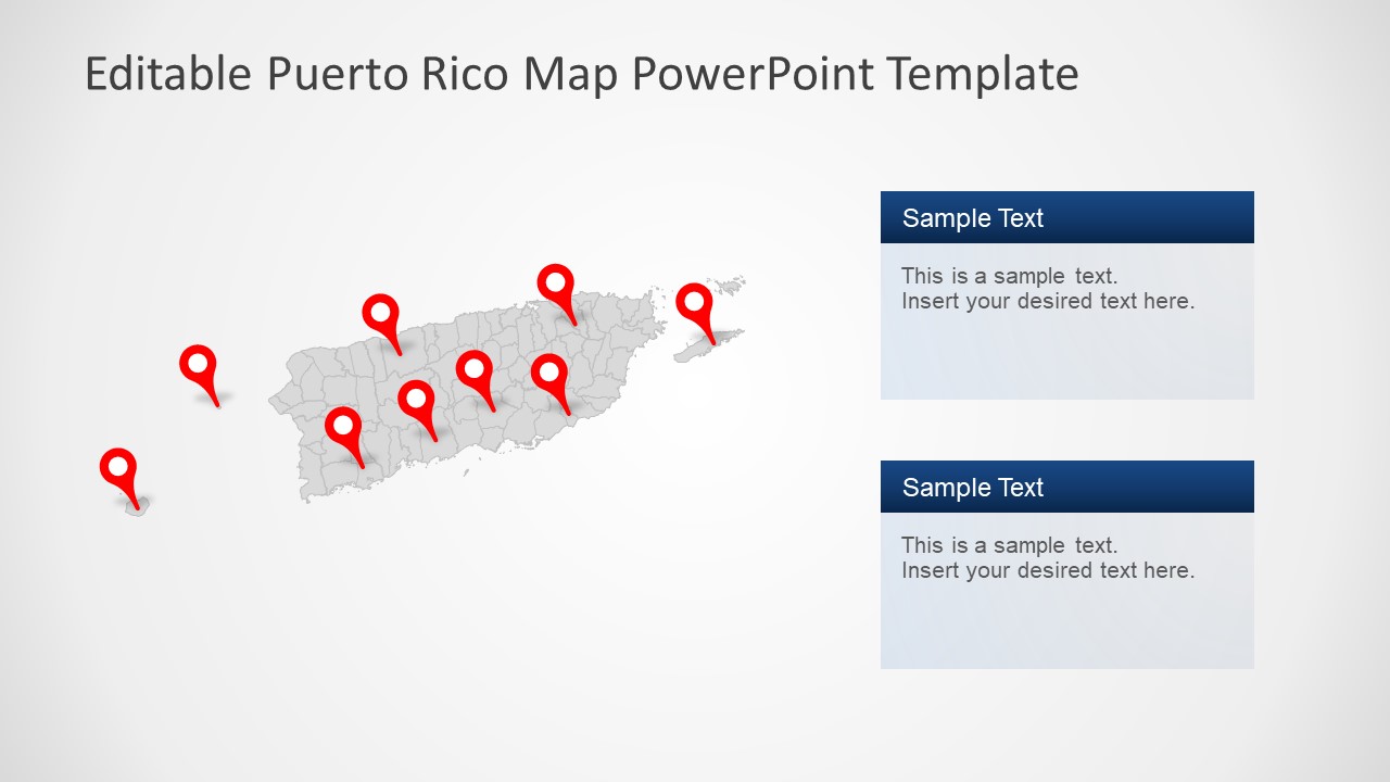
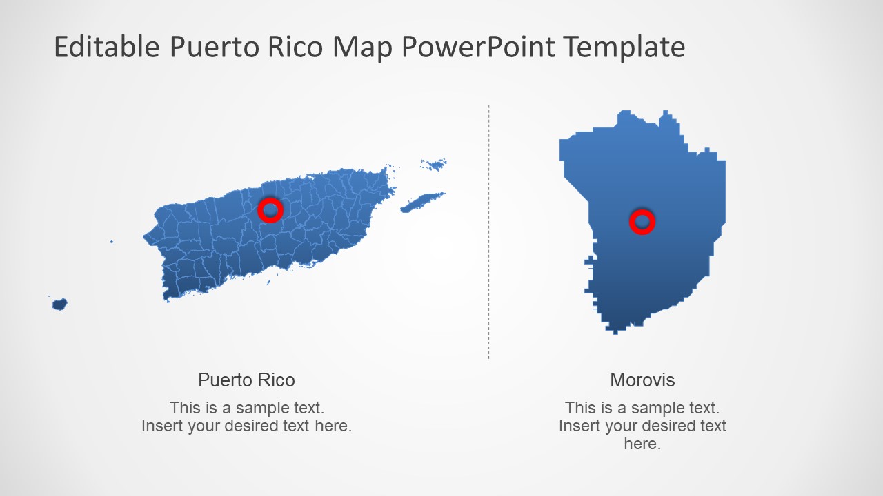
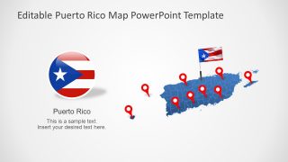
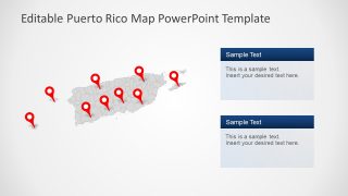
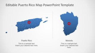
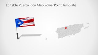
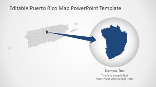
The map template of Puerto Rico includes location pins and flag clipart icons to highlight each multiple sections. Each slide offers a different layout design with map and text placeholders. However, there are two slides with zoom presentation style of maps. It could help highlight different areas of country as a part of whole.
