Editable Liberia PowerPoint Map
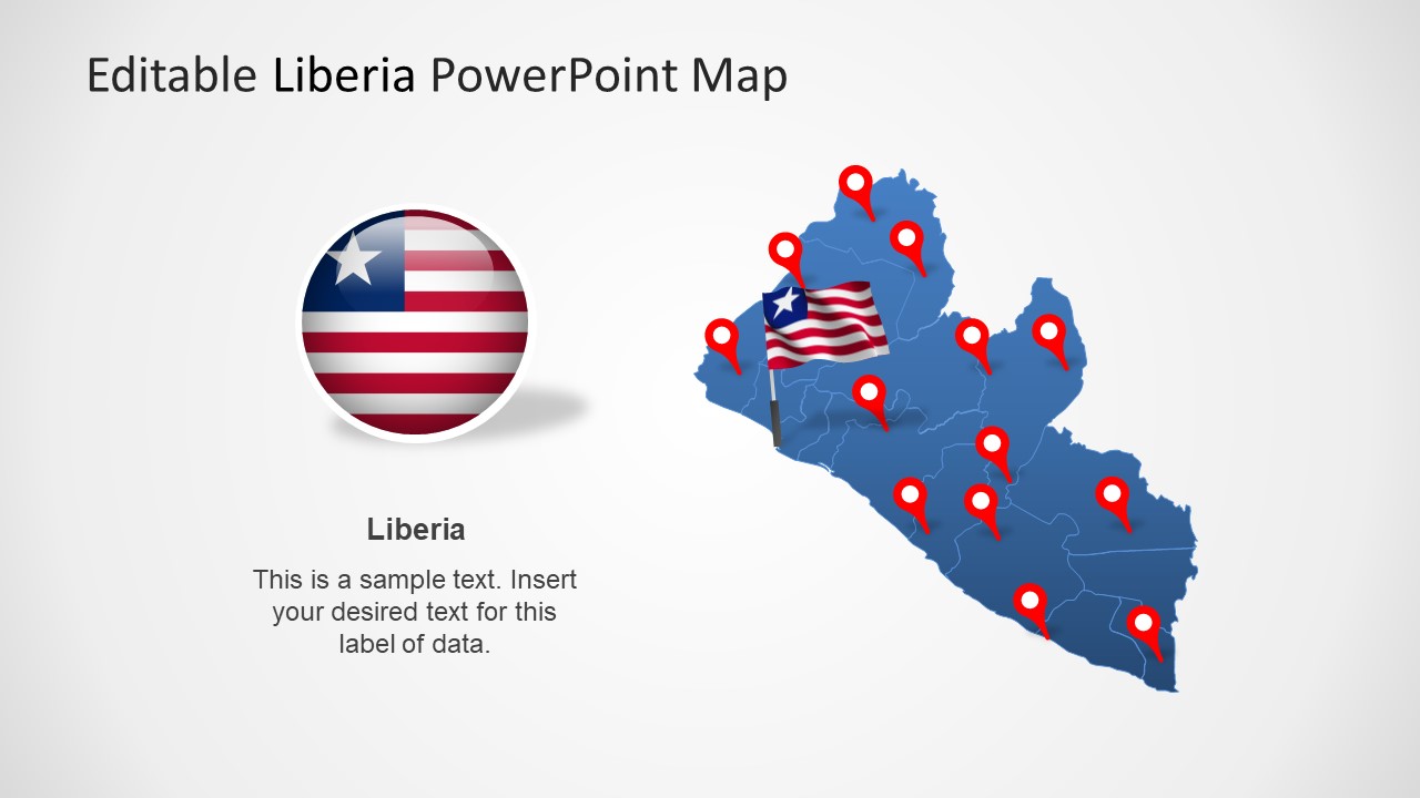
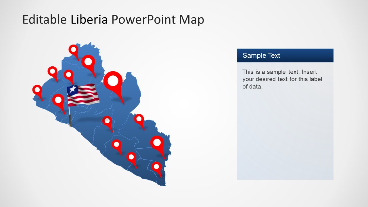
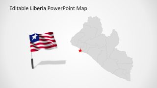
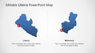
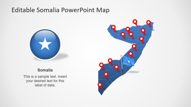
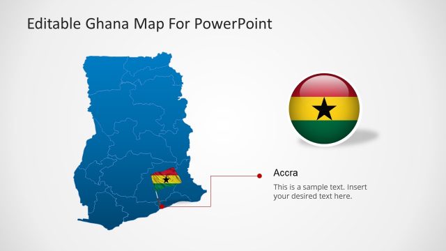
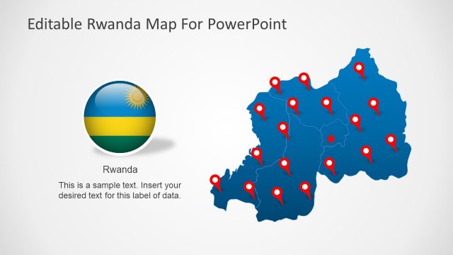
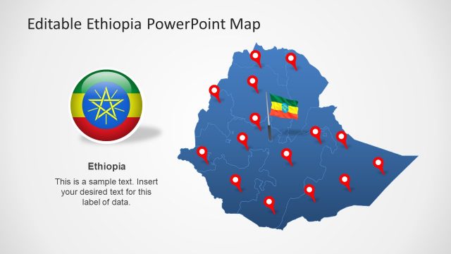
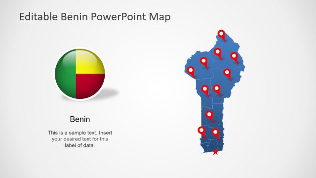
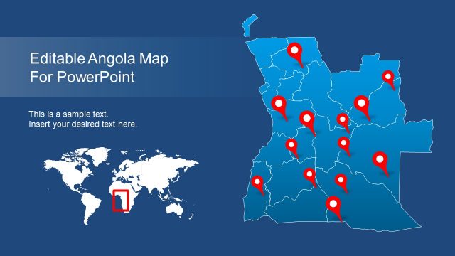
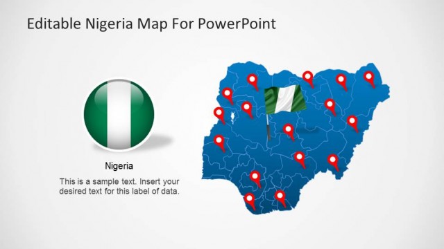
The Editable Liberia PowerPoint Map template presents eight slides of Liberia administrative districts and cities. This template presents silhouette PowerPoint shapes for the geographic region of Liberia. There are 15 editable shapes join to create a complete map of Liberia. These editable PowerPoint maps could be used in a wide range of presentations involving regional concepts. For example, presenting multiple locations and headquarters of the company for marketing purposes. Likewise, the editable maps can help visualize climate or growth topics using outline maps as reference.
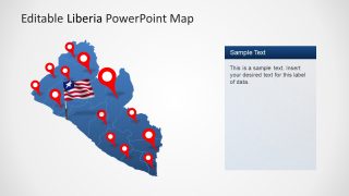
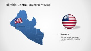
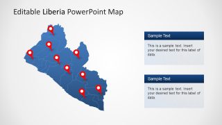
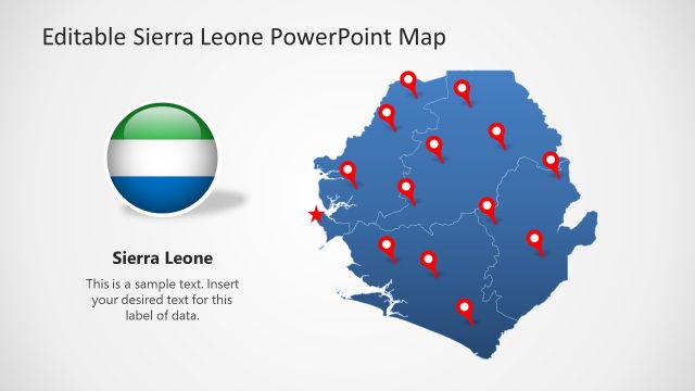
Liberia is a West African country bordering Sierra, Leone, Guinea, and Ivory Coast. The country is known for its national museums, rich culture, and history. Liberia is also home to palm-lined beaches, beach towns, and strong surf. The SlideModel template highlights capital cities and provinces with location marker shapes. Moreover, these slides offer flag icons for the nation’s identity at international forums.
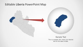
It is a political boundary map, ideal for educational and reporting presentations. For instance, visually representing a demographic survey of economic statistics using maps. The users can change colors of each province in the country to describe each region through color codes. Editable Liberia PowerPoint Map also includes two slides of zoom format highlighting city and province. You can create a similar slide by resizing map shapes.
