Editable Jamaica Map PowerPoint Template
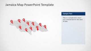
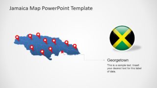
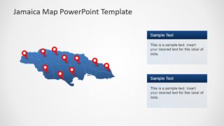
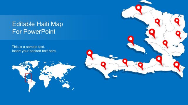
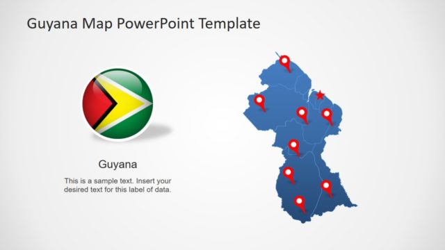
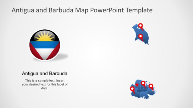
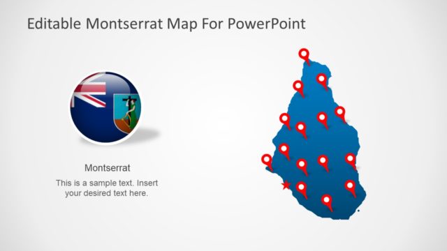
The Editable Jamaica Map PowerPoint Template is a geographic presentation of country. It is an outline map template of Jamaica which shows multiple slide designs. These slides are set of silhouette shapes connected in a way that creates a complete map of Jamaica. Originally, the template provides blue and gray color fill outline maps. But users can customize this template by changing colors and additional effects. Therefore, these slides could be used for various professional and learning concepts. Such as demographic surveys of country’s socio-economic growth or discussion about a concentrated target market.
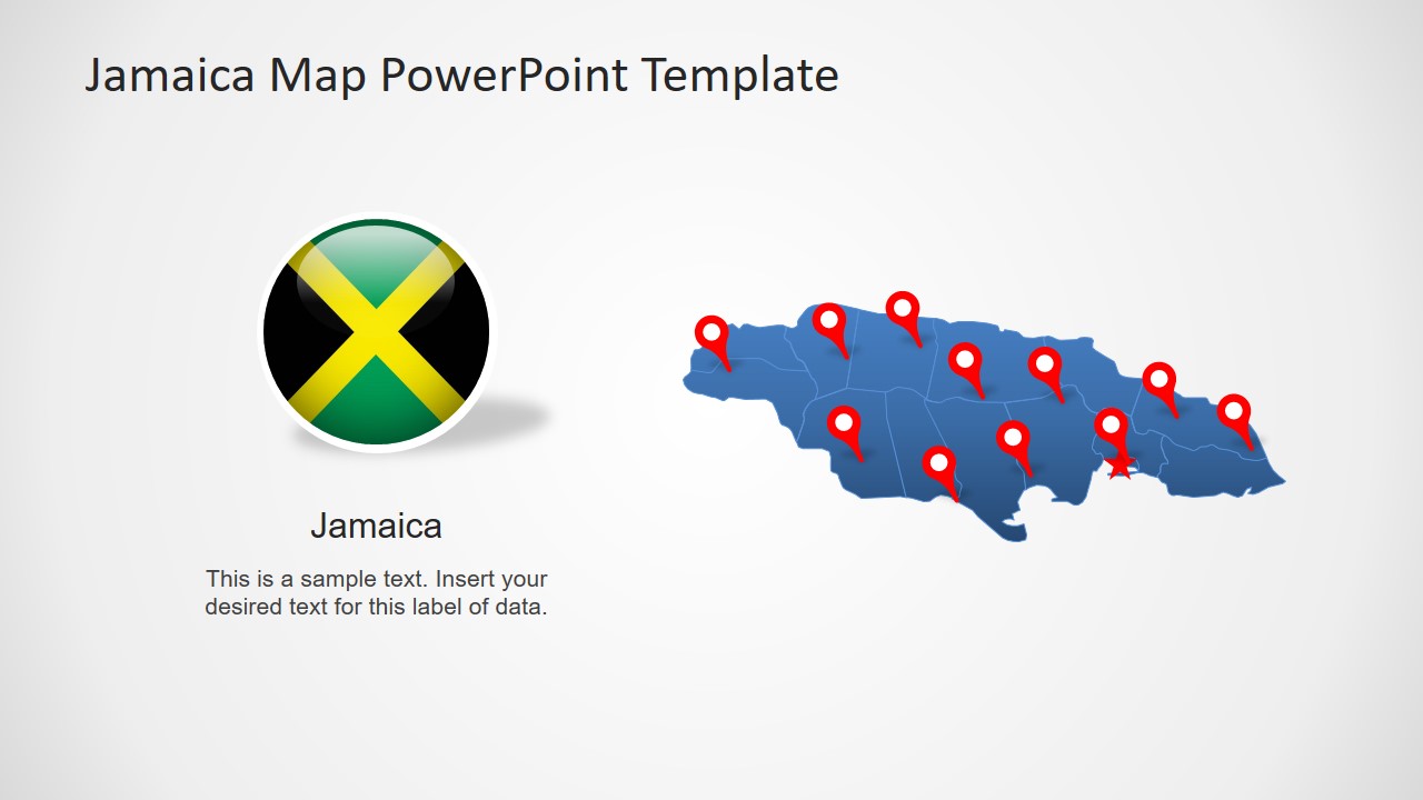
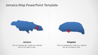
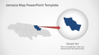
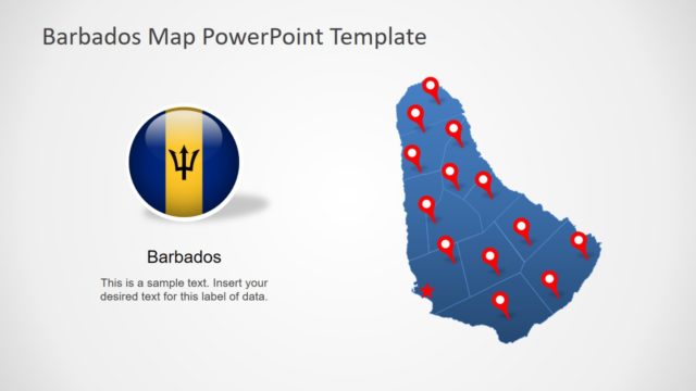
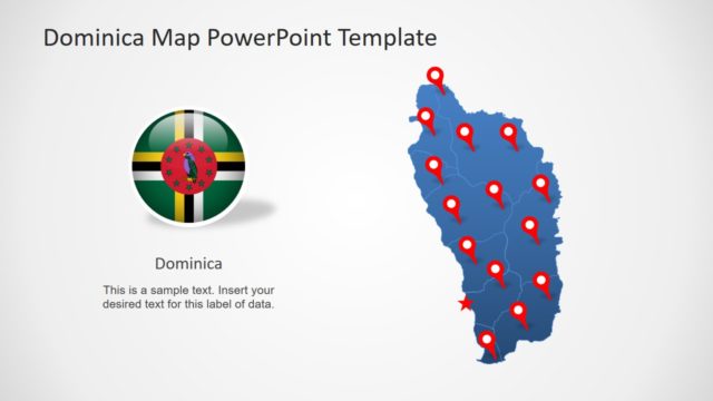
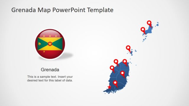
The map of Jamaica in PowerPoint template contains 8 slides of flat silhouette shapes. It further includes high-quality flag of Jamaica and multiple location markers to pin-point specific regions. There are slides with text placeholders and labeling lines to highlight useful textual content. Whereas, the last two slides of map template, however, display rescaled administrative units of Jamaica. These slides are helpful for concentrating on a particular area.
Jamaica is an island country situated in Caribbean Sea of North America. It is the fourth-largest country in Caribbean, neighboring Cuba, Haiti, and Dominican Republic. The country is divided into 14 administrative divisions i.e. parishes. This editable map template of Jamaica outlines these 14 parishes of Jamaica. Although, maps will improve the out-look of business and marketing presentations at public forms. But slides are highly suitable for school geographic lectures.
