Editable Haiti Map with States
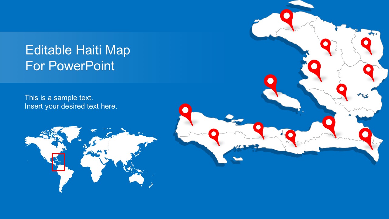
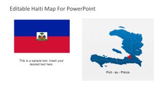
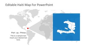
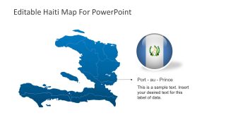
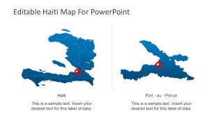
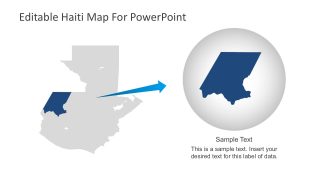
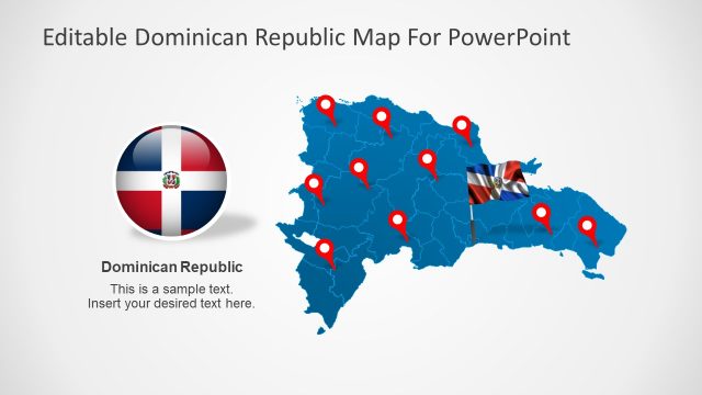
Editable Haiti Map with States for PowerPoint. Haiti is a Caribbean country that shares the island of Hispaniola with the Dominican Republic to its east. This template map features a flat Haiti Map outline with the regions and capital city. Haiti Map is suitable for sales territories and travel planning presentations. Otherwise, best for various purposes like presentations in geography, people, and new business locations.
This Haiti Map template is customizable. Each shape is 100% editable vectors. For example, edit each property of any region or states including color, size, and shading.
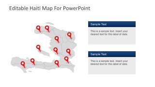
Users can edit the slides to help build an effective PowerPoint presentation. Thus, easily add text to the PowerPoint map. Select and pull the states and territories apart. Group or ungroup the map sections. Change the shape outline. Either, edit the color to highlight a region, or update the full-color palette and layout to match the needs.
Consequently, see more PowerPoint Maps. This high quality, editable PowerPoint country maps have been carefully built to display the location and geographic details in PowerPoint. Choose a template that suits the purpose best. Customize them in a few steps. And finally, deliver awesome presentations to highlight a sale or business pitch.
