Editable Grenada Map PowerPoint Template
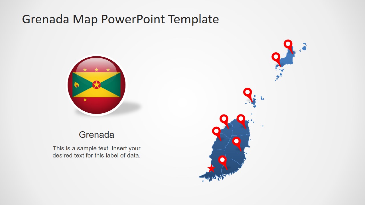
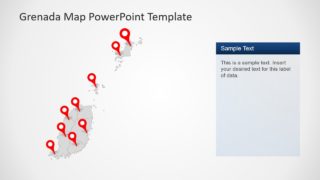
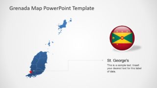
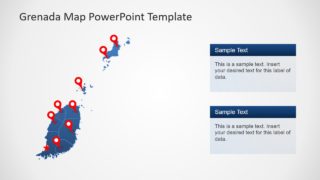
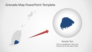
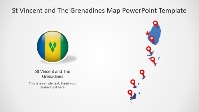
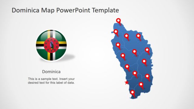
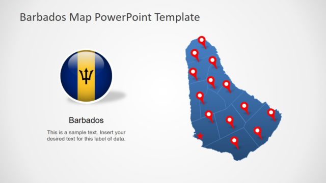
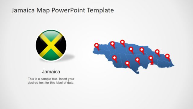
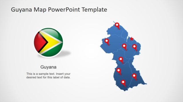
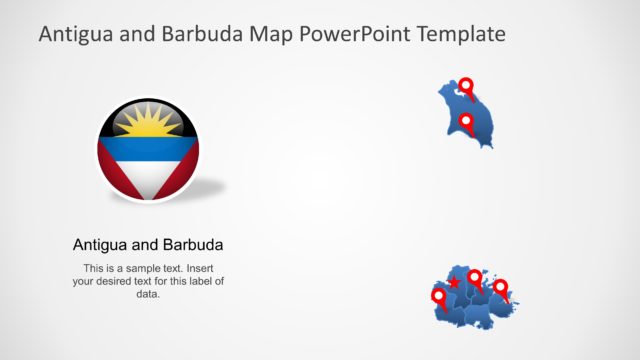
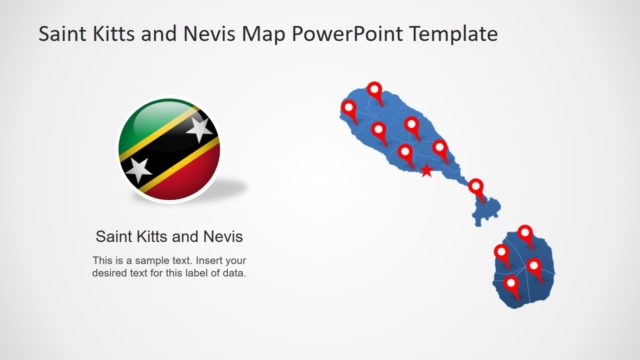
The Editable Grenada Map PowerPoint Template is a professional layout of country’s geographic area. Grenada is a sovereign state of small islands in the West Indies of Caribbean Sea. The PowerPoint template of Grenada map contains 8 slide variations. These slides offer different styles of silhouette map clipart, flags, and location markers. Apart from editable maps, the additional clipart icons are suitable tools to support presentation content. For example, location pins are helpful to highlight regions, pin-point, and label. The template of Grenada map could be used for facts and geography learning presentation. For example, discuss country’s production of nutmeg and mace. Because it is known as the “Island of Spices”.
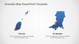
Grenada map template show 6 parish segments and smaller units of islands. These are editable units, therefore, it is easier to customize and reuse them. For example, change the size of any segment and drag a location pin to highlight it. The slides of text placeholders enable users to insert useful presentation details. In this way, users can demonstrate various topics relevant to states, cities, and state capital. The last two slides of Grenada map provide similar designs by resizing images and depict zoom feature of PowerPoint.
The Editable Grenada Map PowerPoint Template can make any professional and casual presentation more attractive. The standard blue and gray silhouette shapes are fully editable. This can help users to make colorful or single color outline map presentation. Also, check out our maps of individual states and territories of America and Latin America.
