Editable Croatia Map Slide Template
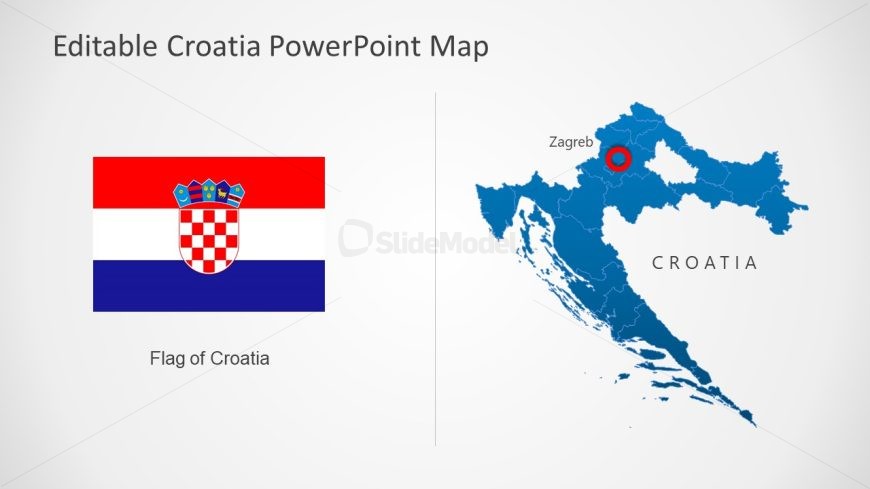
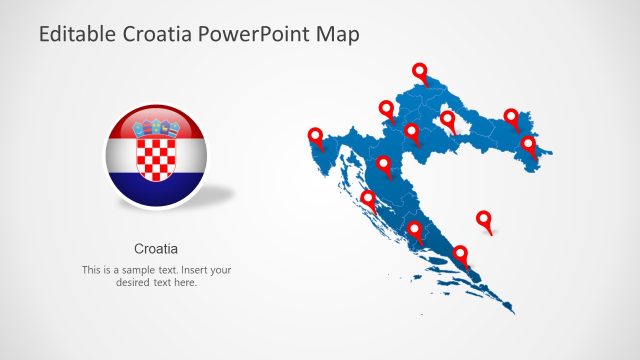
The image portrays a PowerPoint slide titled “Editable Croatia PowerPoint Map.” On the left side of the slide, there is a large depiction of the flag of Croatia, with its horizontal stripes of red, white, and blue, and the distinctive red and white checkered shield in the center, topped with a crown that has five smaller shields. The text below the flag states “Flag of Croatia,” clearly identifying the national symbol.
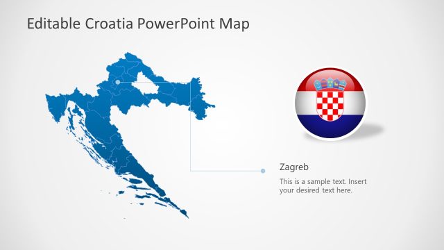
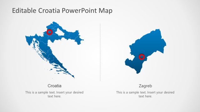
On the right side of the slide, a stylized map of Croatia is presented in a deep blue color. A red circle marks the location of Zagreb, the capital city, clearly indicating its significance. The country’s name, “CROATIA,” is labeled in bold, capitalized letters, placed to the lower right of the map, ensuring easy identification of the country’s outline.
The layout is simple and direct, with a balanced composition that allows for focus on both the flag and the map. The slide is designed for versatility and can be edited to fit various presentation needs.
This slide could serve multiple purposes, such as in educational settings for teaching geography, in business presentations highlighting corporate presence or potential market areas in Croatia, or in tourism where the map could be customized to show destinations or routes. The clear distinction between the flag and the map also makes it suitable for diplomatic or cultural presentations that aim to introduce Croatia.
Return to Editable Croatia Map Template for PowerPoint.