Editable Barbados Map PowerPoint Template
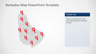
The Editable Barbados Map PowerPoint Template is a flat vector presentation for country’s geographic and demographic concepts. It is an 8-slide template of silhouette shapes providing several versions of similar maps by outlining administrative regions. The template is suitable for all type of regional presentation. Such as tourism, geography lecture, business marketing, demographic survey’s, and global representation. Especially, in political presentations to display Barbados socio-economic growth on international platforms. This template lets users create applaudable presentation effortlessly by labeling different regions of the country.
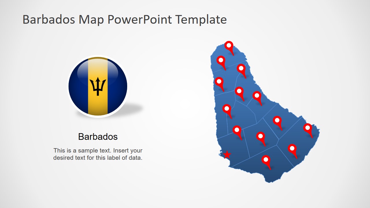
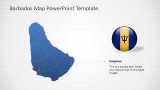
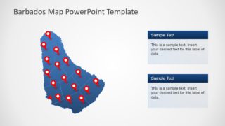
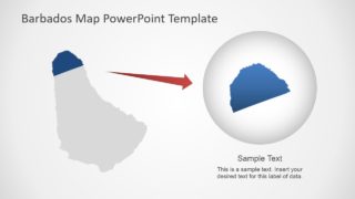
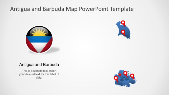
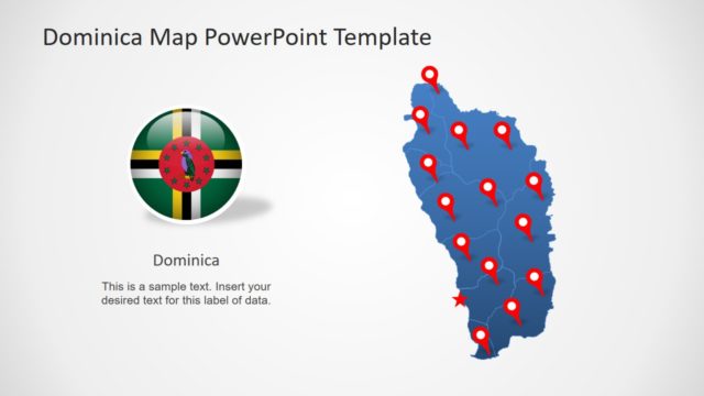
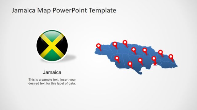
Barbados is North American Island country of West Indies in Caribbean region. It is one of the largest tourist destinations due to its tropical climate. The PowerPoint map template of Barbados contains individual outline shapes of 11 administrative division i.e. Parishes. These parishes together create a perfect illustration of the Barbados Map. Further, this presentation includes high-quality flag image and location marker icons. These elements will help enhance the graphics of map PowerPoint.
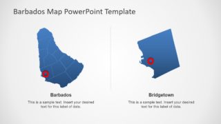
The Editable Barbados Map PowerPoint Template is a dynamic custom set of ready-to-use slides. The PowerPoint offers quick and easy options for customizing slides and maps. These customizations include changing outline and solid fill of silhouette maps. The users can either change colors of individual parishes or complete map. Moreover, gradient effect could help create a realistic view to discuss climate changes. And the last two slides highlight capital city and parish by resizing map segments.
