Editable Bangladesh PowerPoint Map
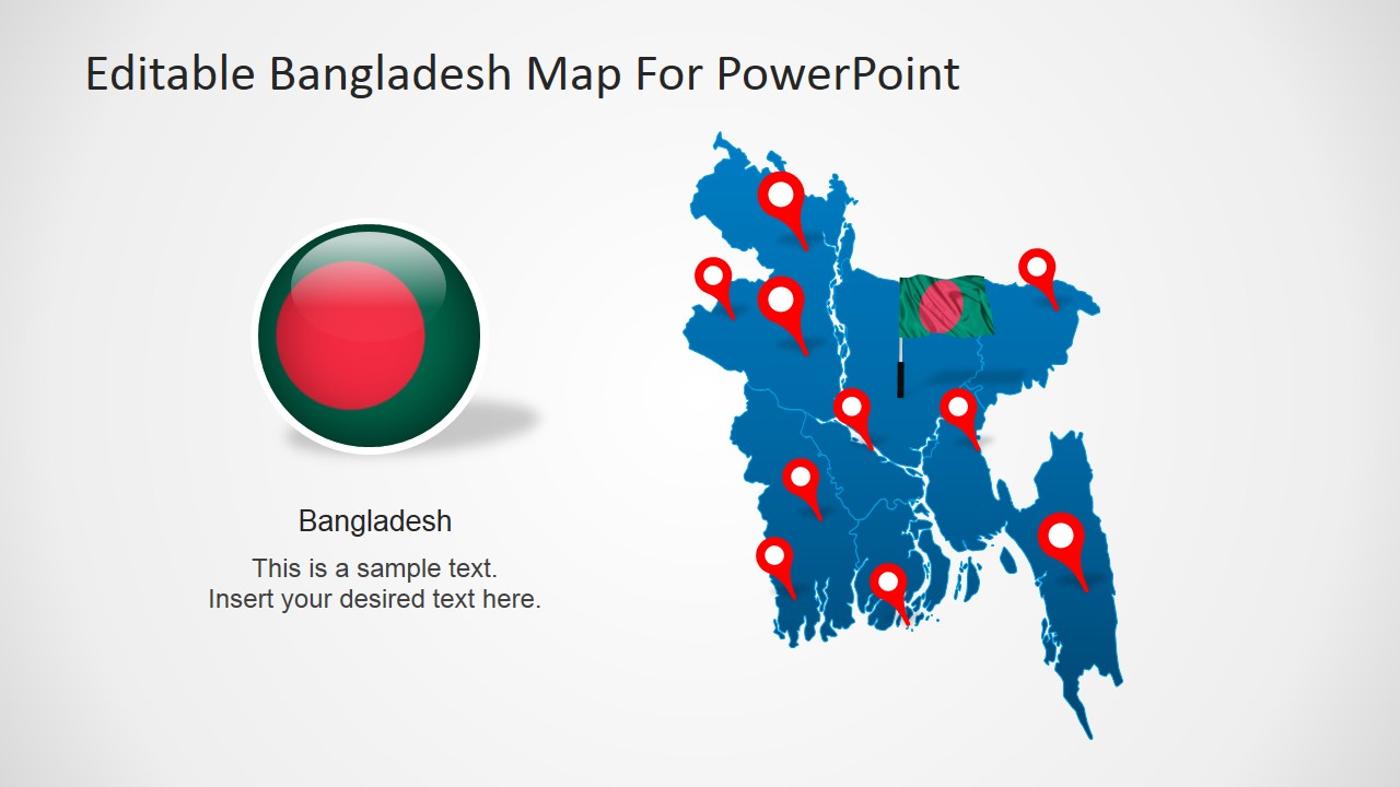
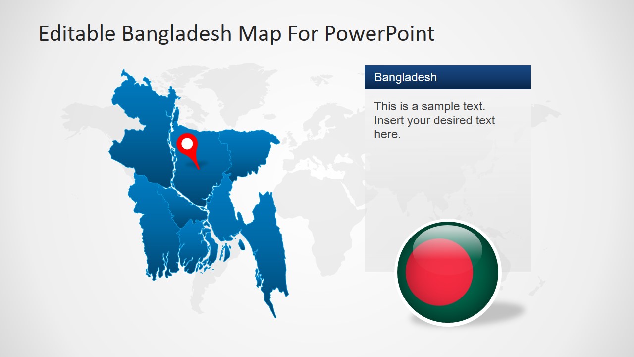
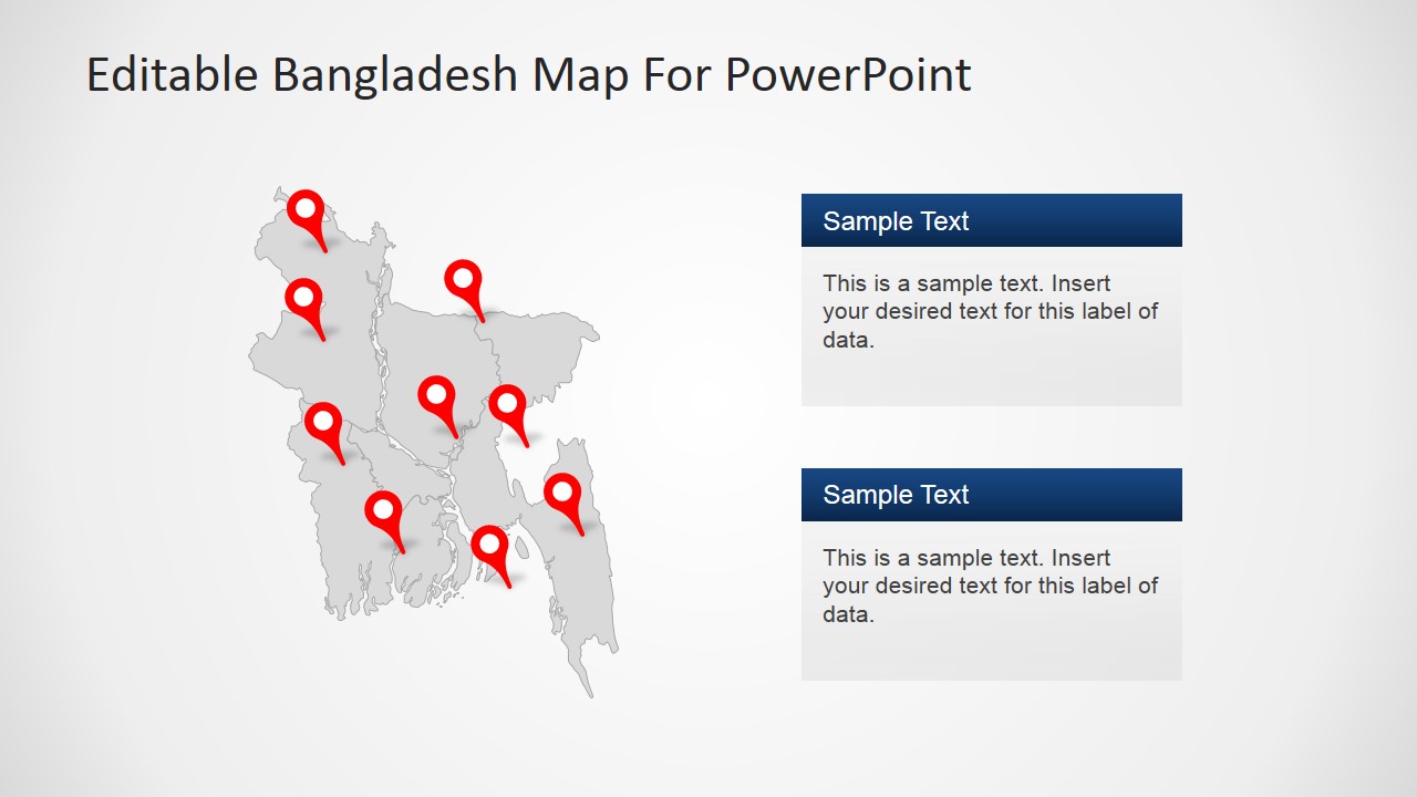
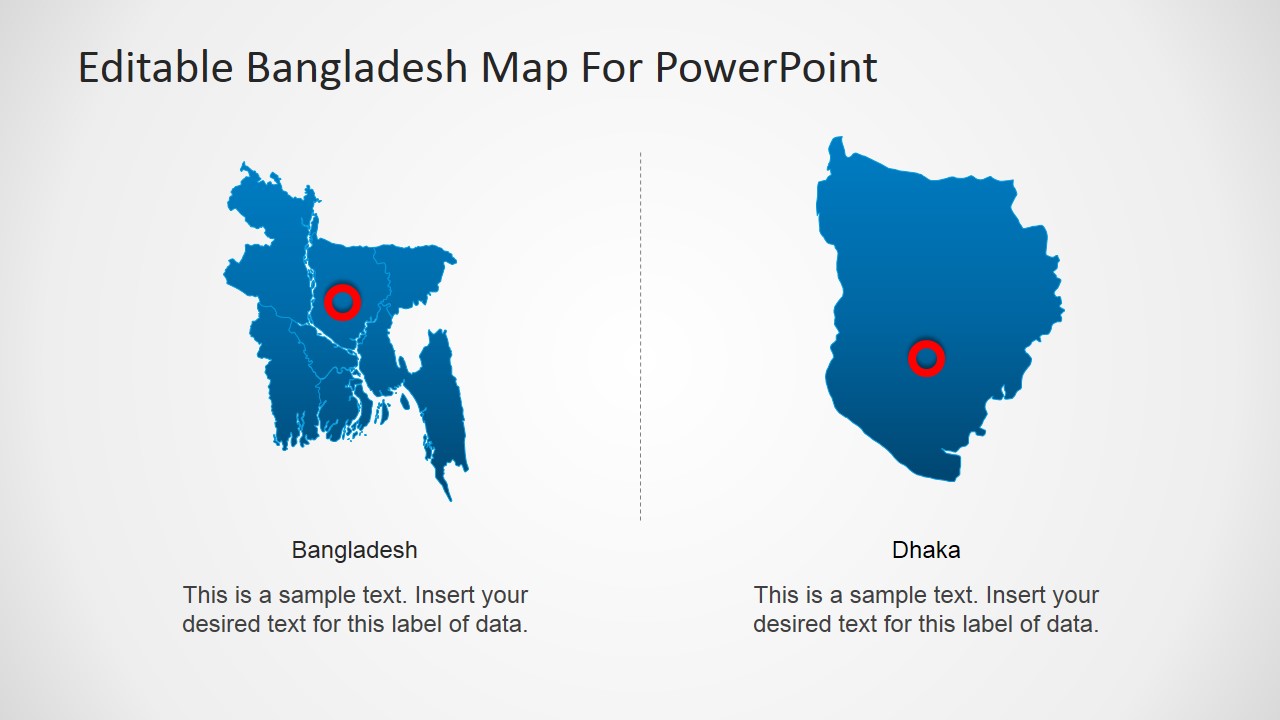
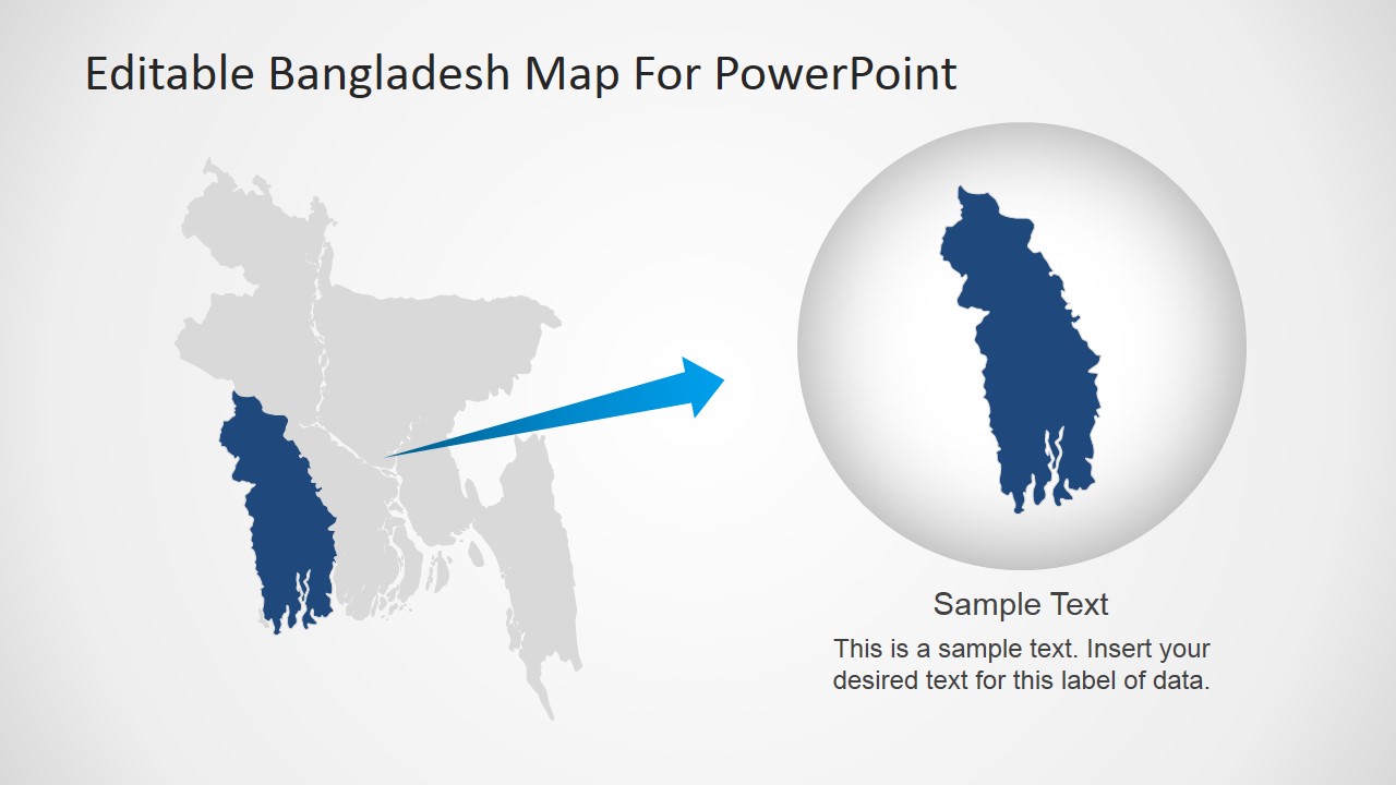
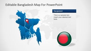
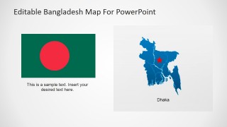
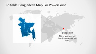
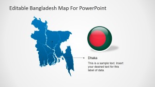
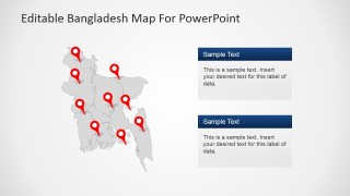
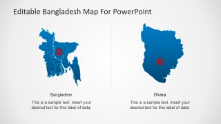
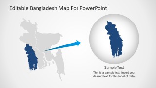
Editable Bangladesh PowerPoint Map – Create professional presentations featuring Bangladesh with this editable Bangladesh political outline PowerPoint Map. Each of the slides contains a 100% editable PowerPoint Maps of the People’s Republic of Bangladesh. The maps are created with PowerPoint shapes of each of Bangladesh regions, allowing the user not only to feature the complete country map, but also create presentations of each state/region. The maps are decorated with GPS location PowerPoint Icons and highlighting effects, that can be applied to wide range of presentations.
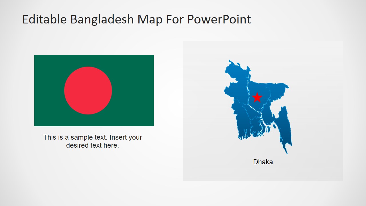
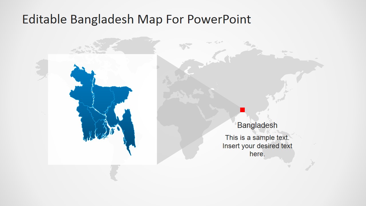
The People’s Republic of Bangladesh is located in South Asia. It borders with India at the west, north and east and with Burma at the southeast. It faces the Bay of Bengal at its south. The capital city of Bangladesh is Dhaka, which belongs to the region of the same name. The major administrative regions are:
- Barisal
- Chittagong
- Dhaka
- Khulna
- Rajshahi
- Rangpur
- Sylhet
The user can apply the Bangladesh PowerPoint Map to a Geography lecture and describe the political outline of the country and its borders. Executives can plan their trips or create a travel plan presentation through the map. During sales or marketing presentations the user can describe a Marketing Strategy being applied to Bangladesh markets, or an internationalization plan of a corporation willing to grow over the country.
