Editable Aruba Map PowerPoint Template
The Editable Aruba Map PowerPoint Template is a presentation layout for Islandic country. Aruba is Lesser Antilles Island in the Southern Caribbean Sea. It is located north of the Venezuela coast, South America. This group of Islands also include Virgin Islands, Saint Martin, Guadeloupe, Grenada, Barbados, Trinidad and Tobago. The SlideModel catalog of map PowerPoint templates contains editable outline maps of these island countries. Aruba’s economy is dominated by tourism followed by aloe exports. The island has attracted tourists from North America and Europe. This tropical destination is an island of wind and the breeze keeps cool when it gets very hot.
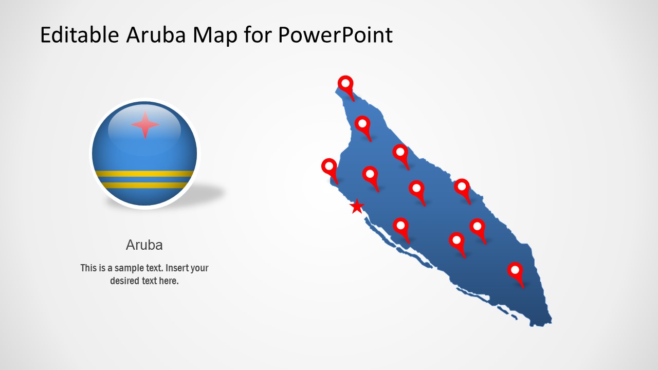
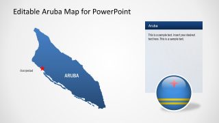
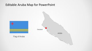
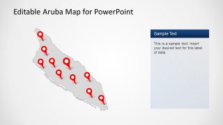
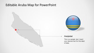
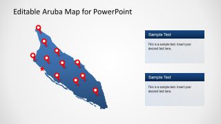
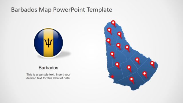
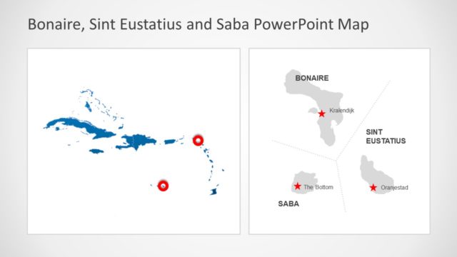
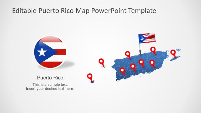
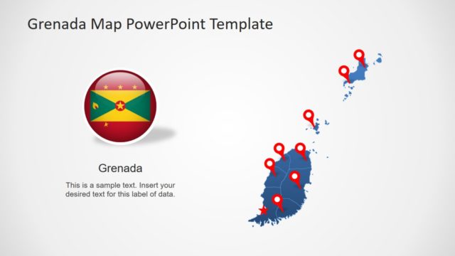
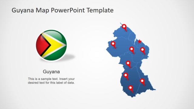
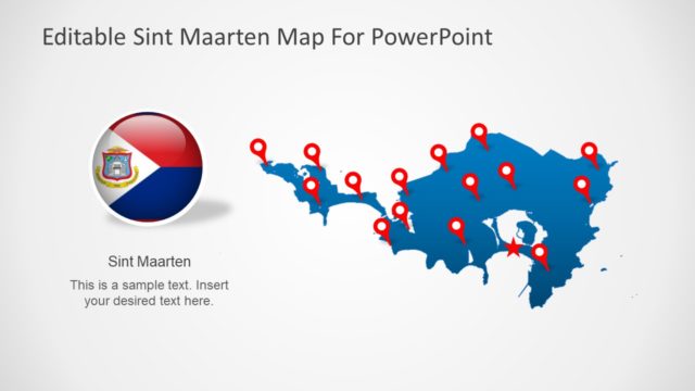
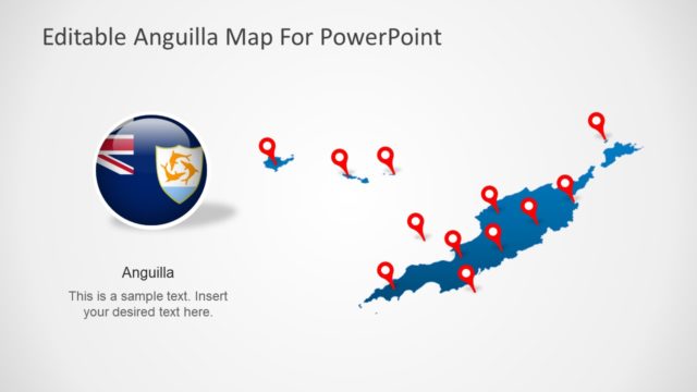
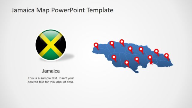
The PowerPoint map template of Aruba display flat blue and gray silhouette maps. There are no administrative subdivisions of Island. Its capital City is Oranjestad. The country map template includes multiple slide versions of geographical region with clipart location pins, flags, and labeling placeholders. These supporting components will help display area of Aruba and highlight its capital. It is a useful presentation tool to discuss various geographic concepts. Such as pinpointing tourist destinations or Aruba resorts. Similarly, discuss Aruba weather with editable map presentations. Because users can alter colors to reflect country’s weather changes. For example, change the color of map template, apply gradient effects, manipulate location markers, or PowerPoint background.
The Editable Aruba Map PowerPoint Template is a pre-made presentation of Caribbean Island. The users can copy desired slides into existing presentations with minimum changes. Moreover, you can upload Aruba map PowerPoint on Google Slides themes for online virtual presentations.
